Why it happens
Köppen–Geiger groups climates using long-term monthly temperature and rainfall. Tropical, dry, temperate, continental and polar families describe different combinations of warmth, seasonality and moisture.
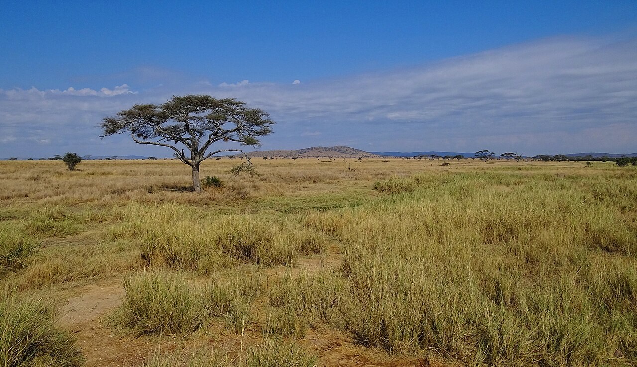
Serengeti savanna: seasonal rainfall helps explain the balance between grasses and scattered trees.Try a comparison
Select a family below the globe, then rotate Earth to compare where it occurs. The marked city gives one local example; nearby coasts and highlands may have a different class.
Reading the result
The colours summarise the 1991–2020 reference period; a location’s climate class does not determine its current weather or exact vegetation.
A common misunderstanding
One unusual day of weather can change a place’s climate classification.
Climate classifications use long-term patterns, such as monthly temperature and precipitation statistics. A heatwave or wet day is an event within that distribution. Classifying a place therefore requires a representative record, while a longer-lasting shift in the statistics may eventually change its classification.
Köppen
A climate classification system that groups places by long-term monthly temperature and precipitation. Its letter codes describe climatic thresholds and seasonality. Vegetation can suggest a climate, but one landscape or one day’s weather cannot determine the classification.
Exmoor, North Devon: a landscape within the Cfb oceanic climate region. Köppen classes use long-term monthly temperature and precipitation, not the weather on the day of the photograph.Biome
A large ecological region characterised by its vegetation and associated organisms, influenced strongly by climate, soils and disturbance.
Serengeti savanna: seasonal rainfall helps explain the balance between grasses and scattered trees.Cfb
Köppen temperate oceanic climate, with no dry season and warm rather than hot summers. London is a familiar example.
BWh
Köppen hot desert climate: precipitation falls below the desert aridity threshold and mean annual temperature is at least 18 °C.
Sossusvlei dunes, Namib Desert. Wind transports loose sand by surface creep and saltation; the dunes record accumulated transport rather than individual grain paths.Af
Köppen tropical rainforest climate: every month averages at least 18 °C and receives at least 60 mm of precipitation.
Tropical forest at Bodiman, Cameroon. This is a landscape example for tropical rainforest climate; an Af classification is determined from long-term monthly temperature and rainfall, not from vegetation alone.Continentality
The influence of distance from the ocean on a place’s climate. Inland locations often have larger seasonal temperature ranges because land heats and cools faster than water. Prevailing winds, elevation and nearby currents also affect the contrast.
Steppe near Jargalant, Mongolia, far from a moderating ocean. Continental interiors often have larger annual temperature ranges; a weather station's long-term record is needed to measure that range.Climate
The statistical pattern of weather over a long period, commonly 30 years, including averages, seasonal variation and extremes.
Charterhall weather station, Scotland. Standardised instruments measure local conditions; climate describes their statistics over many years.