An open classroom for Earth science
Understand the Earth in 3D.
Turn a model, change a variable and see how the Earth works. Explore geography through interactive labs and the landscapes they help explain.
Completely free for students, teachers and school geography clubs, with no account, adverts or paywall.
Explore by subject
Where would you like to begin?
10 labs
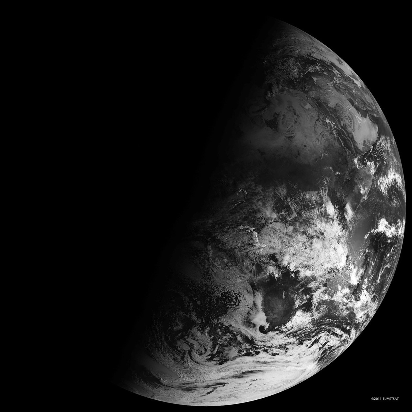
Planet
Explore how Earth’s motion and its relationship with the Sun and Moon produce days, seasons, phases and eclipses.
8 labs
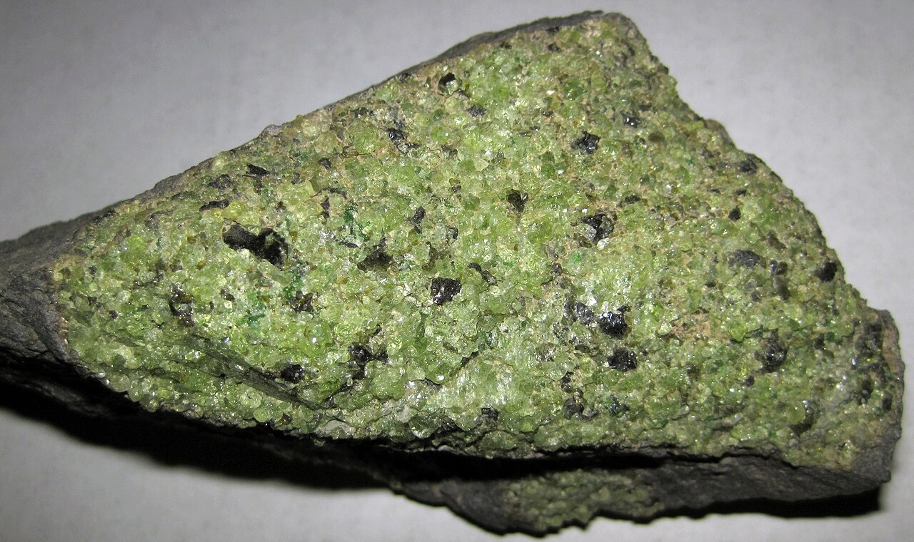
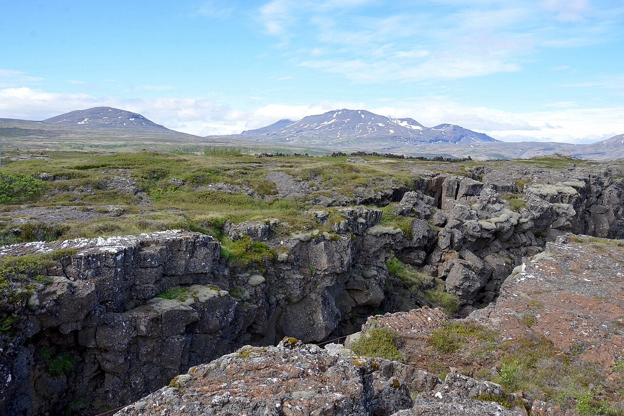
Interior & Plates
Look inside Earth and follow the movement of tectonic plates to understand how oceans open and mountain belts form.

9 labs
Atmosphere
Investigate how sunlight, air pressure and circulation shape weather and the world’s broad climate patterns.
9 labs
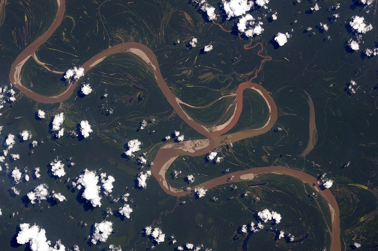
Water & Carbon
Trace water and carbon through connected stores, then compare the behaviour of rivers, oceans and catchments.
11 labs
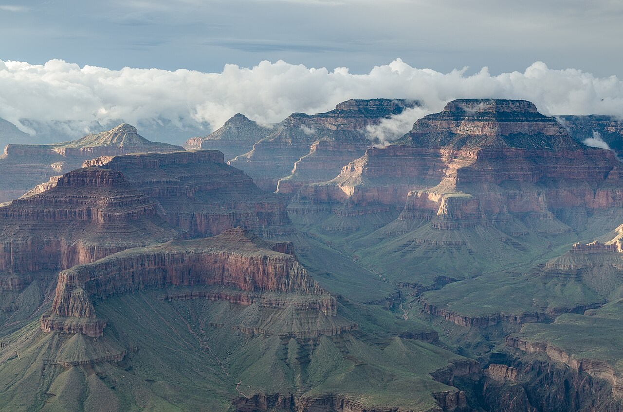
Landforms
Examine how rivers, waves, glaciers and rock deformation create the landforms we observe in the landscape.
6 labs
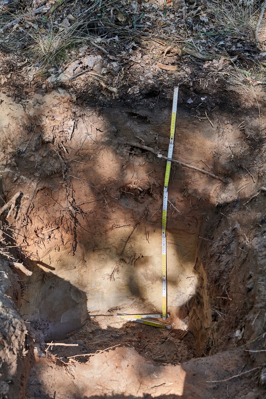
Soils & Rocks
Inspect rock textures and soil profiles, and compare the processes that break down, transport and transform their material.
5 labs
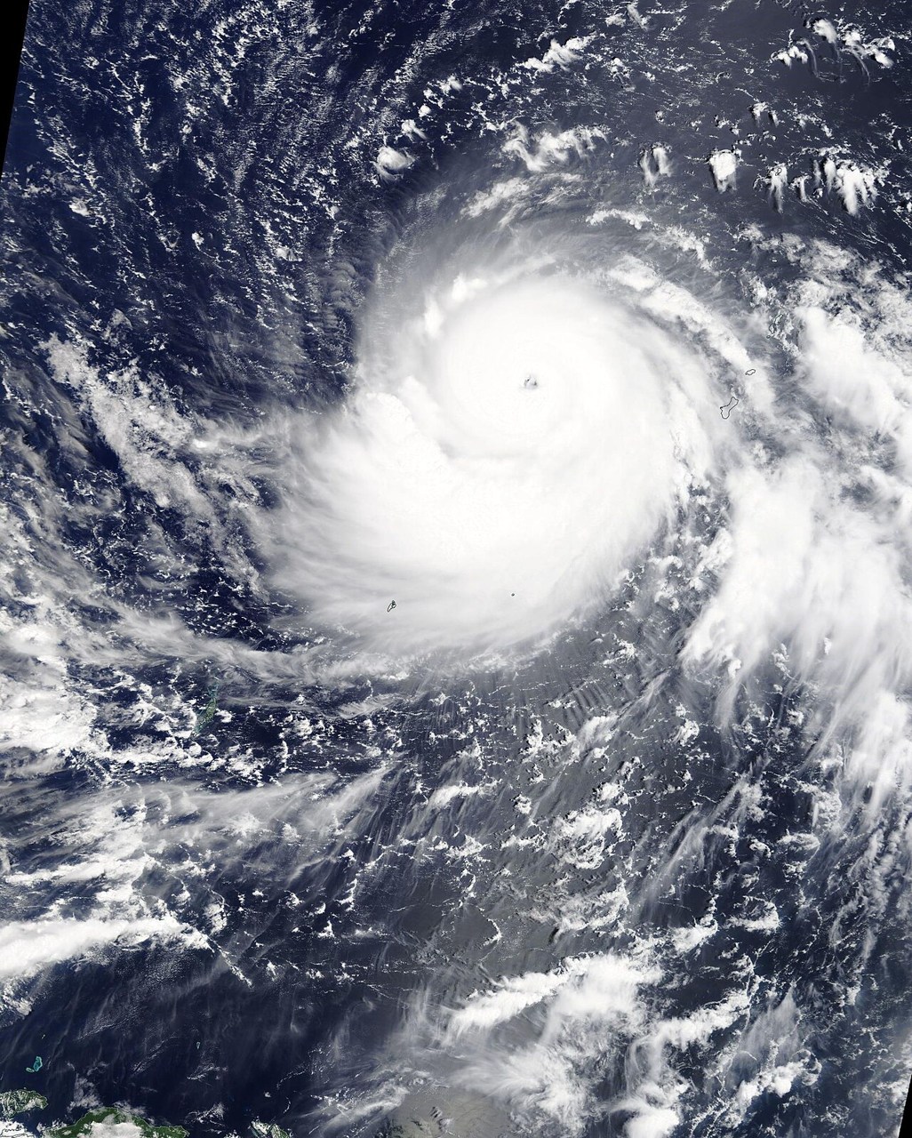
Hazards
Explore the mechanisms behind earthquakes, eruptions and severe storms, and distinguish a physical process from its local impacts.
4 labs
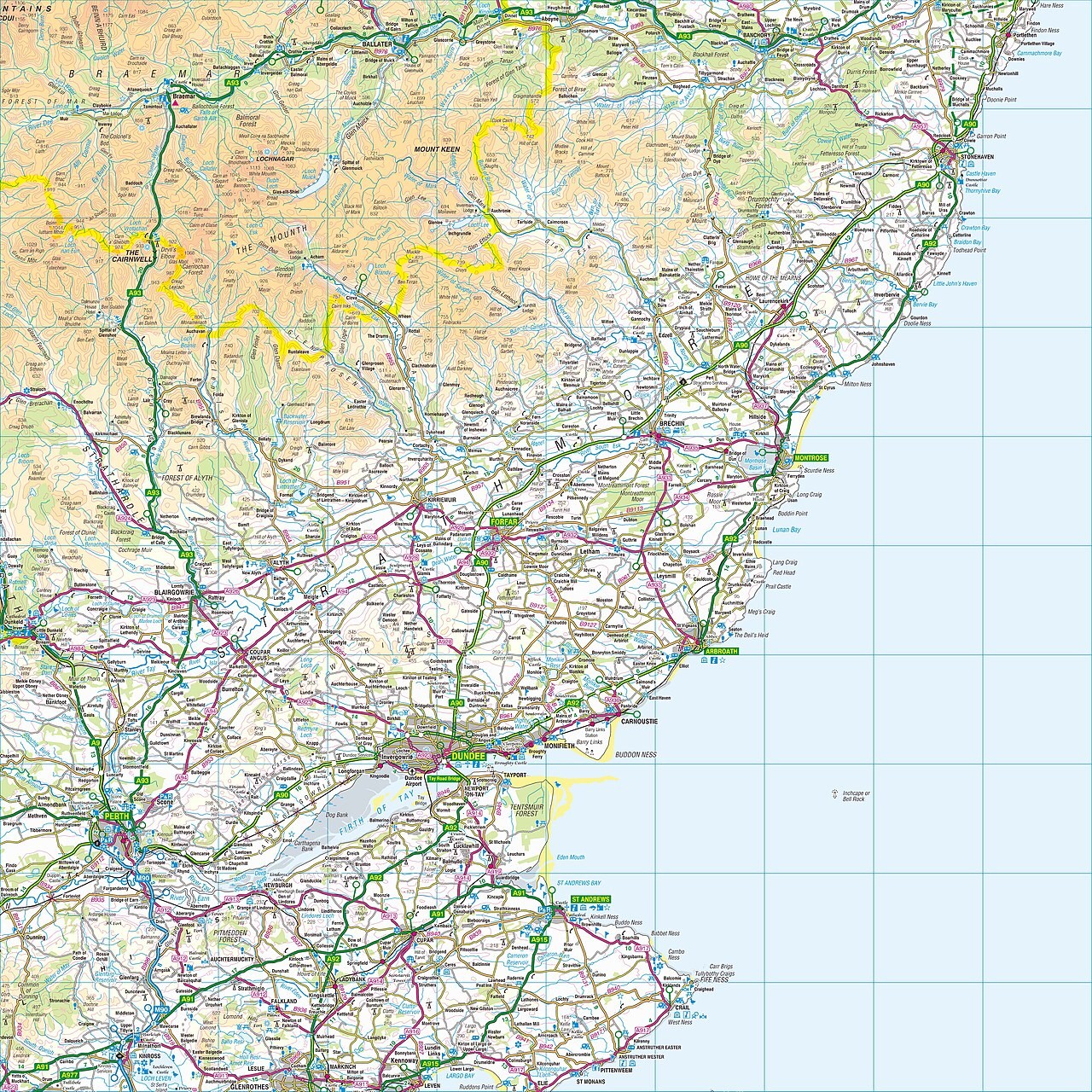
Skills
Build confidence with contours, coordinates and projections by comparing each map with the terrain or globe it represents.
Inside the models
A closer look at familiar questions.
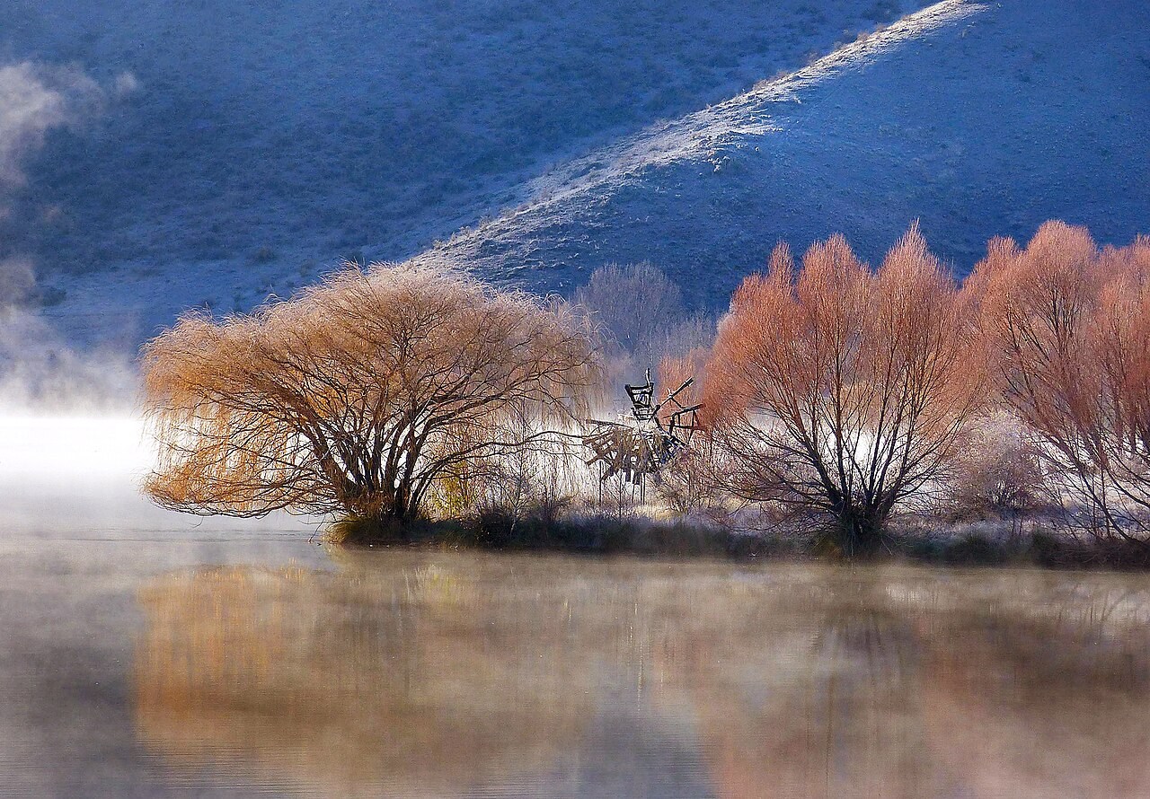
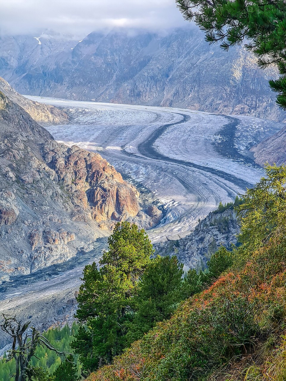
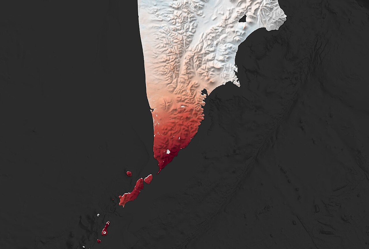
From the model to the landscape
Earth science in real places.
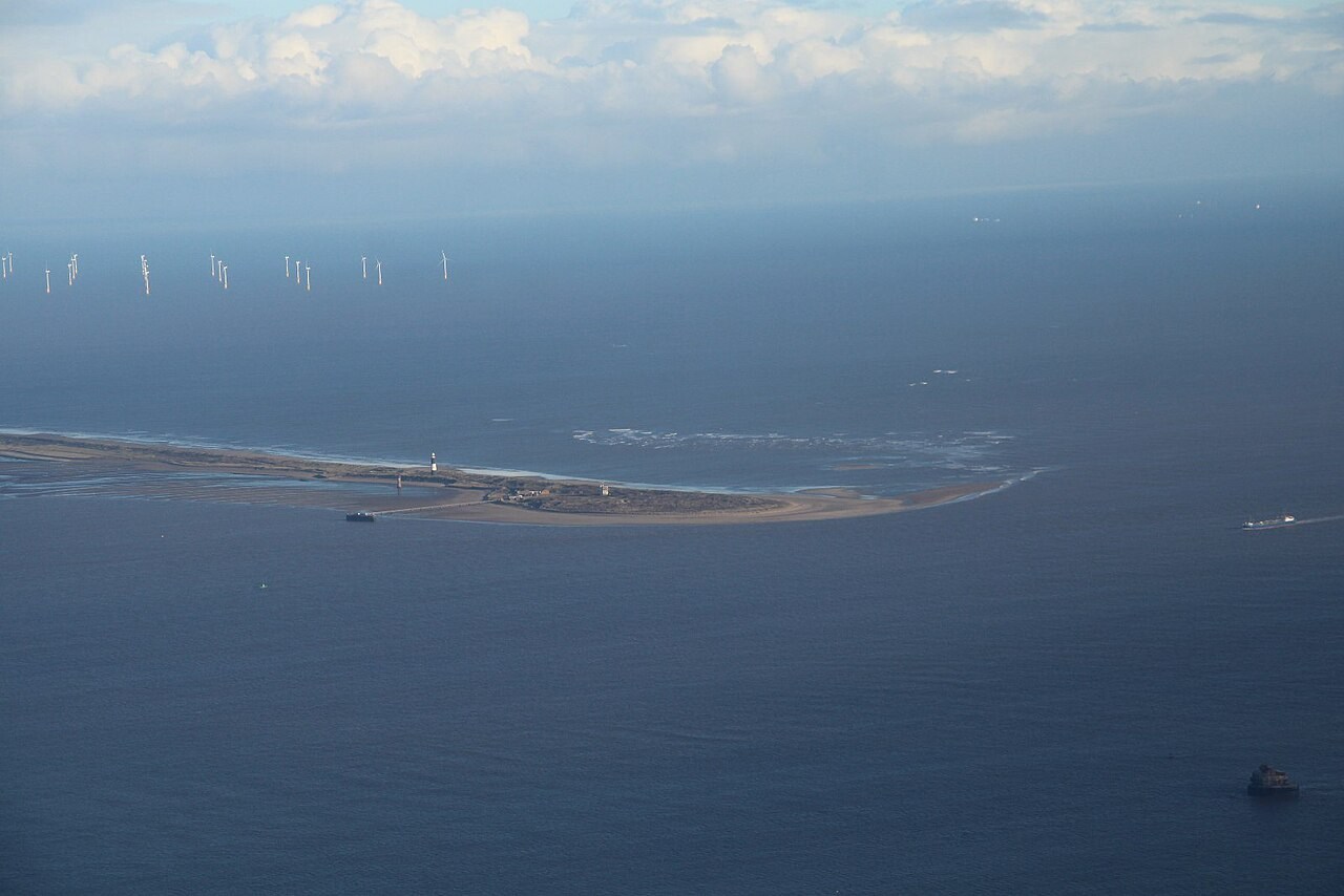
UK
Holderness coast
See how waves erode soft cliffs and move sediment along the Holderness coast.
Read the case study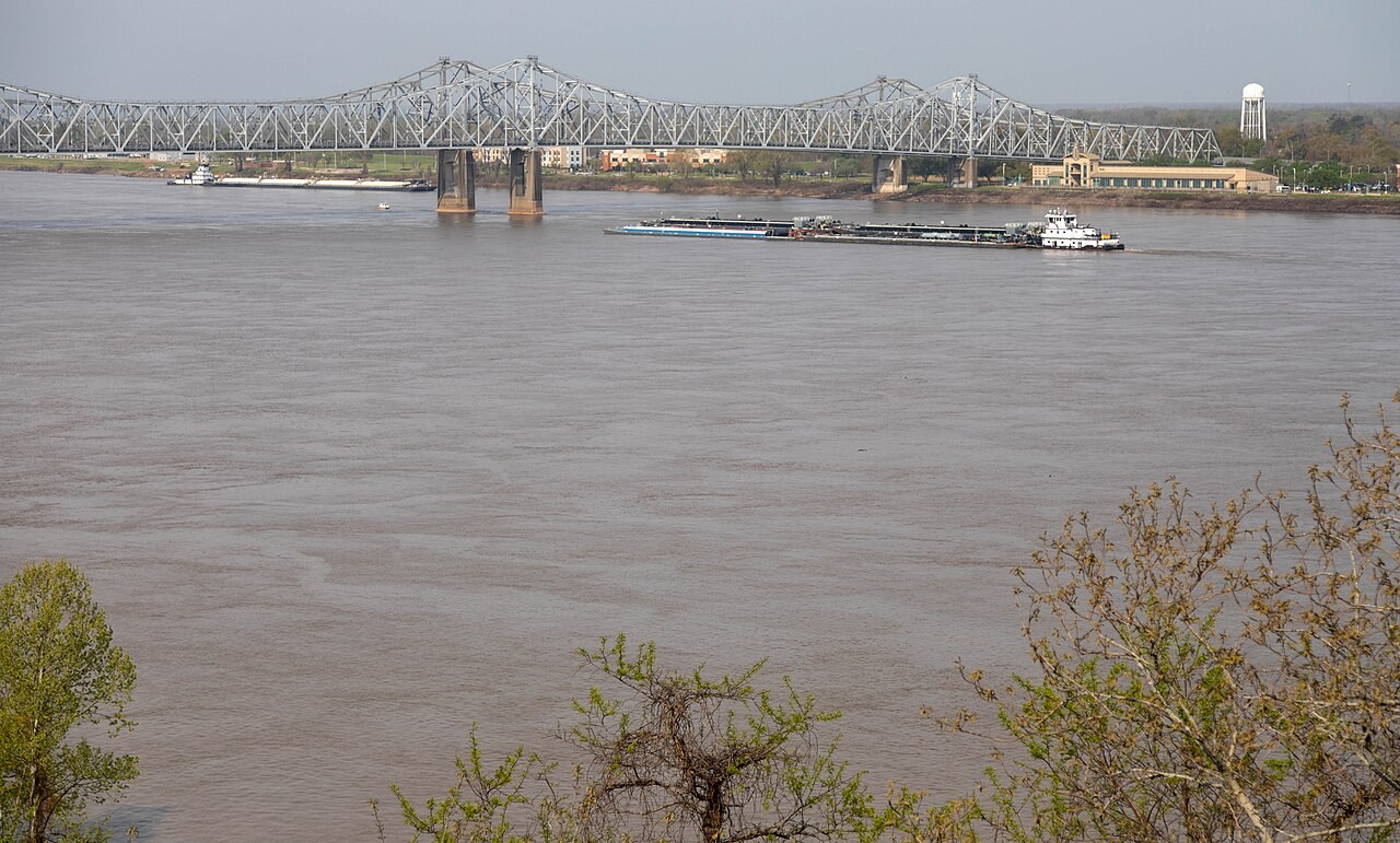
US
Mississippi and delta
Follow a large river across its floodplain and investigate how people manage flood risk.
Read the case study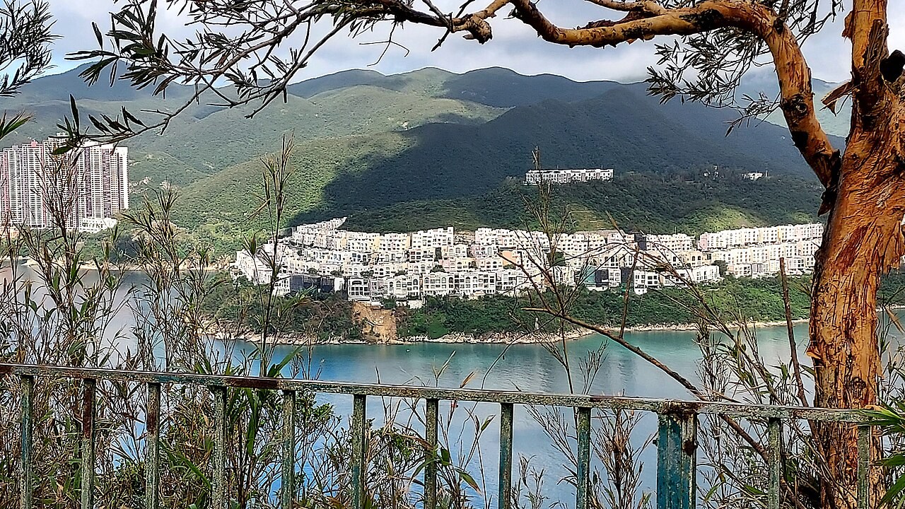
East Asia
Hong Kong slopes
Explore how intense rain and weathered rock contribute to landslides on steep slopes.
Read the case study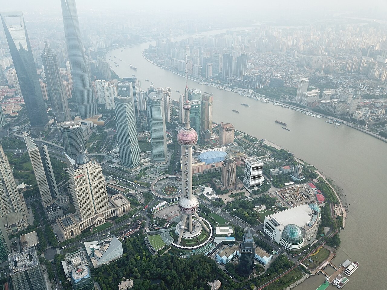
East Asia
Shanghai, Meiyu and the Huangpu
Investigate how a low-lying city manages river water and coastal flood risk.
Read the case studyFor the classroom and geography club
Build a lesson around a question.
Start with a landscape, test an explanation in 3D, then ask students to describe what changed. Teaching notes pair each model with discussion prompts, common misconceptions and questions to check understanding.
Browse teaching resources