Explore
A world to investigate.
Choose a question, explore the model and connect what you find to a real landscape. Every lab is free to use in class or on your own.
62 labs
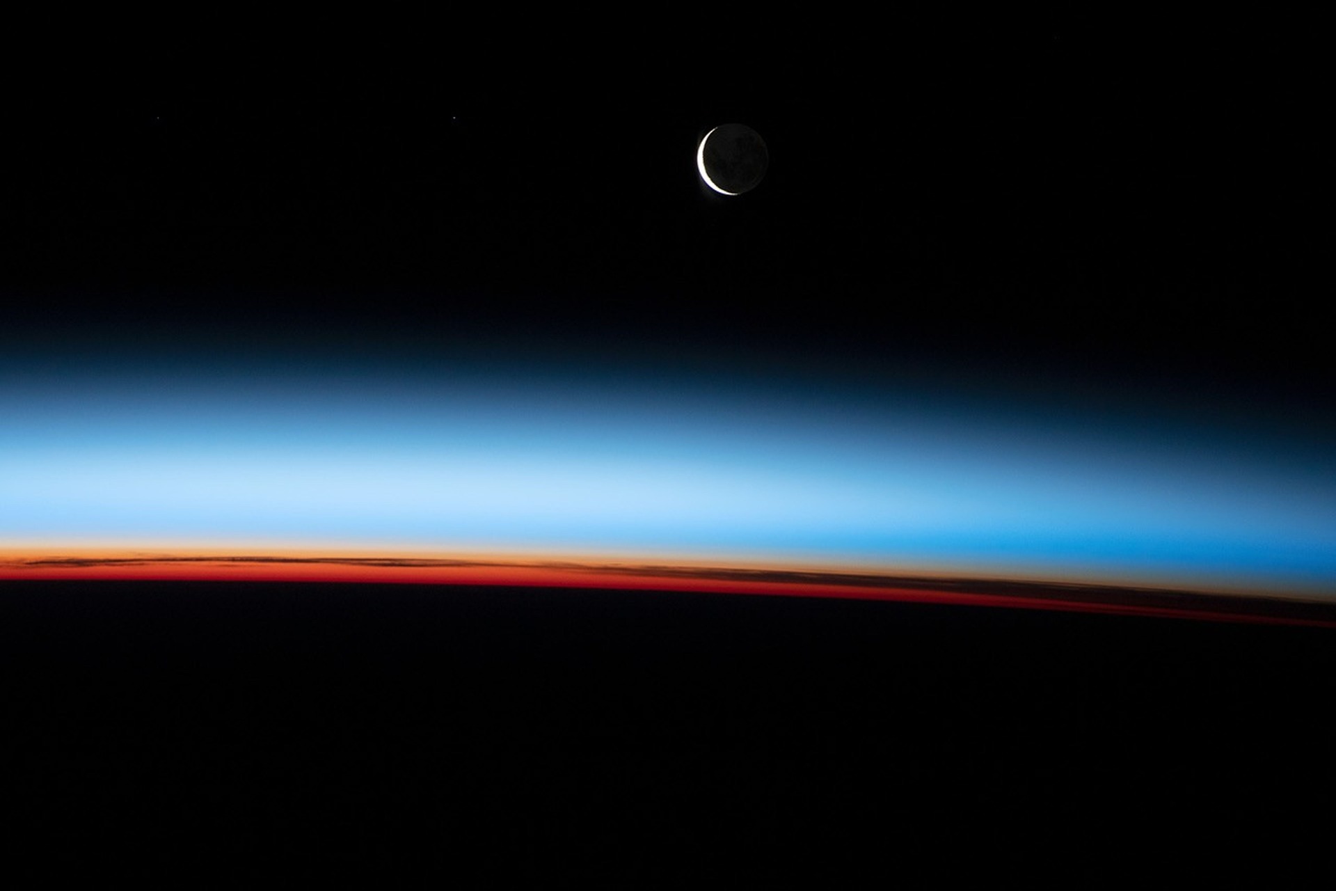
Atmosphere
Atmosphere as a thin film
Atmospheric layers are distinguished mainly by how temperature changes with altitude.
Explore the model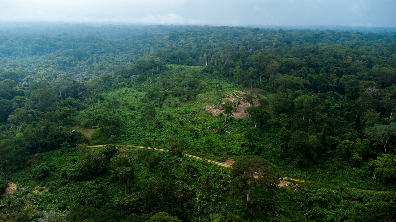
Water & Carbon
Carbon cycle
Carbon moves among the atmosphere, organisms, soils, ocean and rocks.
Explore the model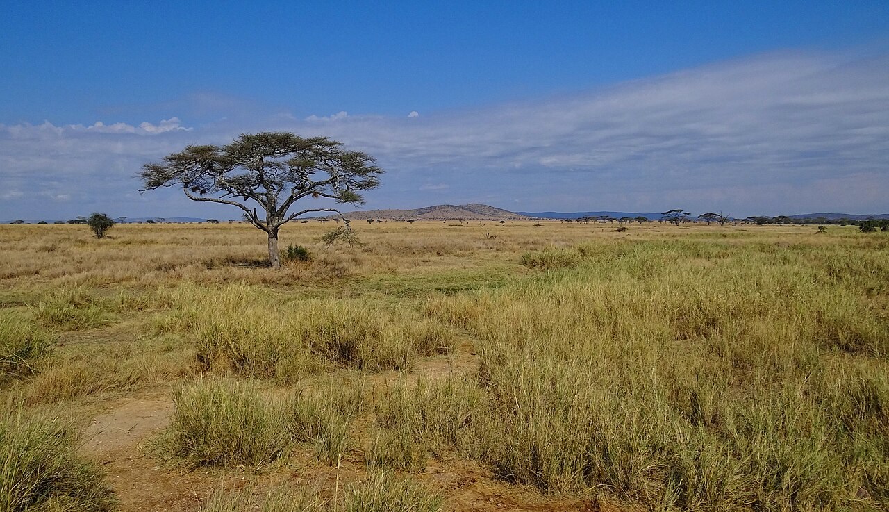
Atmosphere
Climate types
Compare the world’s climate families through long-term temperature and rainfall patterns.
Explore the model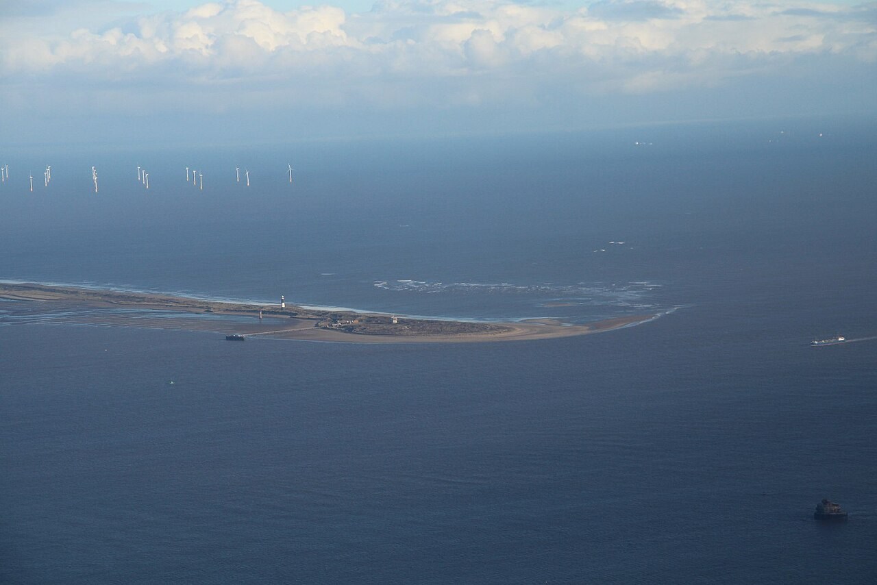
Landforms
Coasts
Waves erode rock, transport sediment and deposit it along the coast.
Explore the model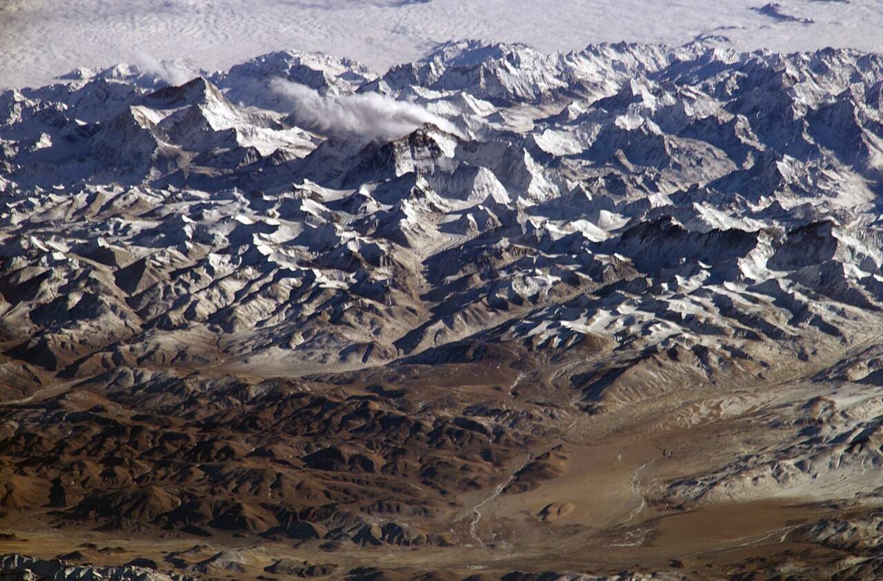
Interior & Plates
Continental drift
Continents move with tectonic plates.
Explore the model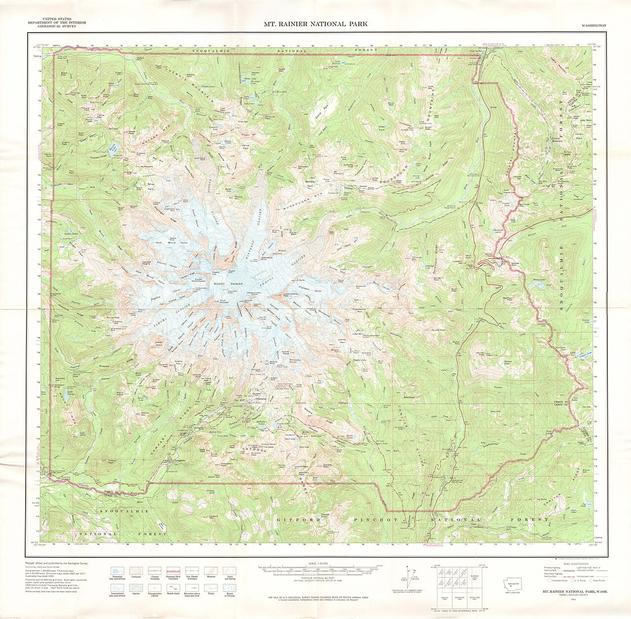
Skills
Contours ↔ 3D terrain
A contour joins places at the same elevation.
Explore the model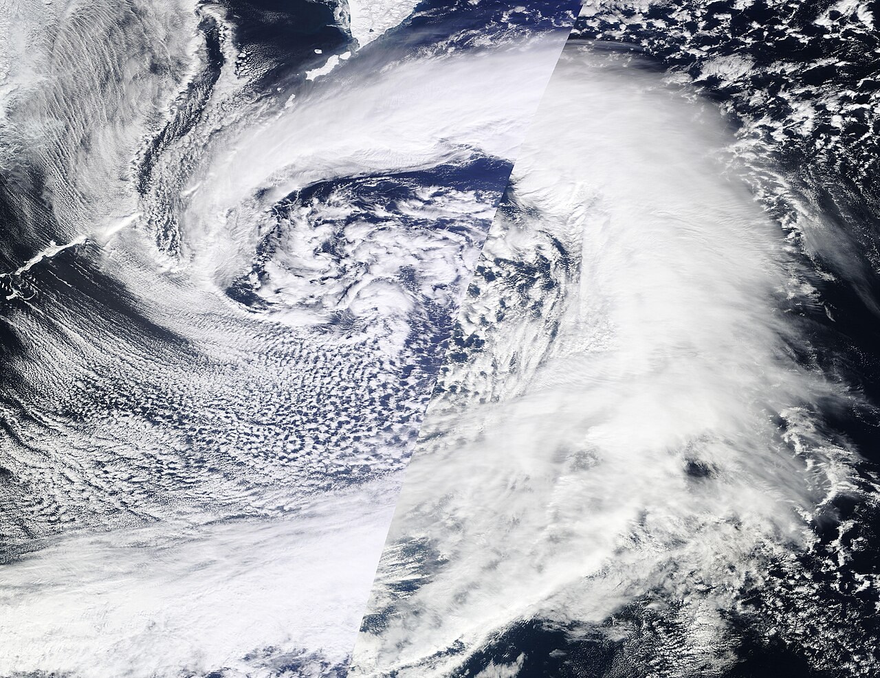
Atmosphere
Cyclone and anticyclone
Around a low-pressure system, air tends to converge near the surface; around a high it tends to diverge.
Explore the model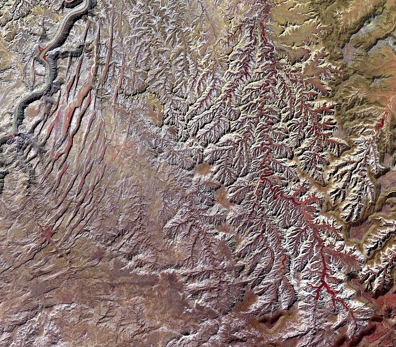
Water & Carbon
Drainage basin
A drainage basin collects water that flows towards a common outlet.
Explore the model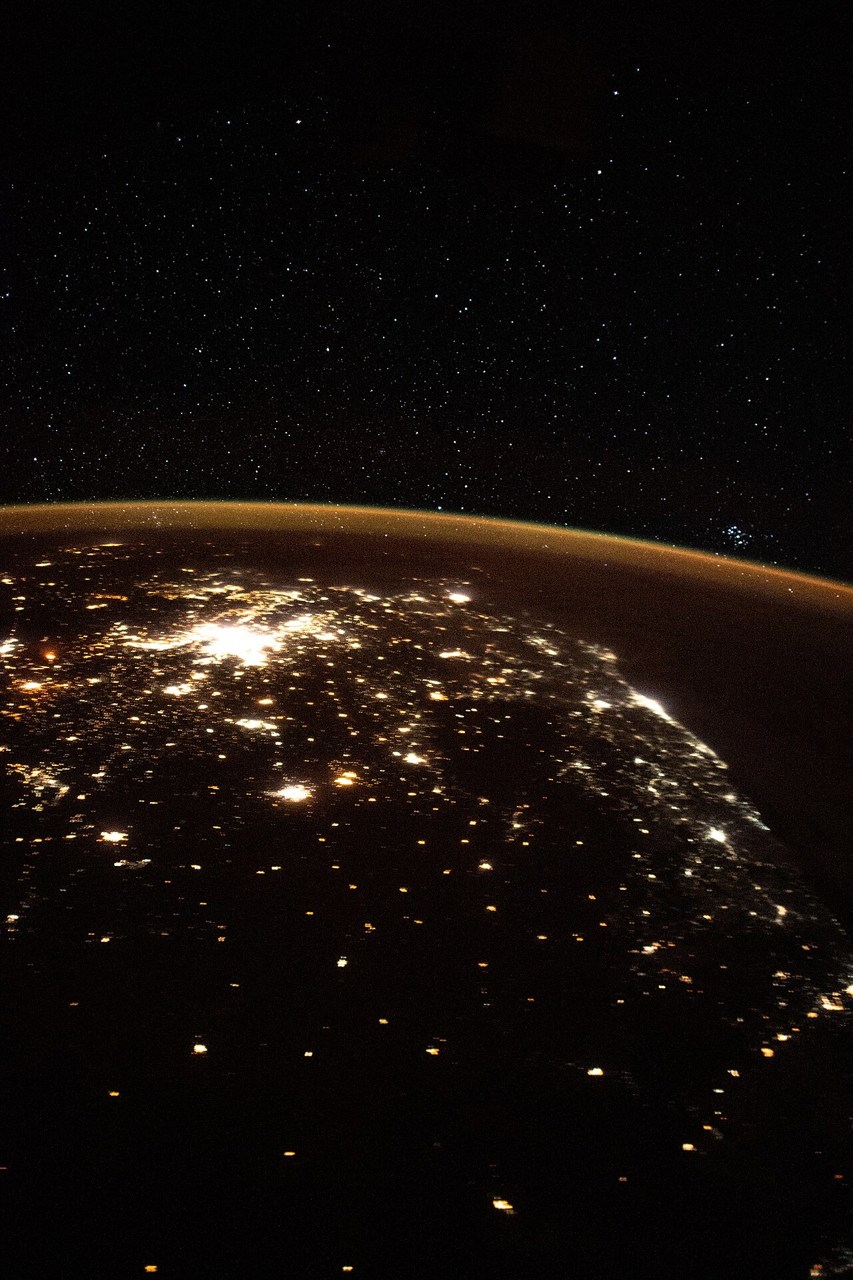
Planet
Earth rotation and the terminator
Earth turns eastward, carrying each location into sunlight and then darkness.
Explore the model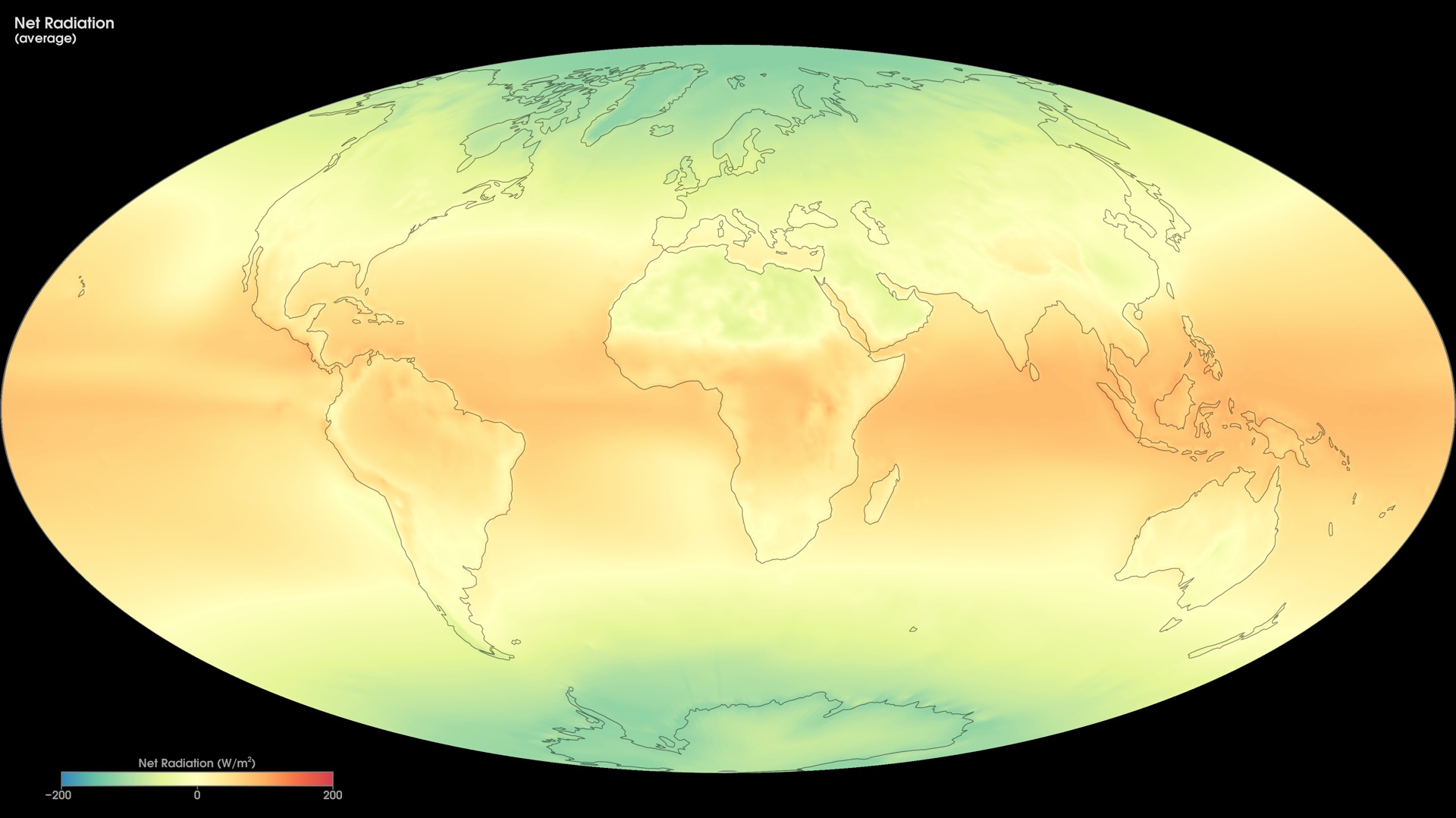
Atmosphere
Earth’s energy budget
Earth reflects some incoming sunlight and absorbs the rest.
Explore the model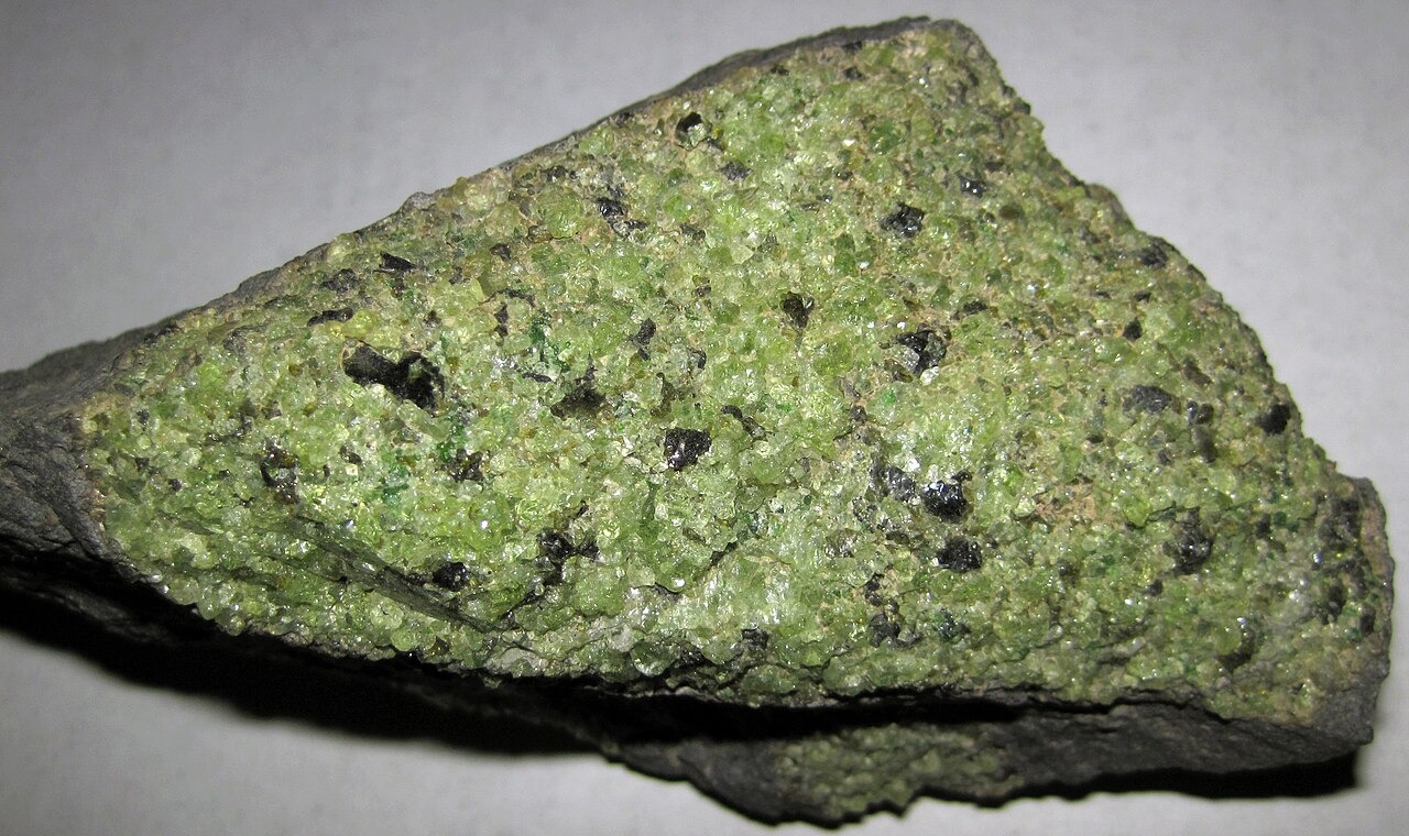
Interior & Plates
Earth’s interior
Seismic waves reveal an Earth with layers that differ in composition and physical state.
Explore the model
Hazards
Earthquakes
An earthquake releases energy when rock slips along a fault.
Explore the model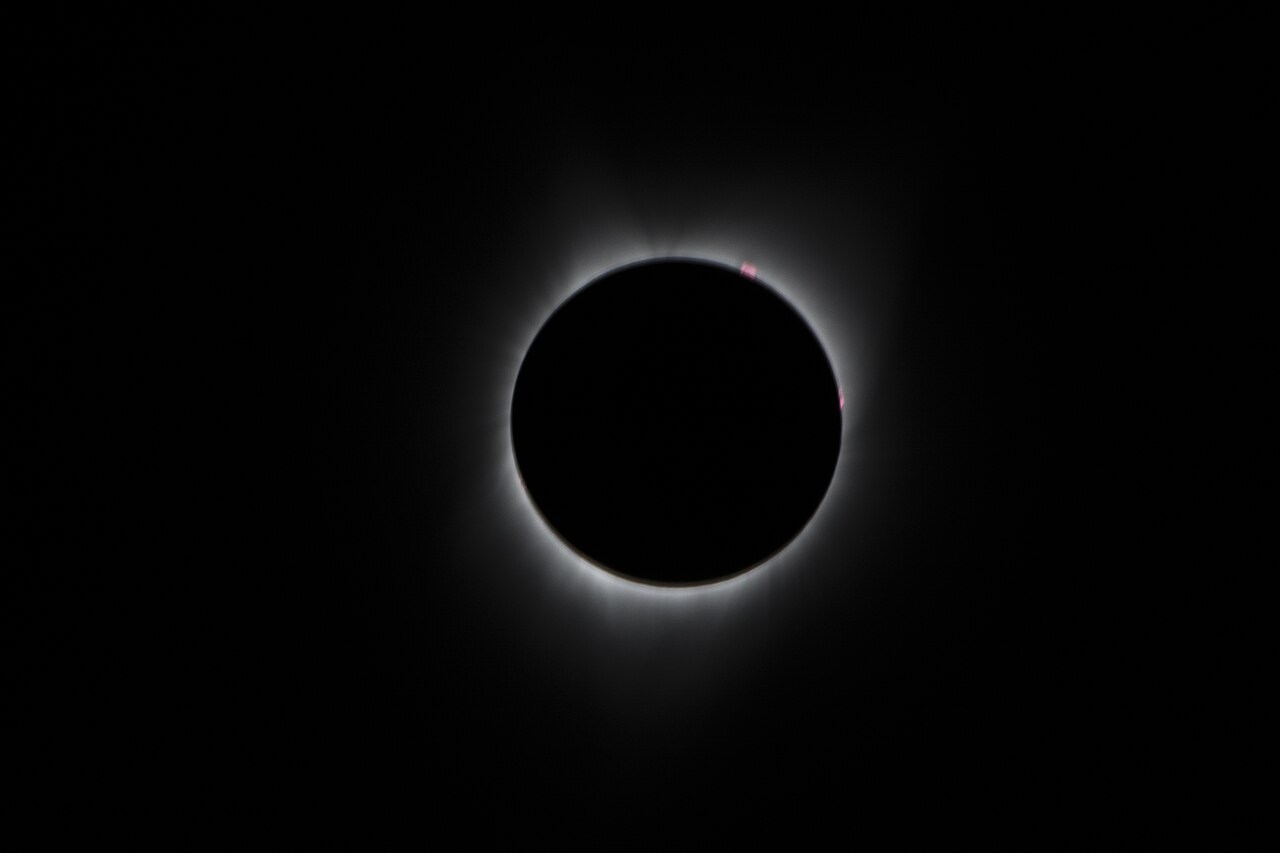
Planet
Eclipses
An eclipse requires the Sun, Earth and Moon to align closely enough for one body to enter another’s shadow.
Explore the model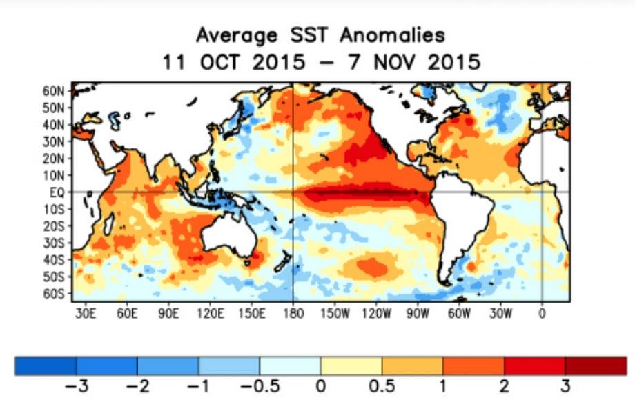
Water & Carbon
ENSO and the Walker cell
Across the tropical Pacific, trade winds, warm surface water and the thermocline interact.
Explore the model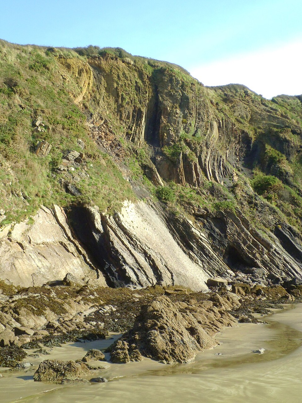
Interior & Plates
Folds and faults
Rock layers may bend into folds or break and move along faults.
Explore the model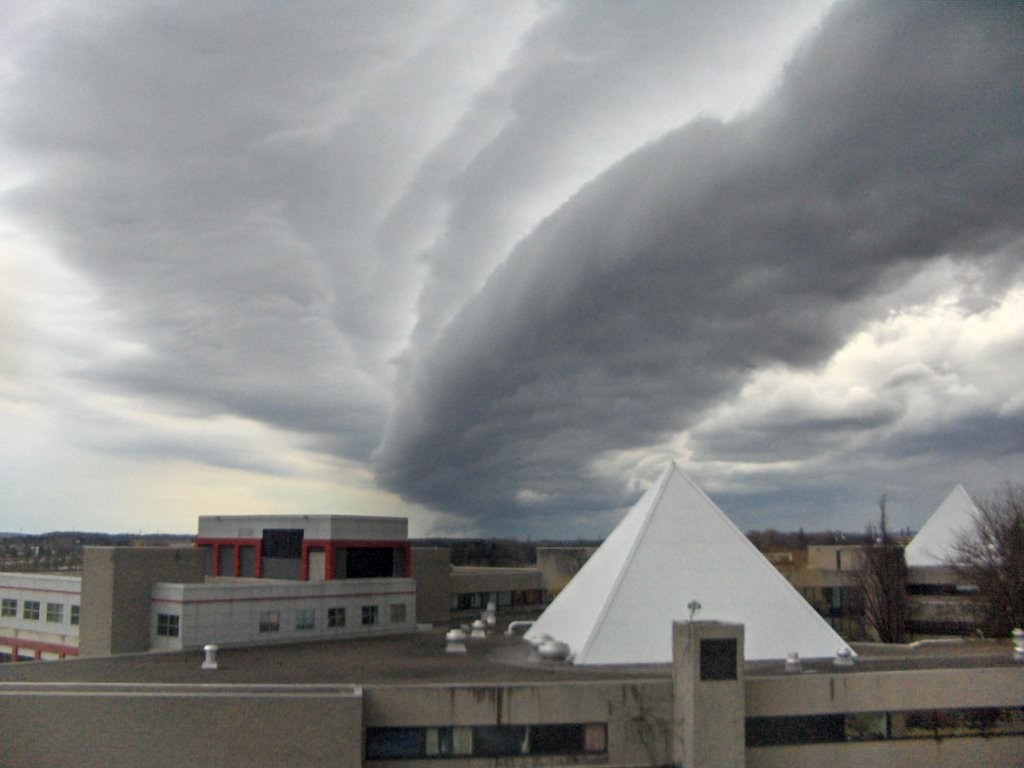
Atmosphere
Fronts as wedges
A weather front separates air masses with different temperature and density.
Explore the model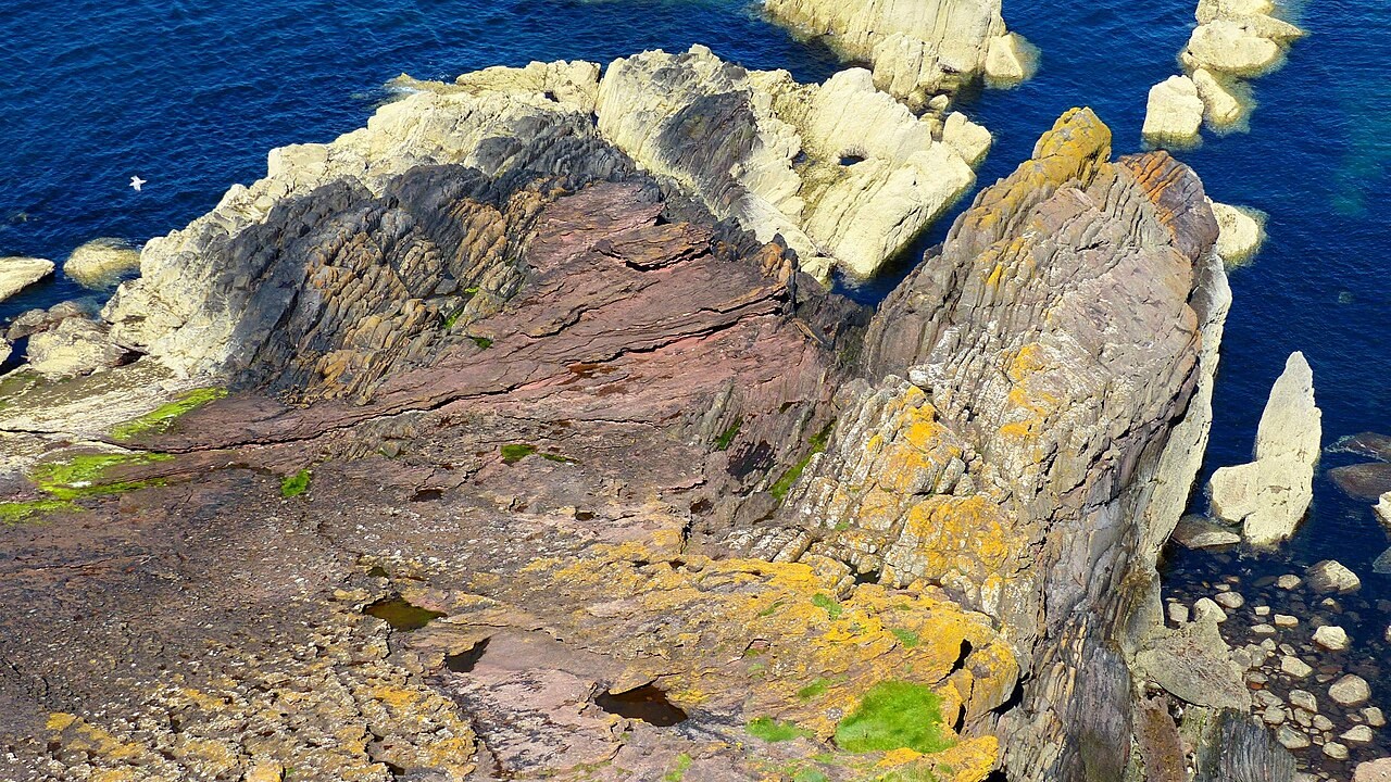
Planet
Geologic time
Earth’s history spans about 4.54 billion years.
Explore the model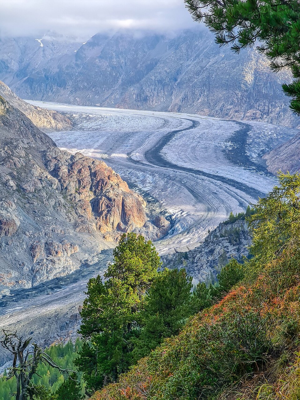
Landforms
Glacial landforms
Glacier ice flows downslope under gravity, even when its margin is retreating.
Explore the model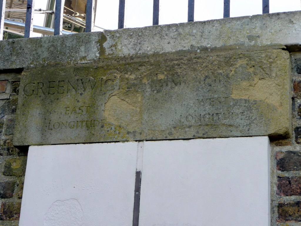
Skills
Graticule and coordinates
Latitude measures an angle north or south of the equator, while longitude measures an angle east or west of the prime meridian.
Explore the model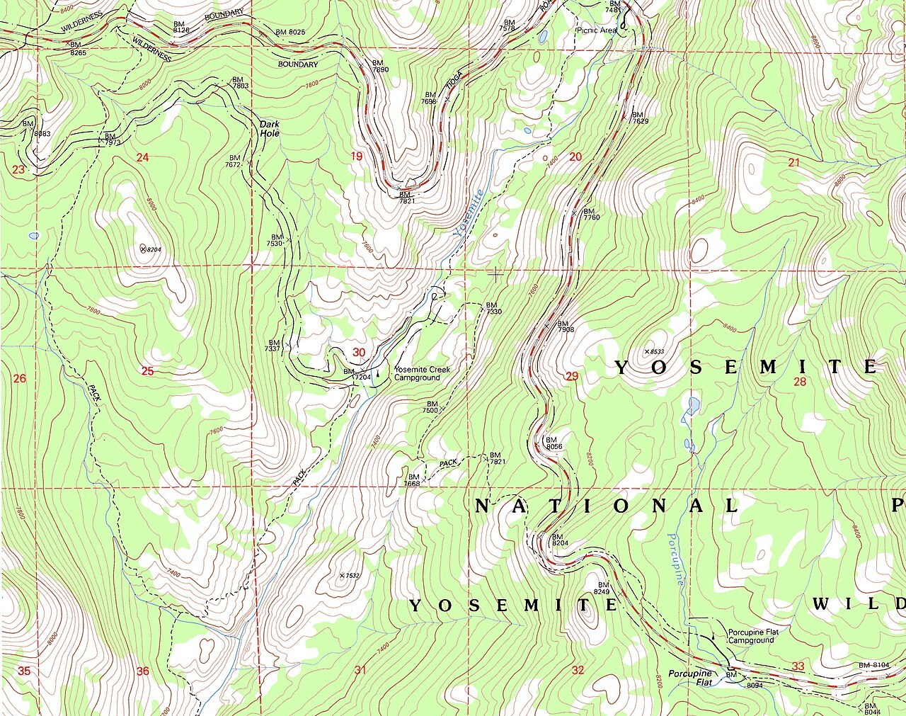
Skills
Grid references
A grid reference locates a cell using eastings followed by northings.
Explore the model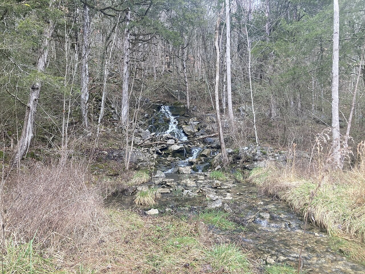
Water & Carbon
Groundwater
Groundwater fills connected pores and fractures below the water table.
Explore the model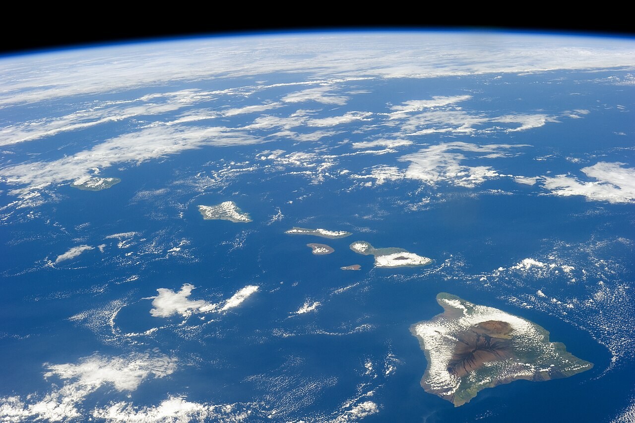
Interior & Plates
Hotspots
A moving plate can carry older volcanoes away from a long-lived region of melting.
Explore the model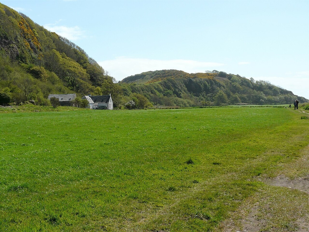
Interior & Plates
Isostasy
Adding an ice load changes the equilibrium height of the crust.
Explore the model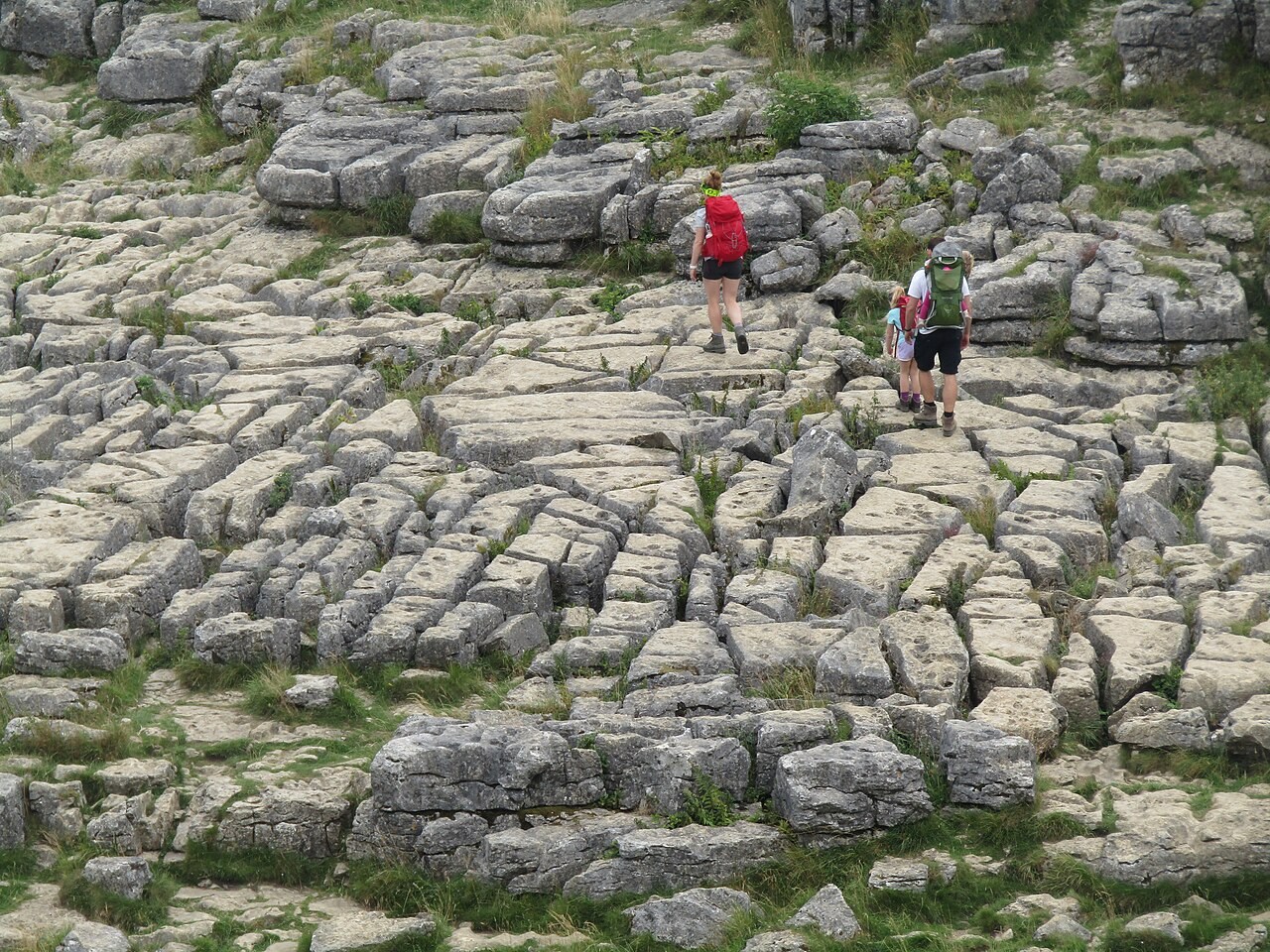
Landforms
Karst
Water containing dissolved carbon dioxide can dissolve calcite along joints and bedding planes.
Explore the model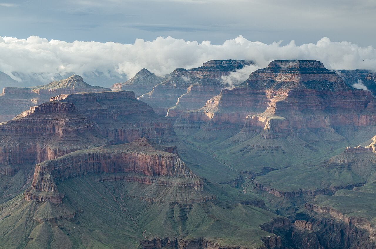
Landforms
Landform types
Elevation, relief, slope and shape describe different properties of terrain.
Explore the model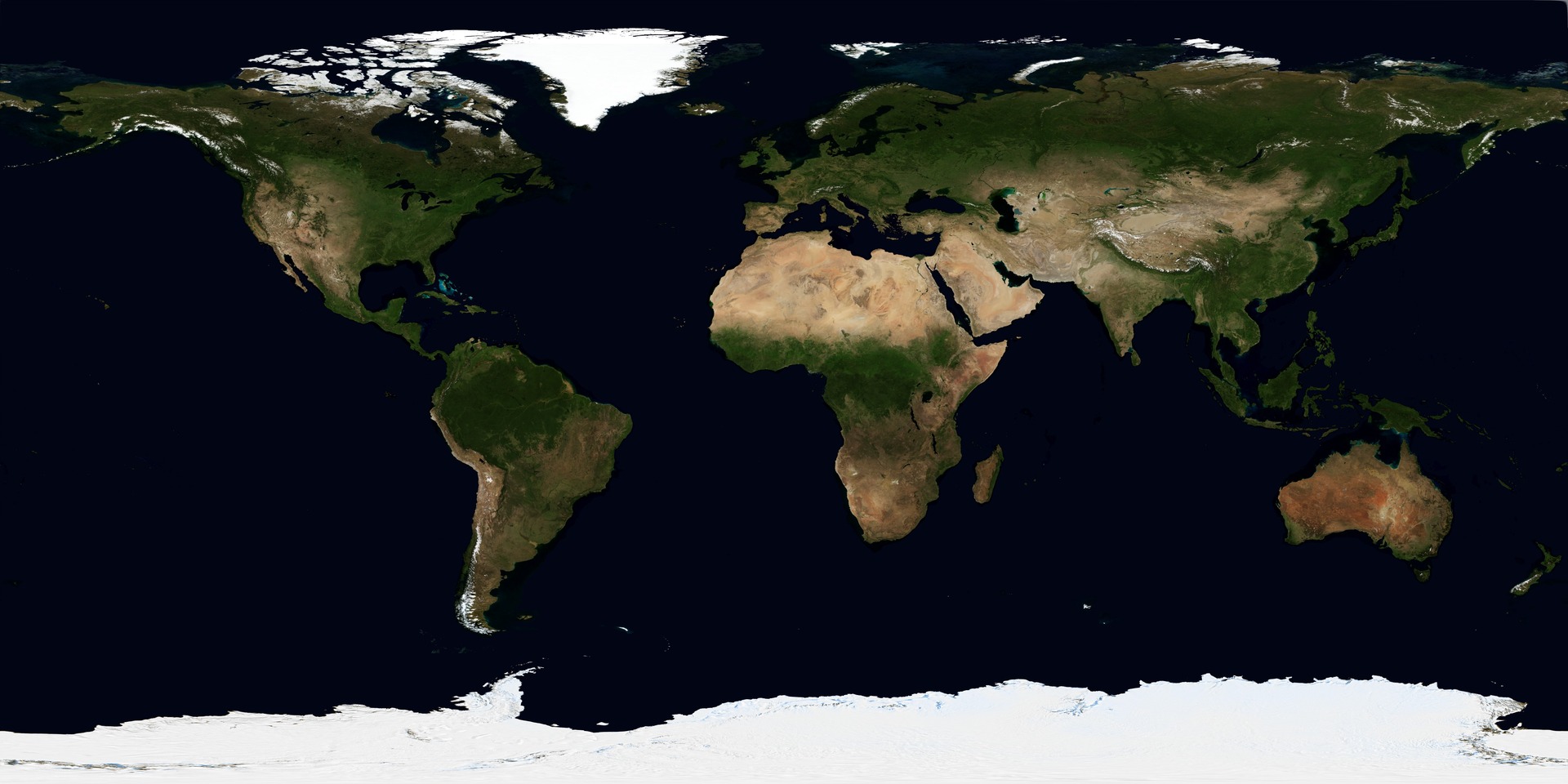
Skills
Map projections
A map projection transfers positions from a curved surface to a plane.
Explore the model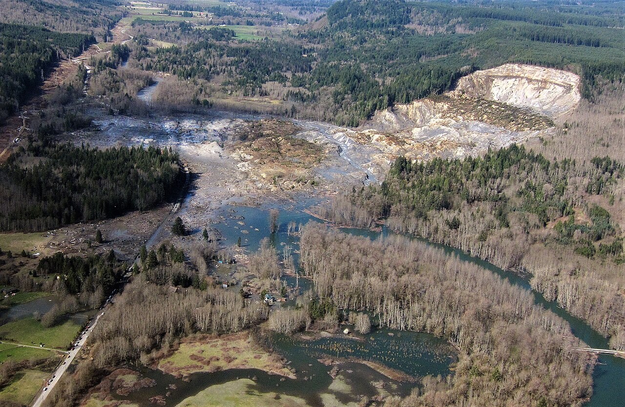
Landforms
Mass movement
Gravity drives a slope downhill while friction and cohesion resist movement.
Explore the model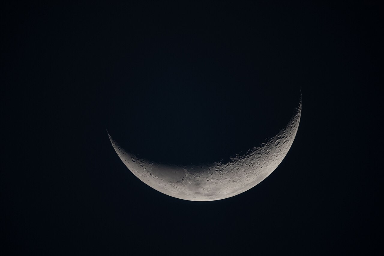
Planet
Moon phases and Sun–Earth–Moon geometry
Sunlight illuminates half the Moon.
Explore the model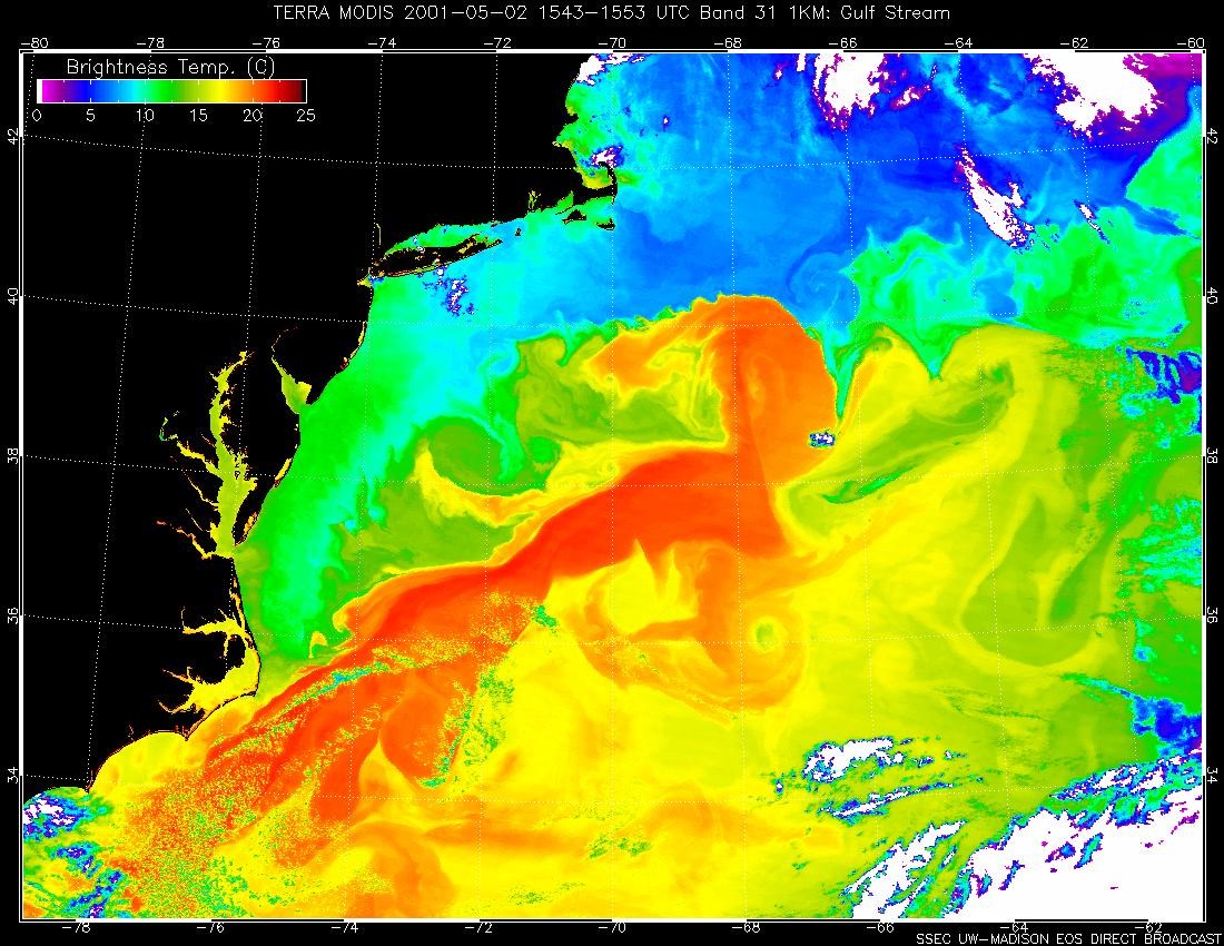
Water & Carbon
Ocean currents
Surface winds and Earth’s rotation help organise subtropical ocean gyres.
Explore the model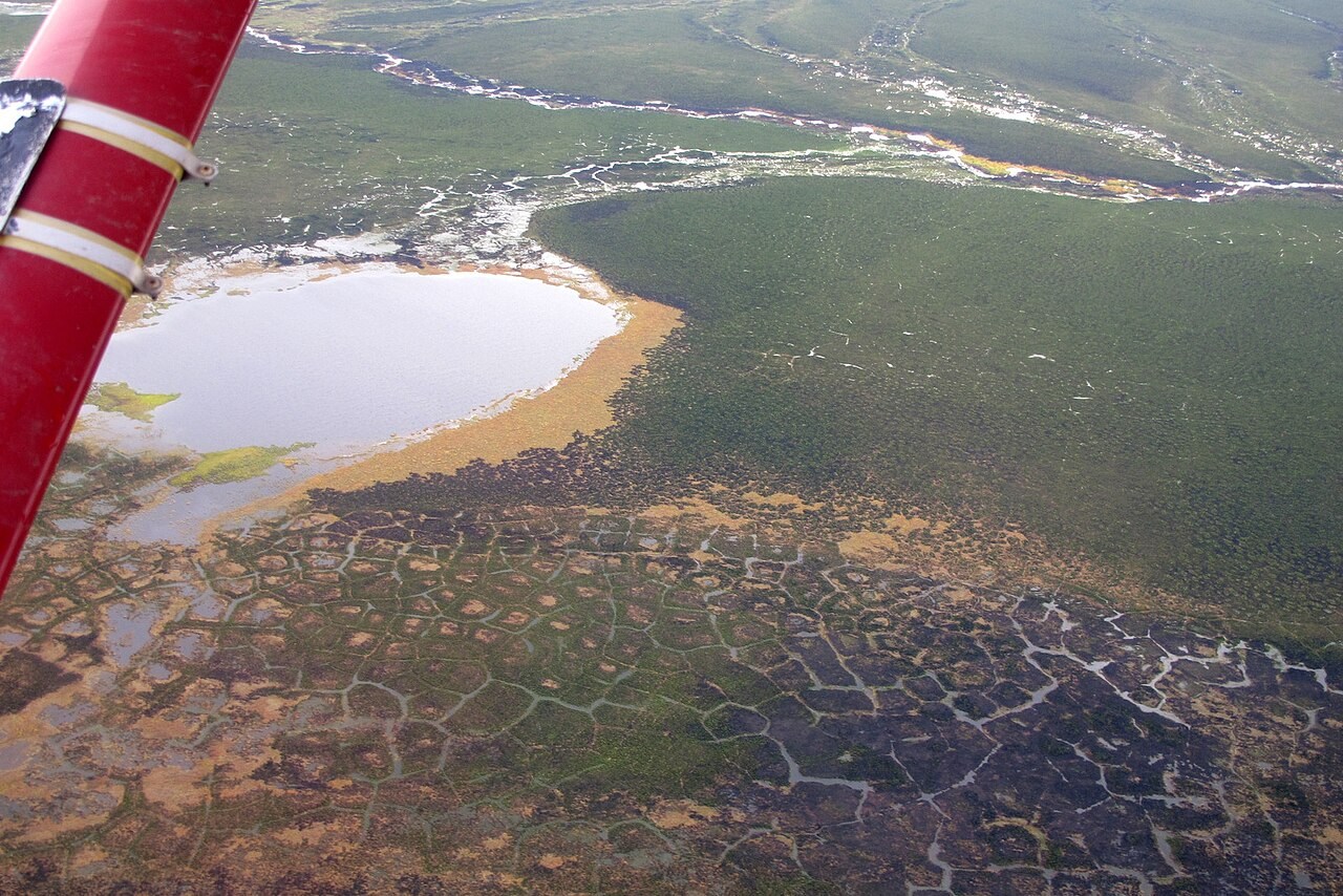
Landforms
Periglacial landforms
Permafrost is ground that remains at or below 0 °C for at least two years.
Explore the model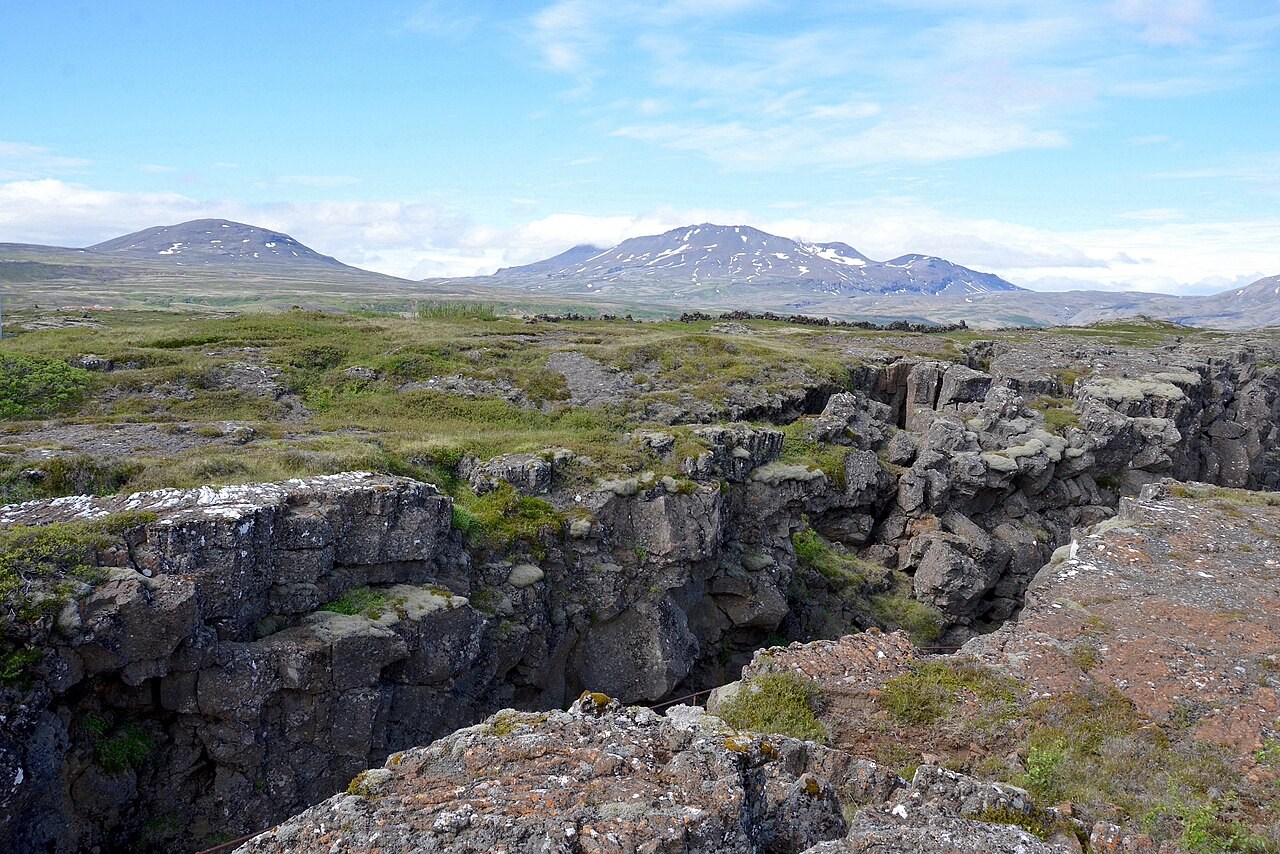
Interior & Plates
Plate boundaries
At divergent boundaries plates separate, at convergent boundaries they approach, and at transform boundaries they slide past.
Explore the model
Atmosphere
Rain shadow
Rising air expands and cools.
Explore the model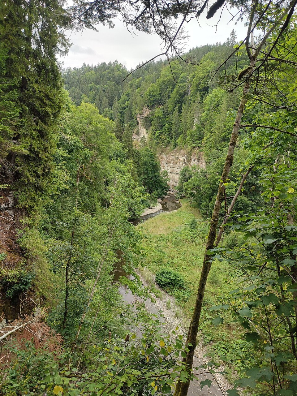
Landforms
River capture
Headward erosion can extend one river into a neighbouring basin and divert its headwaters.
Explore the model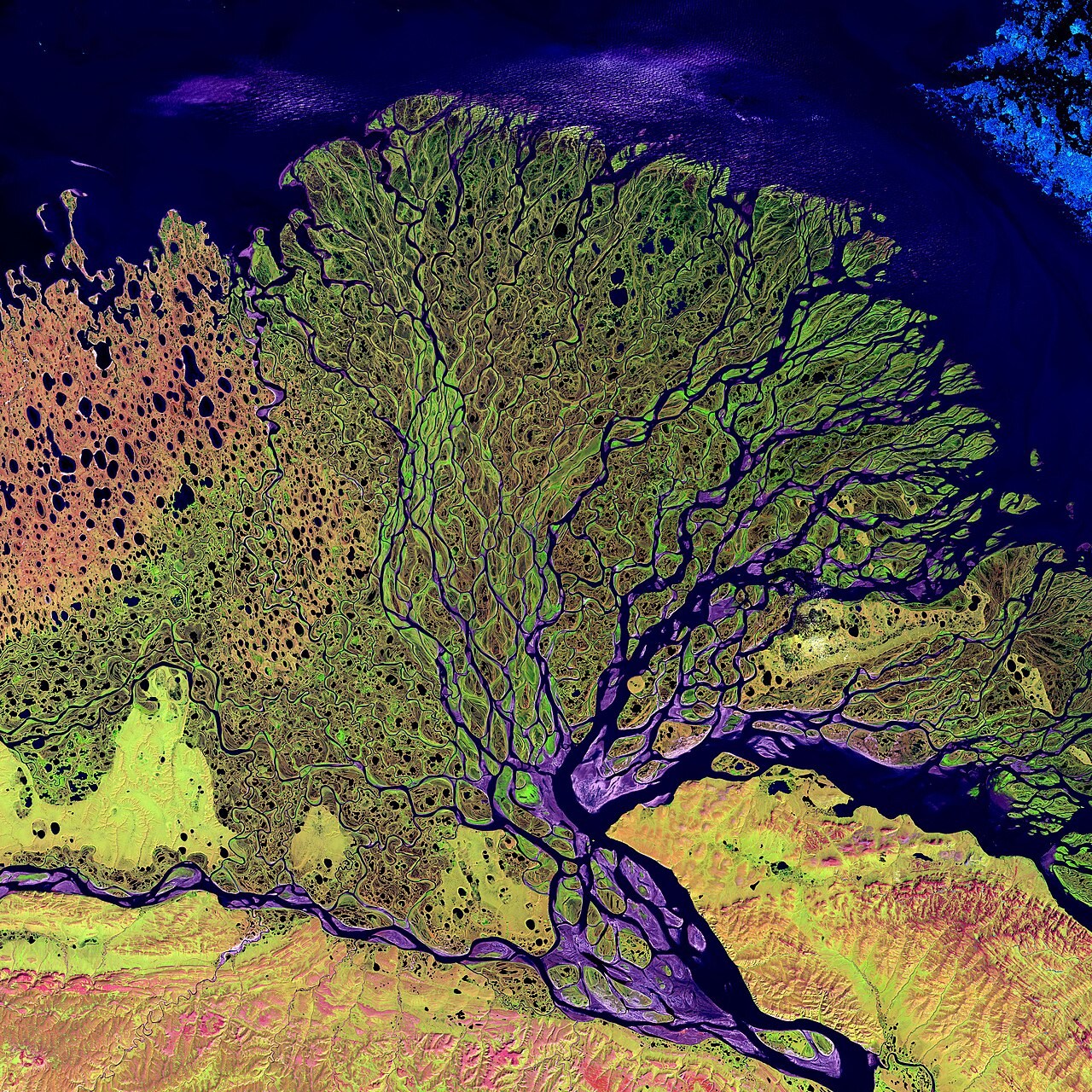
Landforms
River deposition
Sediment is deposited when transport conditions no longer keep it moving.
Explore the model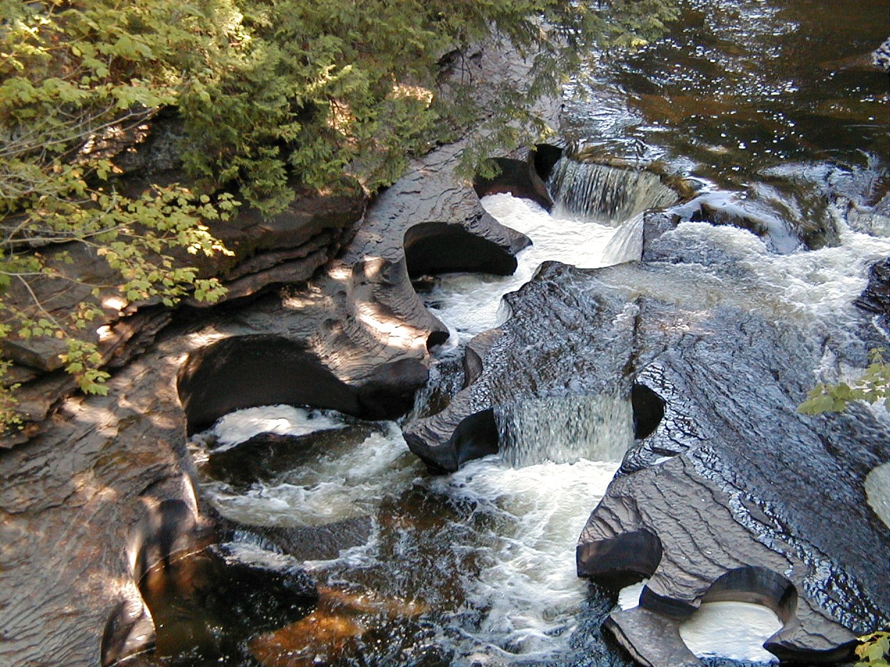
Landforms
River erosion
Flowing water can detach and transport material from a river’s bed and banks.
Explore the model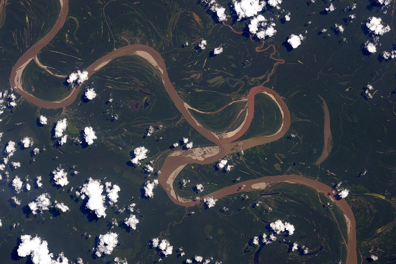
Landforms
River long profile
A river’s long profile usually becomes gentler downstream.
Explore the model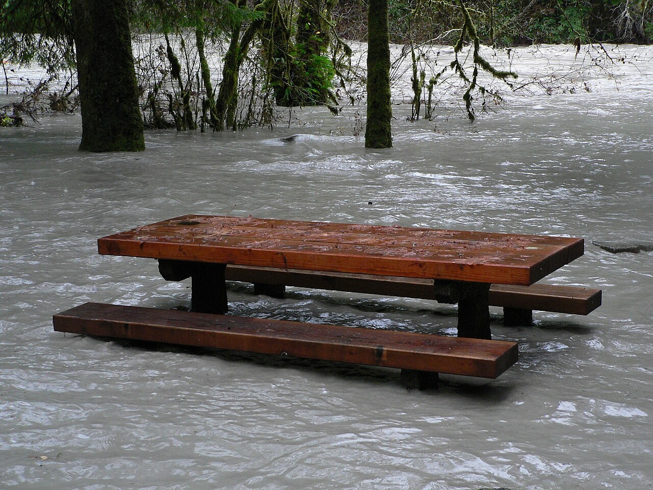
Water & Carbon
River regime
A river regime describes the seasonal pattern of discharge.
Explore the model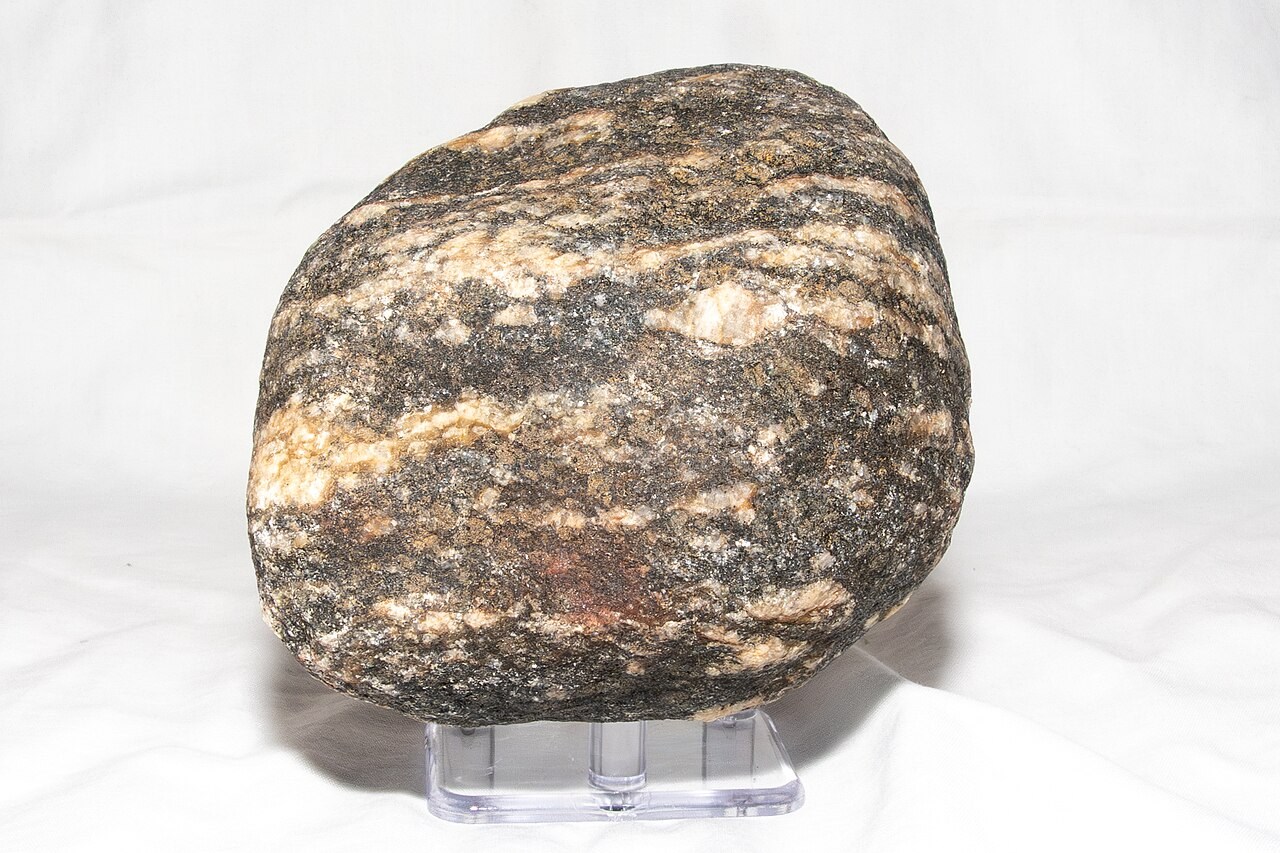
Soils & Rocks
Rock cycle
Rocks can change through melting, crystallisation, weathering, deposition, burial and metamorphism.
Explore the model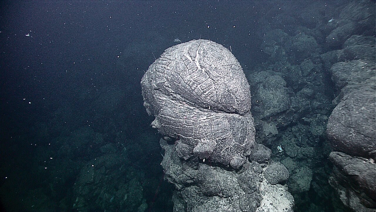
Interior & Plates
Seafloor spreading
New oceanic crust forms at a spreading ridge and moves away on both sides.
Explore the model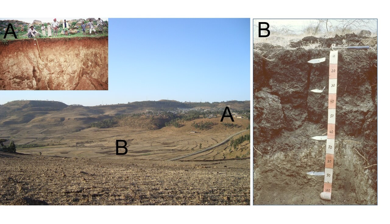
Soils & Rocks
Soil catena
Soils along a slope are linked by movement of water and sediment.
Explore the model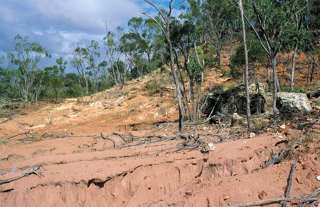
Soils & Rocks
Soil erosion
Raindrops and flowing water can detach and carry soil.
Explore the model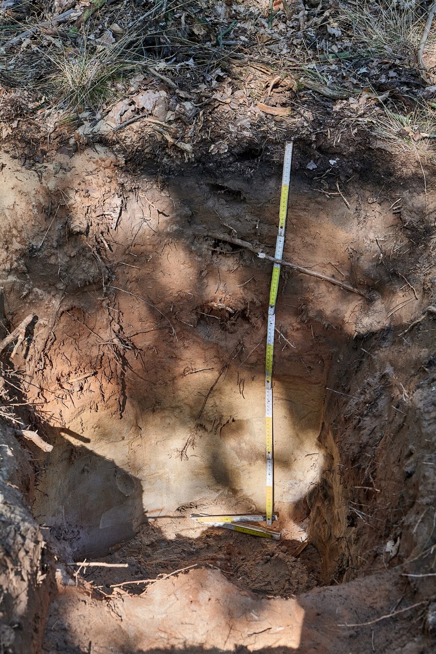
Soils & Rocks
Soil profile
A soil profile exposes horizons formed by organic inputs, weathering and material movement.
Explore the model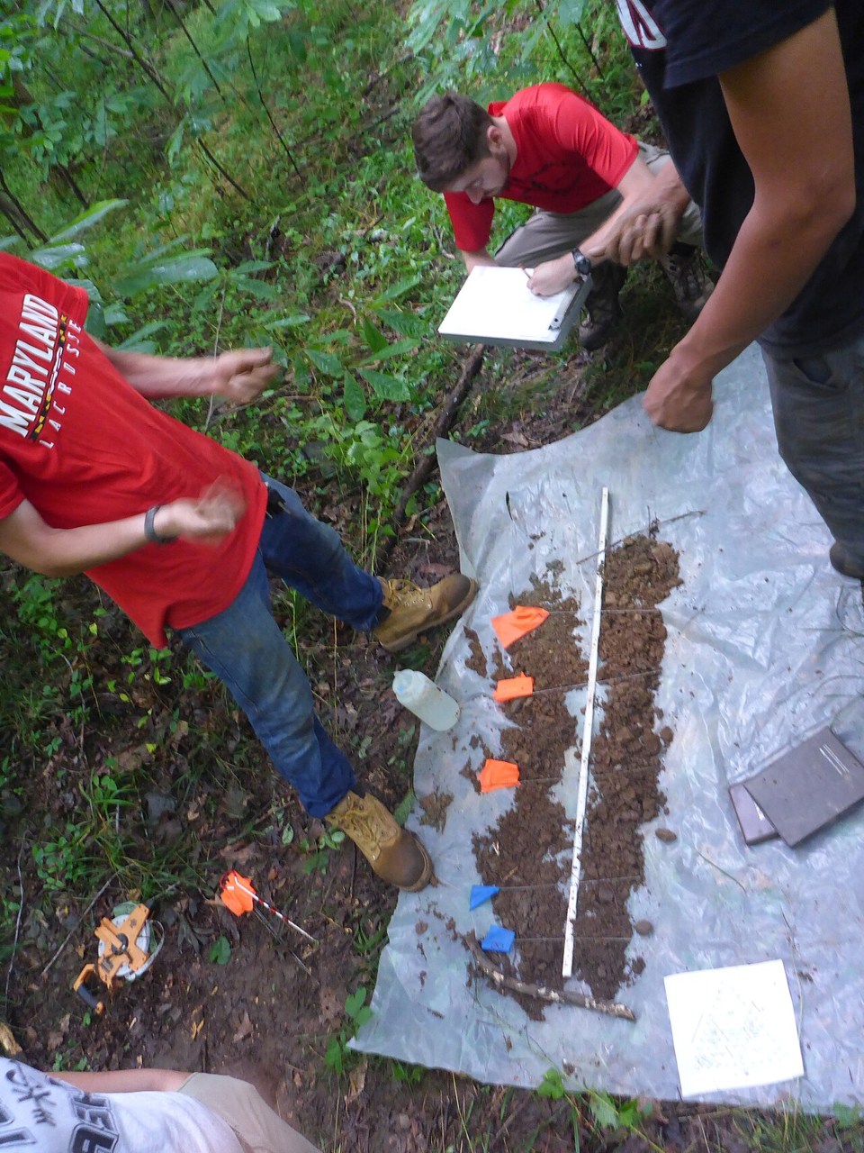
Soils & Rocks
Soil texture triangle
Soil texture describes the proportions of sand, silt and clay.
Explore the model
Planet
Solar altitude and sun path
Solar altitude is the Sun’s angle above the horizon.
Explore the model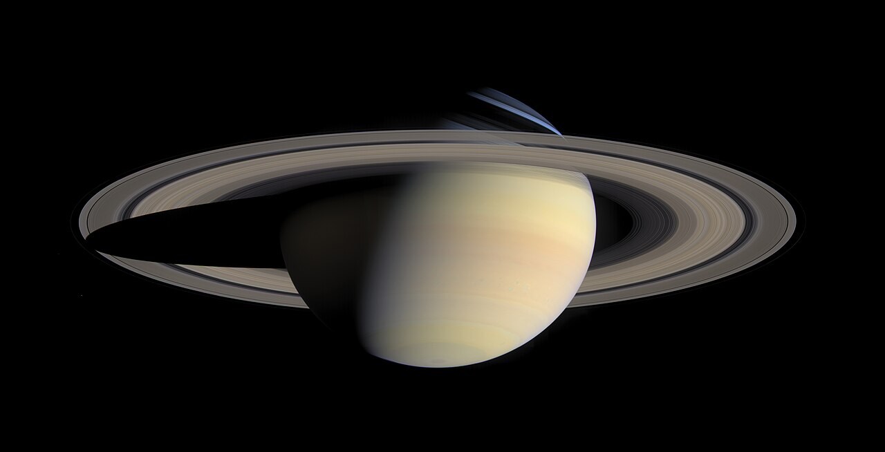
Planet
Solar system
Planets differ enormously in size, orbital distance and period.
Explore the model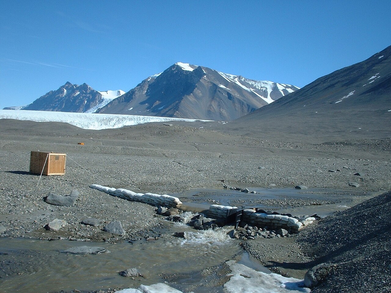
Water & Carbon
Storm hydrograph
A storm hydrograph shows how river discharge changes after rainfall.
Explore the model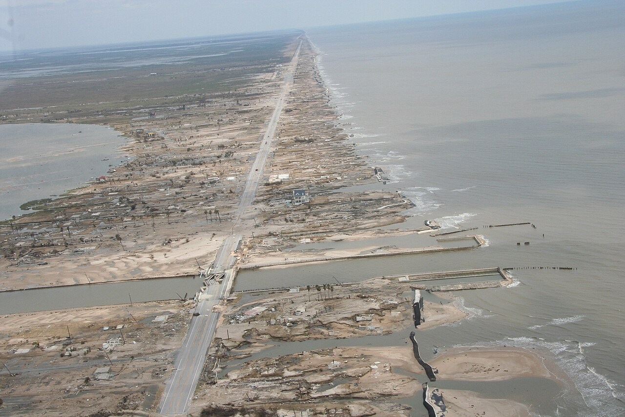
Hazards
Storm surge
Onshore winds push water towards the coast, while lower atmospheric pressure also raises the water surface.
Explore the model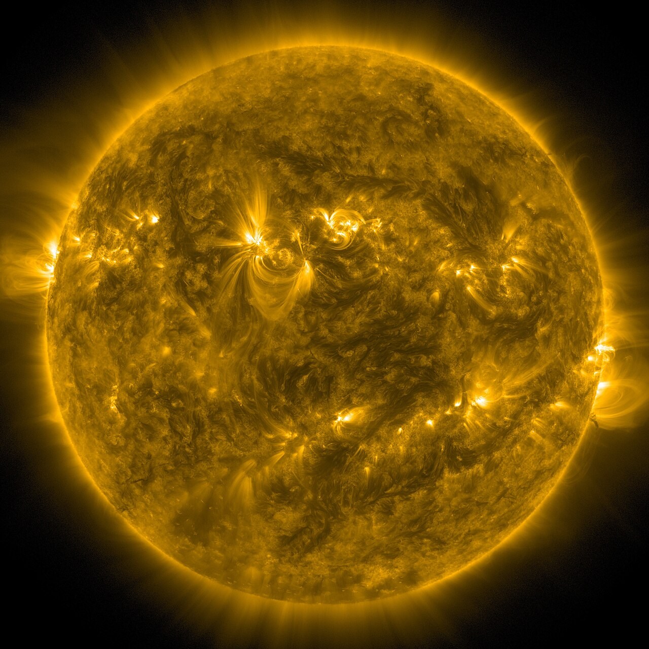
Planet
Sun and Earth
The same sunlight spreads across a larger area when it strikes a surface at a shallow angle.
Explore the model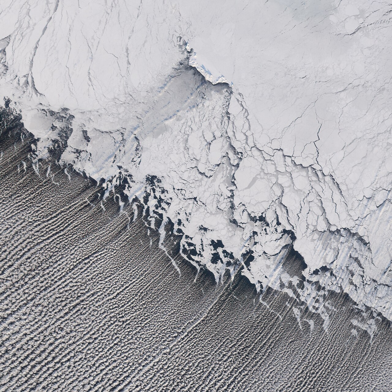
Atmosphere
Thermal circulation
Unequal heating can create pressure differences and a circulation.
Explore the model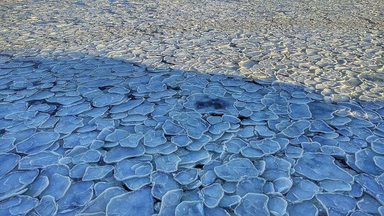
Water & Carbon
Thermohaline conveyor
Seawater density depends on temperature and salinity.
Explore the model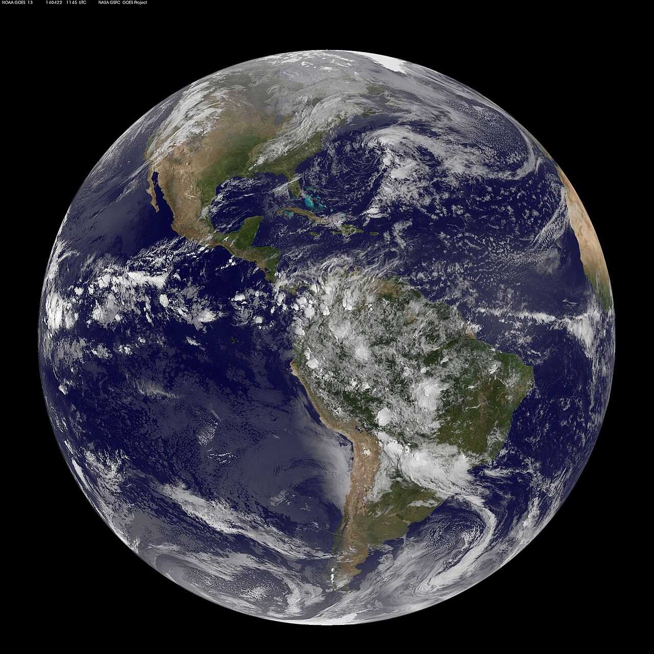
Atmosphere
Three-cell circulation
Unequal solar heating and Earth’s rotation organise broad atmospheric circulation.
Explore the model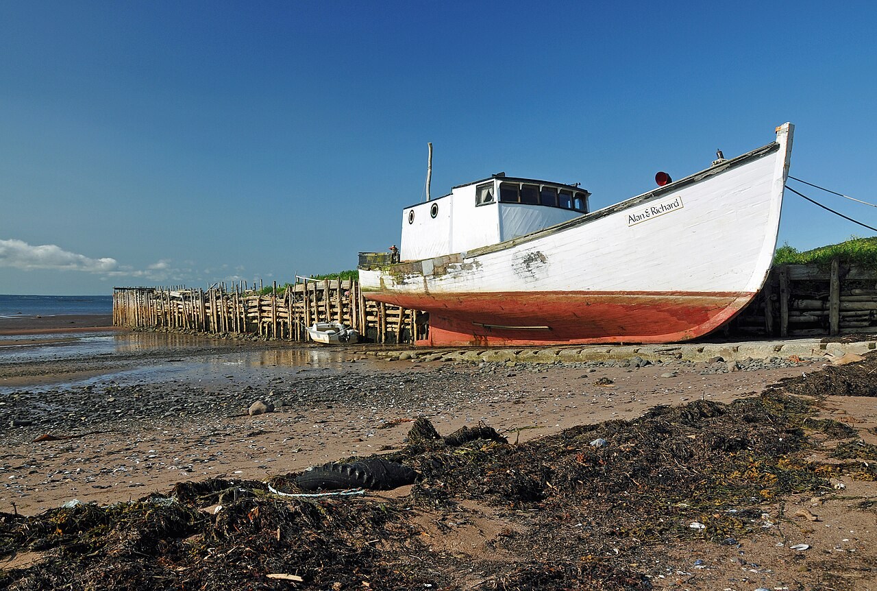
Planet
Tides
The Moon’s gravitational attraction varies across Earth, creating a tide-generating effect with two broad bulges.
Explore the model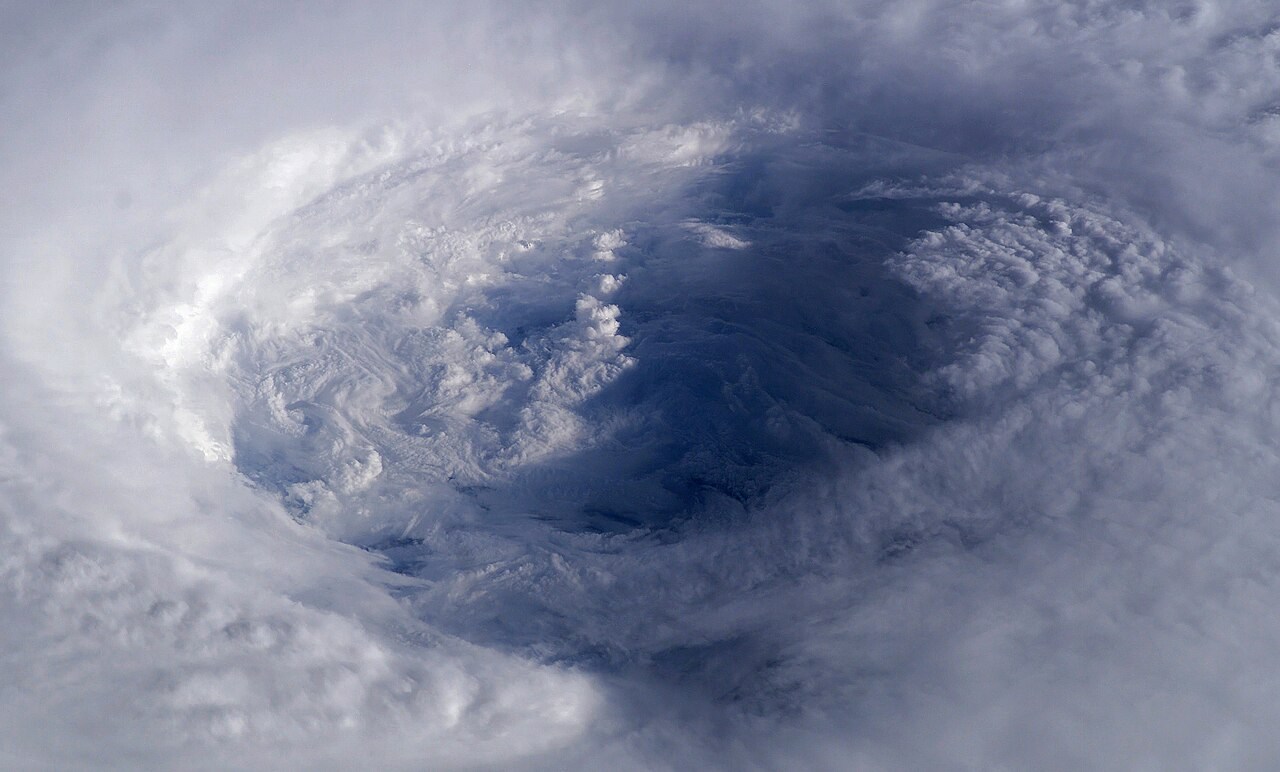
Hazards
Tropical cyclone
A tropical cyclone draws moist air inward near the surface, with strong ascent in the eyewall and outflow aloft.
Explore the model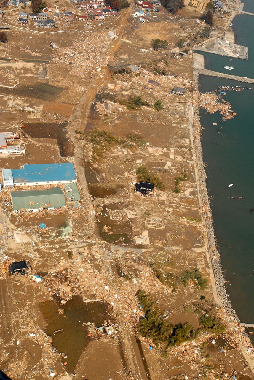
Hazards
Tsunami
A tsunami has a long wavelength and travels faster in deeper water.
Explore the model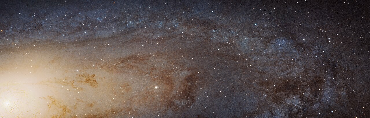
Planet
Universe scale
Distances within the Solar System are commonly measured in astronomical units; distances between stars are more conveniently measured in light-years.
Explore the model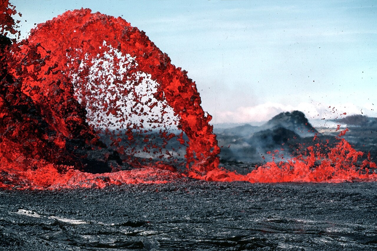
Hazards
Volcanoes
Magma composition, gas content and the conditions of ascent influence eruption style.
Explore the model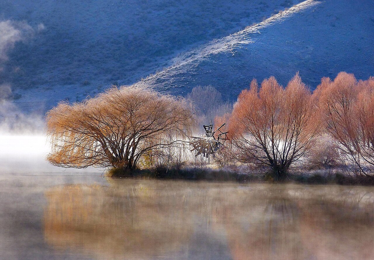
Water & Carbon
Water cycle stores and flows
Water moves between the atmosphere, land and ocean through evaporation, precipitation and flows at and below the surface.
Explore the model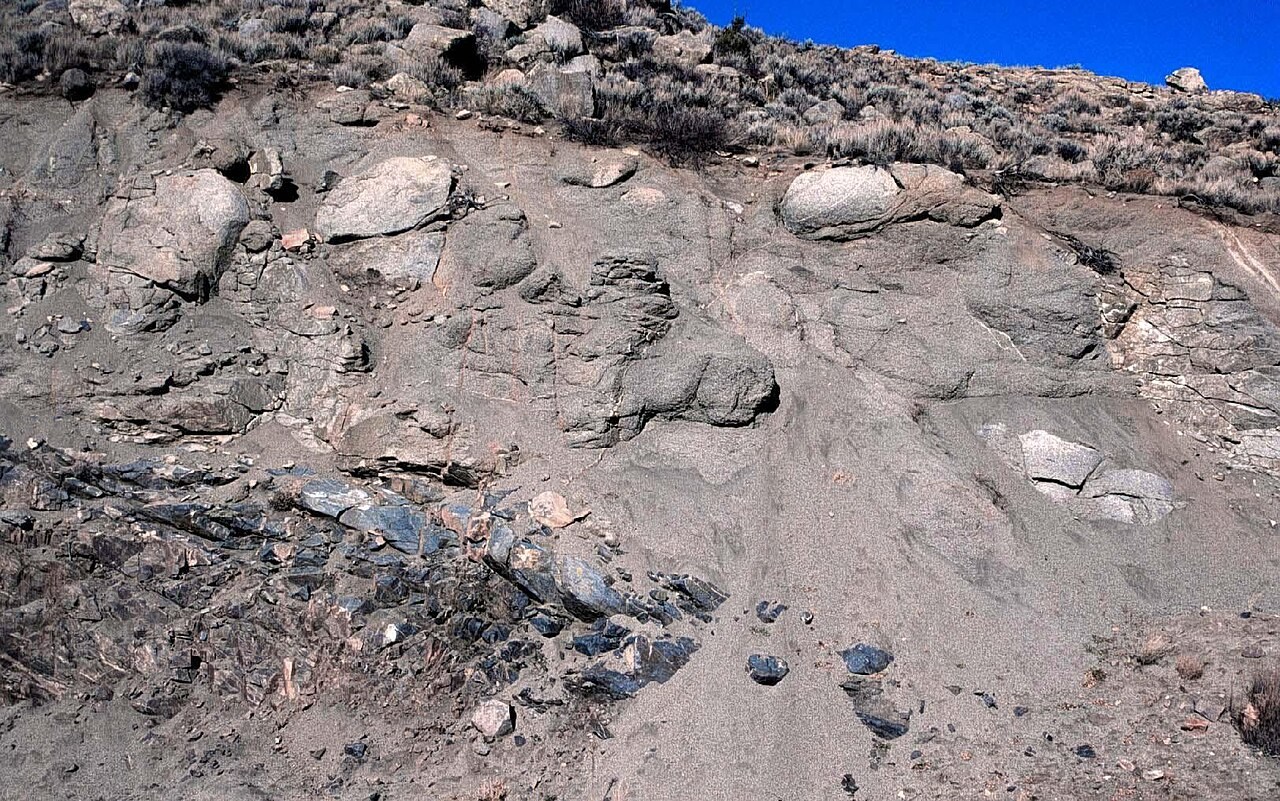
Soils & Rocks
Weathering
Weathering changes rock in place.
Explore the model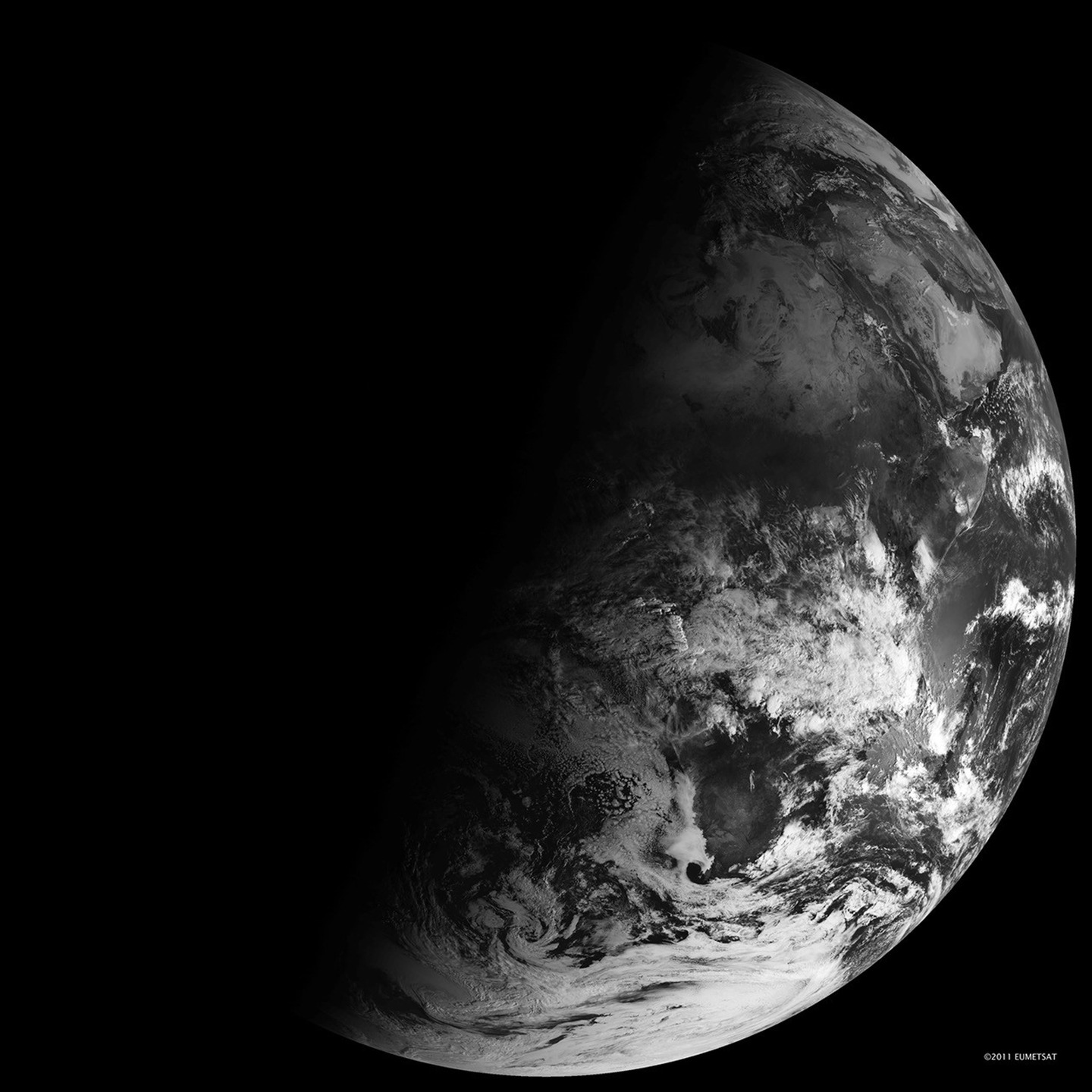
Planet
Why seasons happen
Earth’s tilted axis changes the angle of sunlight and the length of the day as Earth travels around the Sun.
Explore the model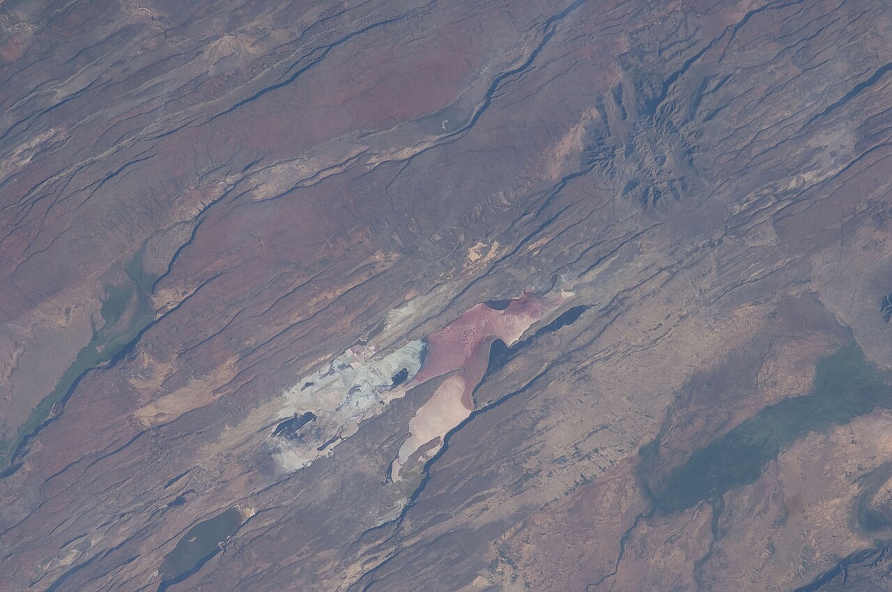
Interior & Plates
Wilson cycle
Continental rifting can open an ocean basin, while subduction can later consume oceanic lithosphere and bring continents together.
Explore the model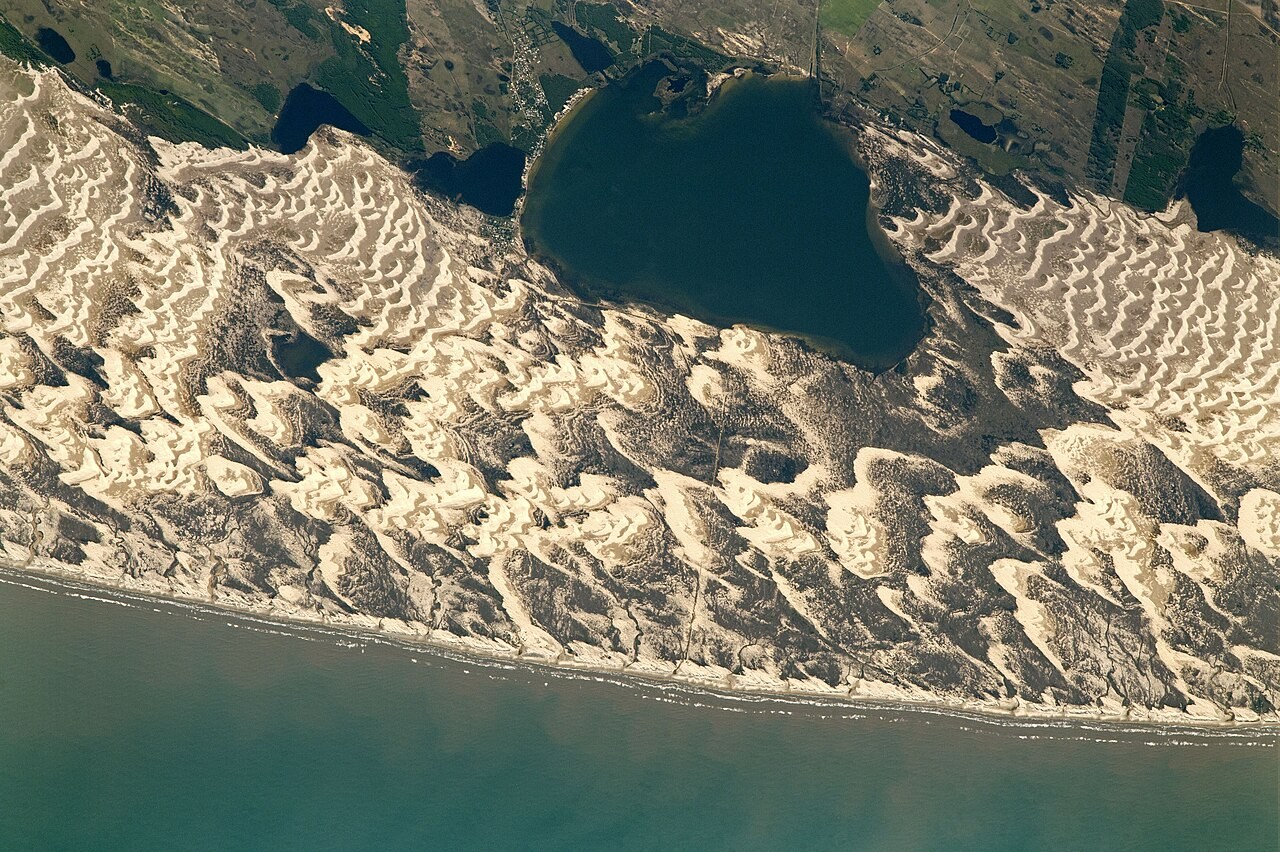
Landforms
Wind landforms
Wind transports particles by suspension, saltation and surface creep.
Explore the model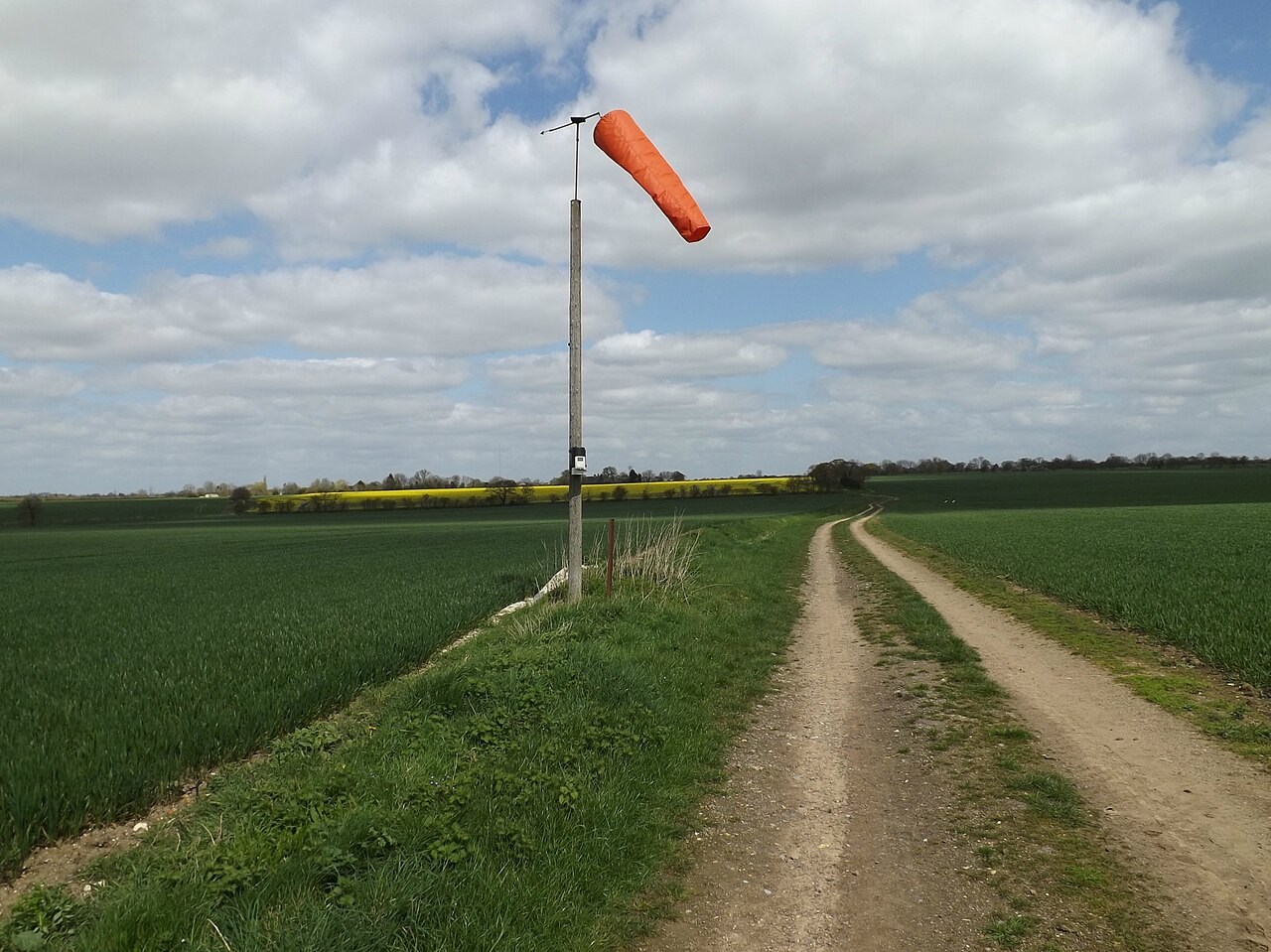
Atmosphere
Wind, PGF and Coriolis
Air accelerates in response to pressure differences.
Explore the model