Loading photograph
Preparing the 3D view
Preparing lighting and the first complete frame…
Model scale
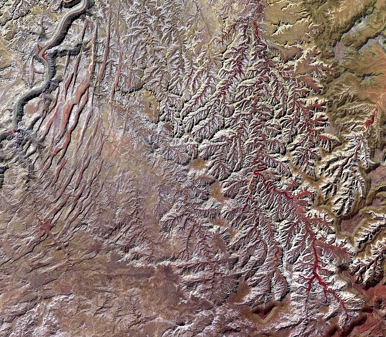
Idealised surface catchment. relief, channels and vegetation enlarged.
Source. The beginning of this channel. Real headwaters can be springs, wet ground, snow or glacier melt. Gold follows the surface divide; the whole enclosed land area contributes, not just the blue channel. Groundwater divides may differ.
Drainage basin
Trace water through a drainage basin and explain how the watershed connects the tributaries to a shared outlet.
Drag to rotate. Hold Ctrl and scroll to zoom, or pinch on a touch screen.