Case study US
Mississippi and delta
Lower Mississippi
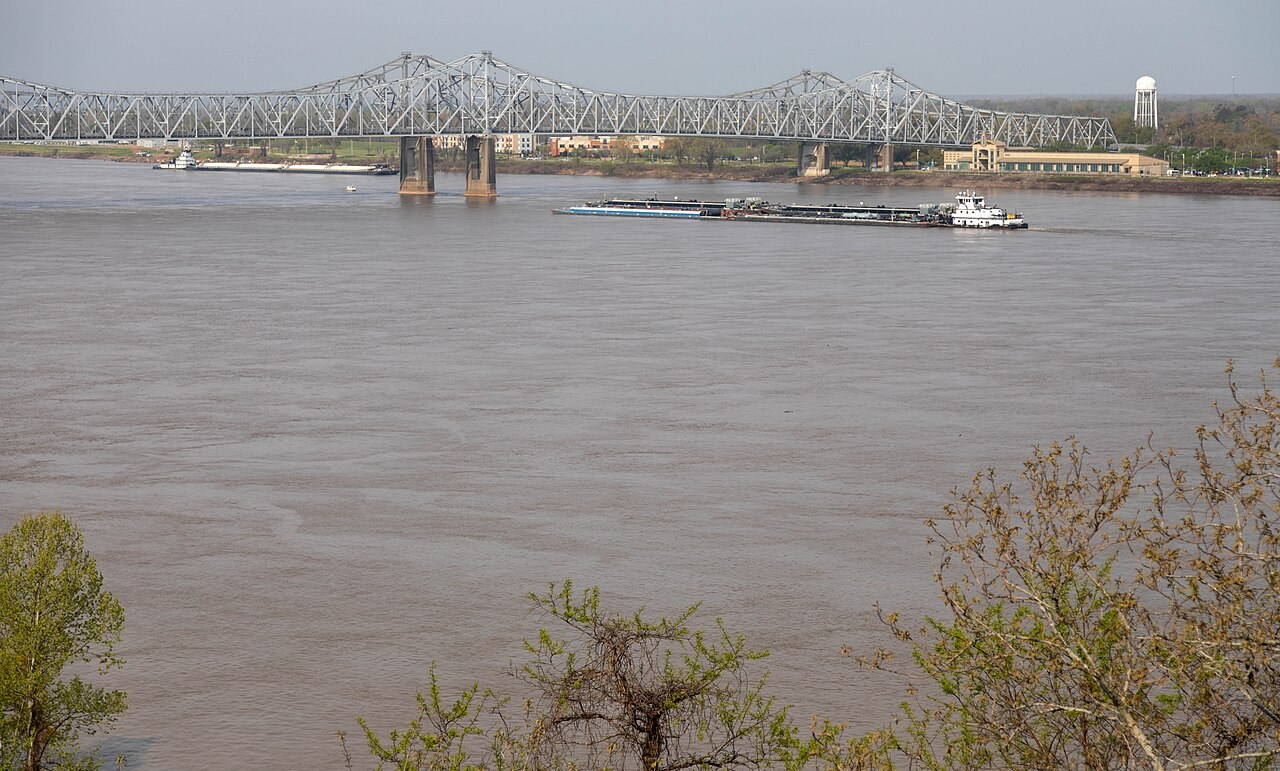
The lower Mississippi transports water and sediment into a delta shaped by deposition, subsidence and the sea. Engineering changes where that sediment can accumulate.
Preparing map style and visible tiles…
Location: 29.15°, -89.25°
Meanders, floodplains and natural levees record repeated erosion and deposition along the lower river. At the coast, sediment delivered through distributary channels builds delta land where accumulation can keep pace with the processes that remove or submerge it.
Levees and river-management works alter floodwater and sediment routes. Compare a river-built delta with a tidal estuary, then use the deposition model to examine the balance between sediment input, redistribution and changing water level.
Exam-style question
Explain why the Mississippi can maintain a bird-foot delta while many UK rivers end in estuaries.
Teacher hint: Consider river sediment supply alongside tides, waves and subsidence. Delta growth requires deposition to keep pace with losses and relative sea-level change.
Sources
- USGS Mississippi River
- USACE Mississippi River & Tributaries