Loading photograph
Preparing the 3D view
Preparing lighting and the first complete frame…
Model scale
Geographic globe. current routes schematic. widths and tracers enlarged.
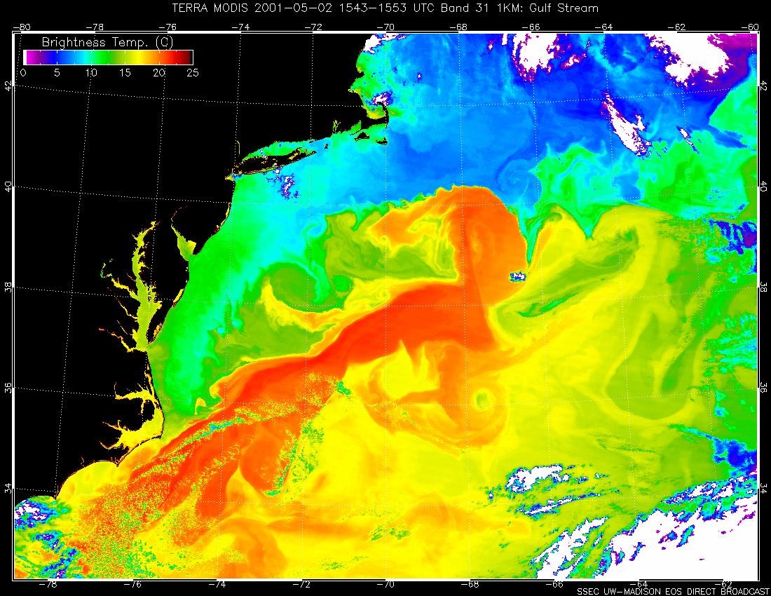
Gulf Stream: warmer poleward western boundary (amber). Canary Current: cooler equatorward eastern boundary (blue). Grey connects the branches.
How to read these results
Viewed on a map, northern subtropical gyres turn clockwise and southern ones anticlockwise. Play shows direction only. UK winters reflect westerlies, ocean heat and geography together; the Gulf Stream is one contribution.
Ocean currents
Follow the major surface currents and explain how winds and ocean heat transport contribute to regional climate.
Drag to rotate. Hold Ctrl and scroll to zoom, or pinch on a touch screen.