Case study UK
Holderness coast
East Yorkshire
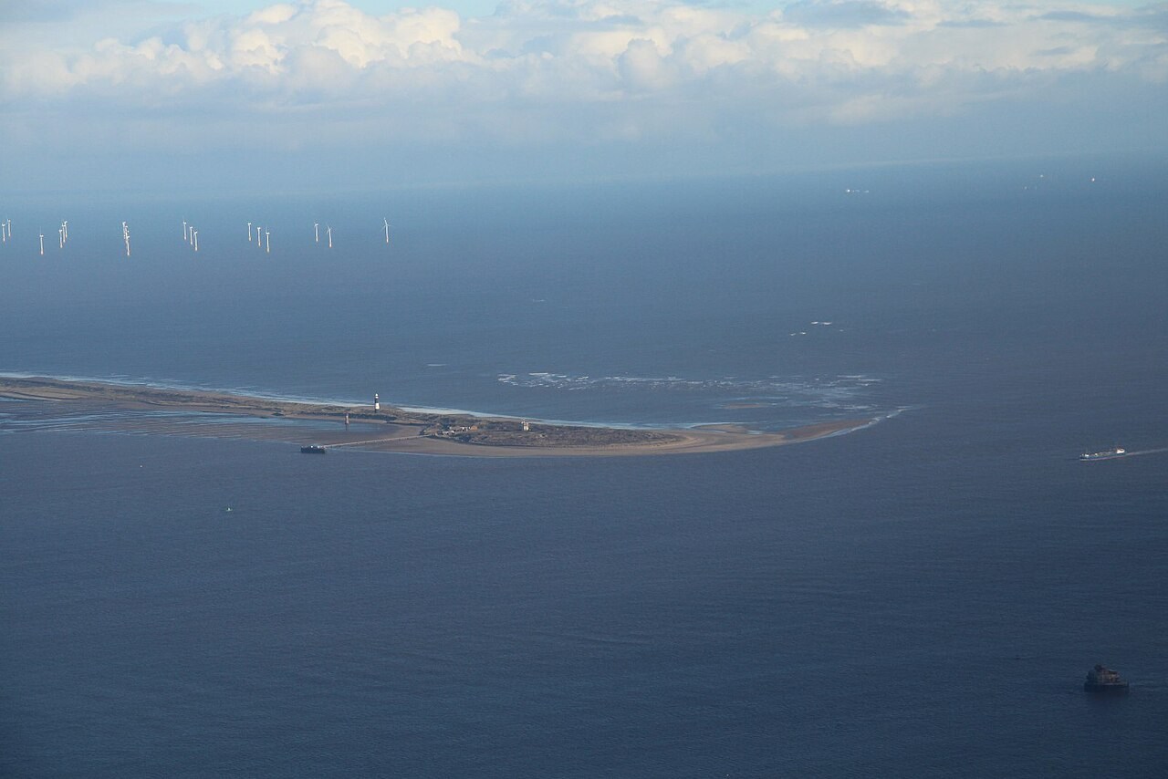
Waves erode the soft glacial till cliffs of Holderness, while longshore drift carries sediment south towards Spurn. Coastal defences change how that sediment is shared along the shore.
Preparing map style and visible tiles…
Location: 53.73°, -0.05°
Holderness cliffs are largely made of glacial till rather than hard, well-cemented rock. Wave erosion at the foot combines with weathering and slope failure above. Retreat varies along the coast and through time, so a single average rate cannot describe every cliff or storm season.
Waves approaching obliquely move sediment alongshore. Groynes can retain material on their up-drift side while reducing supply farther down the coast. Use the coasts model to trace this transfer, then locate Mappleton and Spurn to discuss how a local defence affects the wider sediment budget.
Exam-style question
Explain how longshore drift and groynes together change the sediment budget of Holderness, using Mappleton and Spurn Head.
Teacher hint: Trace southward sediment movement, explain trapping up-drift of groynes, and consider the resulting supply to down-drift beaches and Spurn.
Process labs
Sources
- BGS — Holderness coastal erosion
- East Riding of Yorkshire coastal monitoring
- Environment Agency shoreline management