Loading photograph
Preparing the 3D view
Preparing lighting and the first complete frame…
Model scale
Relief ×2.5. same hill and contour vertices. T restores equal horizontal / vertical scale.
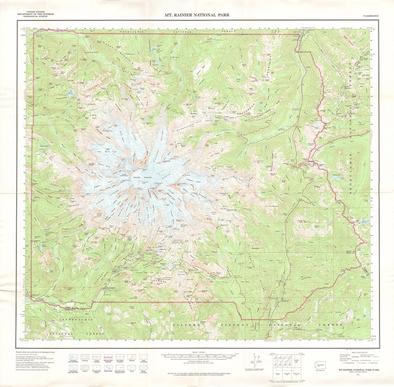
Contour interval 10 m · spot 89.4 m. Click the hill to check a height. Turn off “3D hill” and look from above for its contour map; the elevations stay the same.
Contours ↔ 3D terrain
Relate contour spacing and shape to the height and slope of a landscape, then distinguish a valley from a spur.
Drag to rotate. Hold Ctrl and scroll to zoom, or pinch on a touch screen.
Adjust parameters