Case study US
Yosemite Valley rim
Sierra Nevada
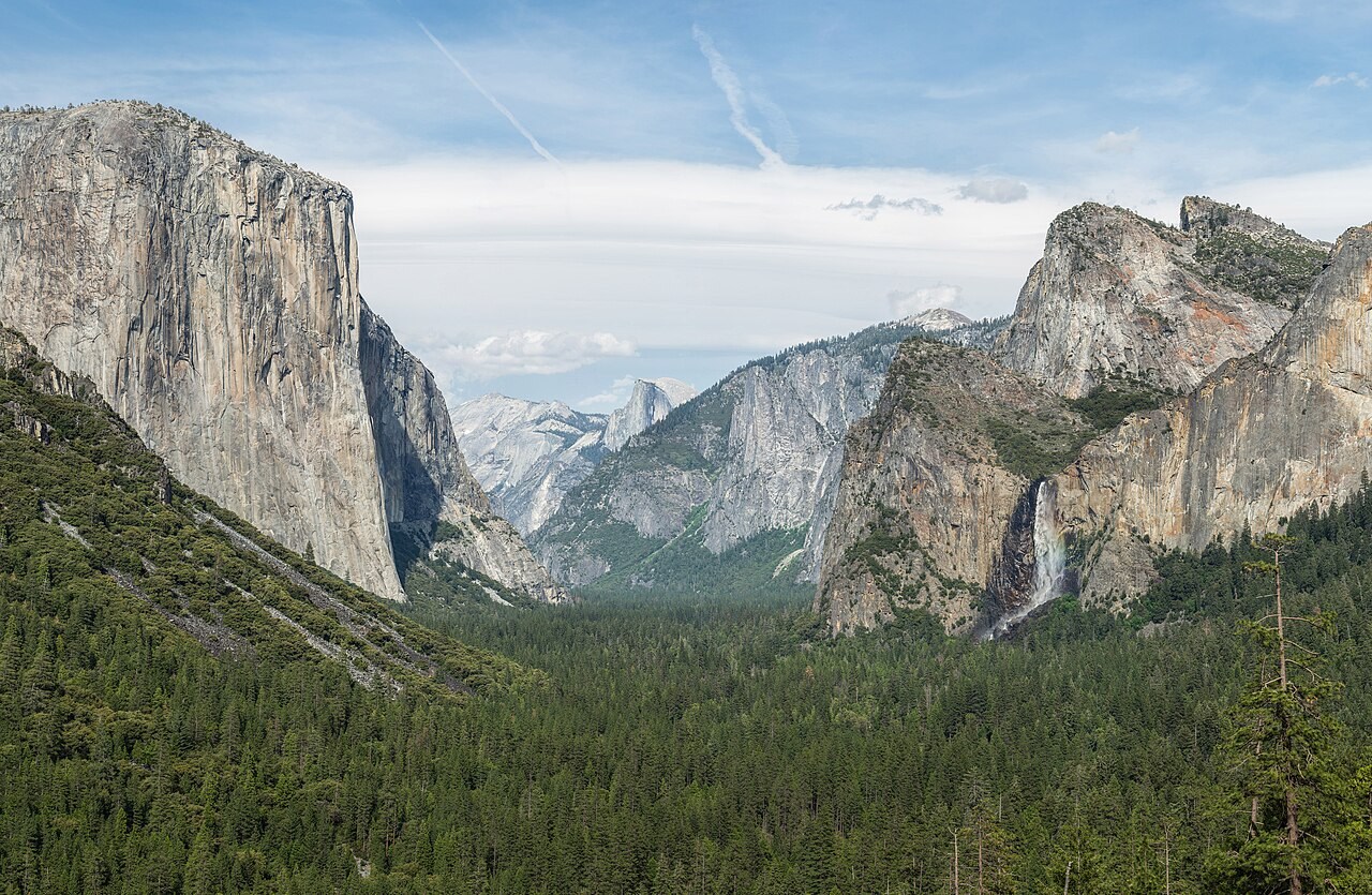
Yosemite Valley shows how glaciers can widen and deepen a pre-existing river valley. Its steep walls and hanging tributaries help connect landforms with contour maps.
Preparing map style and visible tiles…
Location: 37.74°, -119.57°
River erosion established a valley before glaciers enlarged it into a broad trough. The main glacier eroded more deeply than smaller tributary glaciers in places, leaving hanging valleys from which waterfalls now descend.
Compare the valley’s broad floor with its steep sides, then inspect how these differences appear in contour spacing. The present river continues to modify the floor, so its channel should not be confused with the scale of the entire glacial valley.
Exam-style question
How would a contour map distinguish Yosemite Valley from a V-shaped river gorge of similar depth?
Teacher hint: Identify a wide floor, steep walls and hanging tributaries in a glacial trough, then compare these with the contours of a narrower river valley.
Sources
- USGS / NPS Yosemite