Case study UK
Snowdonia / Eryri
North Wales
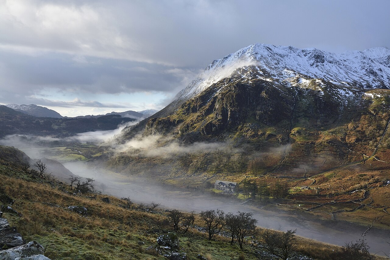
The cirques and ridges of Eryri make contour patterns easier to understand. Compare a mapped slope with the landform that gives the lines their shape.
Preparing map style and visible tiles…
Location: 53.07°, -4.08°
Glacial erosion helped shape the cirques, sharp ridges and deep valleys around Yr Wyddfa. Contours turn these three-dimensional forms into lines of equal elevation. Closely spaced lines indicate steep slopes; their pattern helps distinguish a hollow from a projecting ridge.
Use the contours model to rotate a hill before viewing it from above. Ask students to predict the lines around a cirque and a spur, then compare their sketches with a map of Eryri. Check the map’s stated interval before calculating heights.
Exam-style question
On an OS-style extract of Yr Wyddfa, how would you distinguish a cirque from a spur using contours alone?
Teacher hint: Look for a hollow enclosed by steep backwalls at a cirque, and contour bends pointing downhill along a spur.
Process labs
Sources
- Ordnance Survey
- BGS Wales