Loading photograph
Preparing the 3D view
Preparing lighting and the first complete frame…
Model scale
Soil thickness ×20. 120 m hillslope. topographic slope to scale.
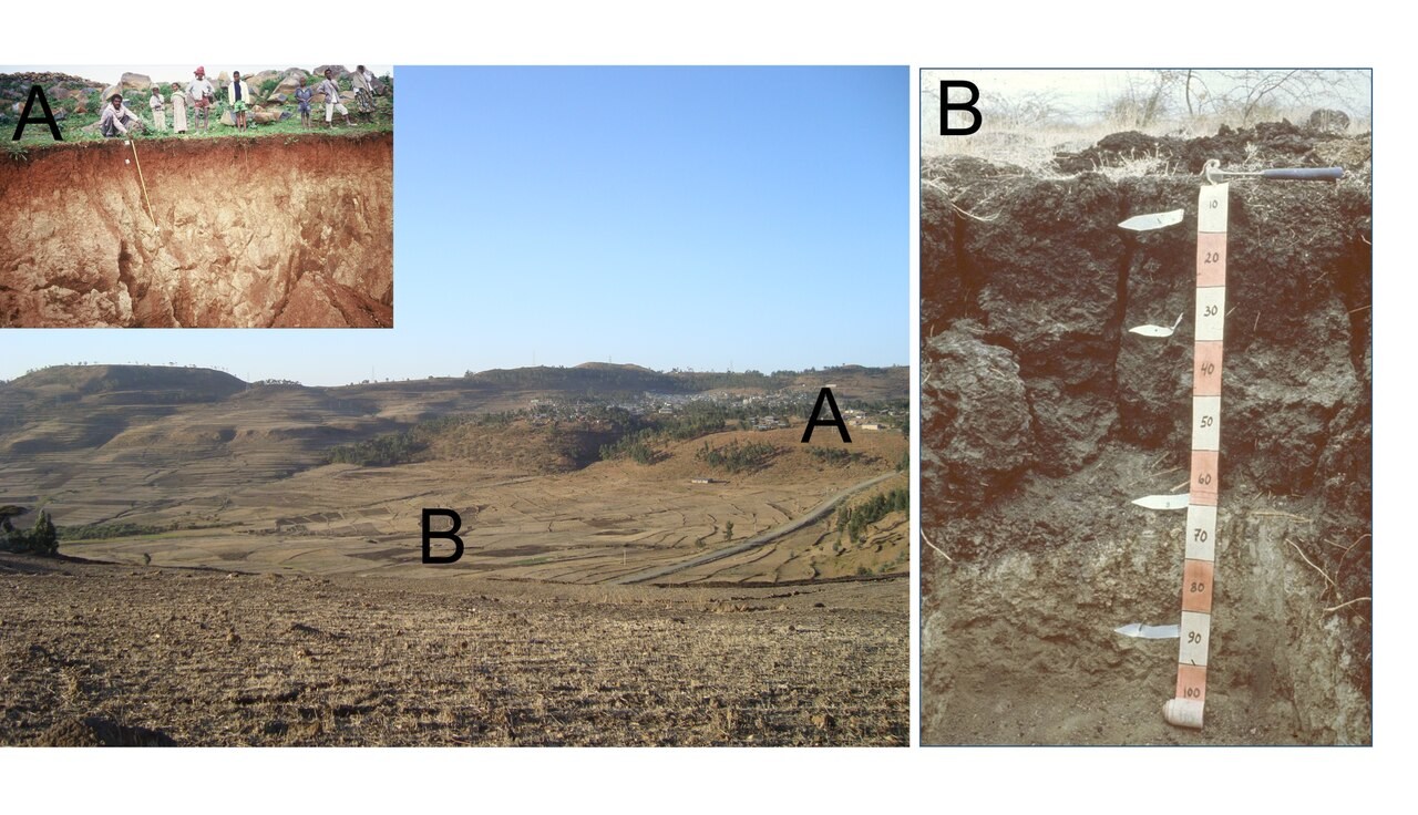
Soils share the same parent material, but their position on the slope changes drainage and sediment movement: the crest and backslope lose material, while the toe receives water and sediment.
How to read these results
Change Slope to compare a prescribed sequence. Only soil thickness is enlarged in the teaching view. Soil development, erosion and deposition rates are not calculated.
Soil catena
Compare soil profiles from the crest to the foot of a slope and explain how water and sediment movement connect them.
Drag to rotate. Hold Ctrl and scroll to zoom, or pinch on a touch screen.
Adjust parameters