Case study UK
Yorkshire Dales karst
North Yorkshire
Water dissolves and drains through the limestone of the Yorkshire Dales, connecting surface pavements, sinking streams and underground caves.
Preparing map style and visible tiles…
Location: 54.15°, -2.15°
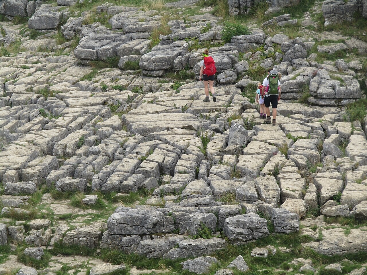
Rainwater takes up carbon dioxide and becomes weakly acidic. As it moves through joints in limestone it dissolves calcite, enlarging fissures and underground passages. At the surface, clints and grykes form the characteristic pattern of a limestone pavement.
A stream entering a swallow hole may reappear at a spring elsewhere. Its underground catchment need not follow the surface drainage divide. Use the karst model to trace a possible route and discuss why dye tracing is useful for testing it.
Exam-style question
Explain how a swallow hole forms and what it implies for the drainage network on Carboniferous limestone.
Teacher hint: Connect carbonation along joints with underground drainage, and explain why a surface watershed may not match the groundwater catchment.
Process labs
Sources
- BGS — Yorkshire Dales karst
- Natural England / Malham