Loading photograph
Preparing the 3D view
Preparing lighting and the first complete frame…
Model scale
Cloud height ×5. max-wind radius 30 km. ocean domain radius 300 km.
Maximum tangential wind 62.0 m/s · ideal centre 966 hPa. Northern: anticlockwise viewed from above.
How to read these results
Slice opens the structure. Cloud fragments and tracers follow two hours of a steady ideal vortex; arrows illustrate inflow, ascent and outflow. No intensity evolution, rainfall, track or landfall forecast.
Tropical cyclone
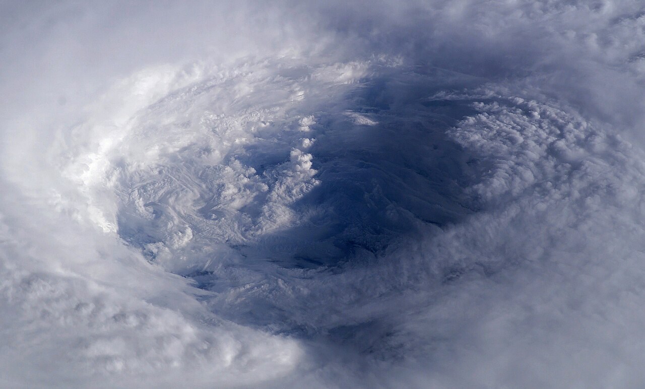
Identify the eye, eyewall and rainbands of a tropical cyclone and explain how warm ocean water supports its circulation.
Drag to rotate. Hold Ctrl and scroll to zoom, or pinch on a touch screen.