Case study US
Katrina and Sandy
New Orleans and the New York Bight
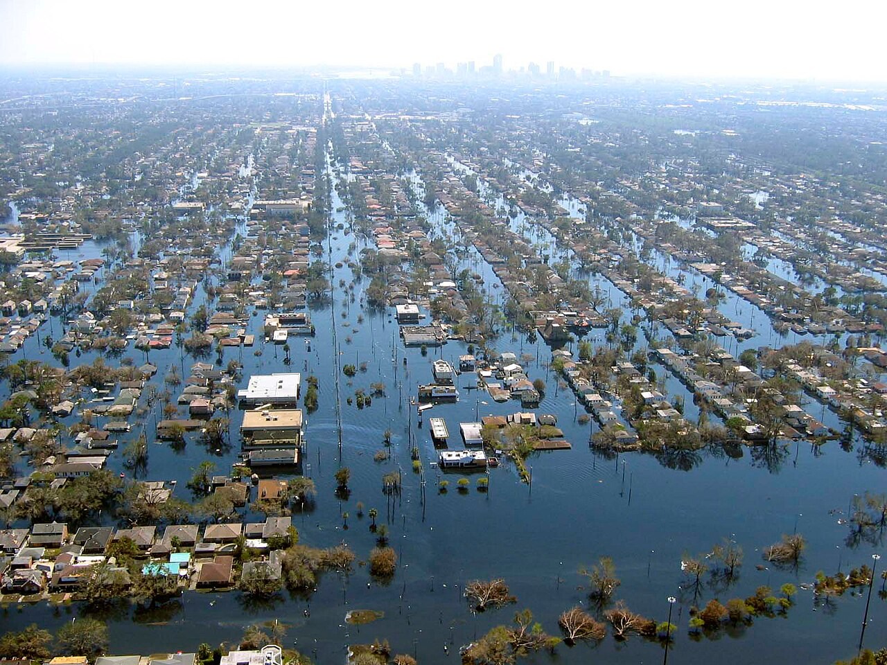
Katrina and Sandy affected different coastal settings, but both show how storm winds can raise water levels. Coastal shape, tides and defences influenced the resulting floods.
Preparing map style and visible tiles…
Location: 29.95°, -90.07°
Storm surge is the rise above the expected tide caused mainly by wind stress and atmospheric pressure. Water levels at the shore also depend on waves, tidal timing and the shape and depth of the coast. A wind category alone does not describe the full flood threat.
Katrina’s flooding around New Orleans and Sandy’s impacts around New York require attention to their different settings and storm histories. Sandy underwent extratropical transition near landfall. Use the surge model to compare coastal geometry without treating either event as a generic tropical-cyclone replay.
Exam-style question
Distinguish storm surge from river flooding in the Katrina disaster, and say which lab models the cyclone itself.
Teacher hint: Separate surge, waves, tide and river inputs. Explain how they combine with local coastal geometry and flood defences.
Process labs
Sources
- NOAA / NHC Katrina and Sandy reports
- USGS surge and high-water marks