Case study East Asia
Typhoon Mangkhut
Hong Kong, Macau and the Pearl River Delta
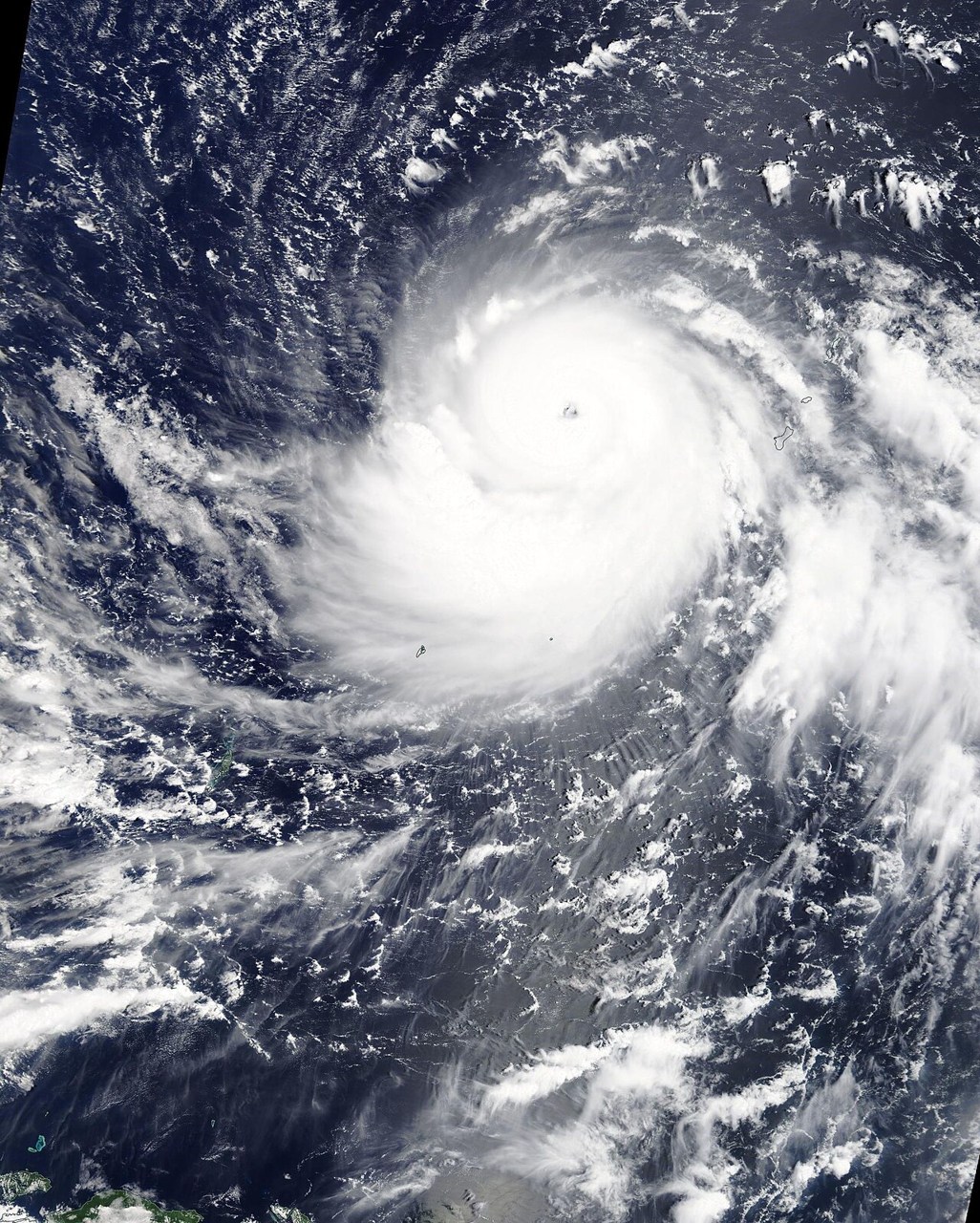
Typhoon Mangkhut illustrates the combined effects of wind, heavy rain and coastal water rise. A typhoon belongs to the same storm family as an Atlantic hurricane.
Preparing map style and visible tiles…
Location: 22.20°, 113.55°
Regional naming differs, but a typhoon is a tropical cyclone with an organised warm-core circulation. Its winds can drive water towards the coast while low pressure, tides and waves contribute to water levels. Heavy rain creates an additional source of flooding.
Compare the tropical-cyclone and surge models, then locate the Pearl River Delta’s low-lying coasts. Mangkhut and Katrina share physical processes, but their tracks, coastal geometry and local impacts must be evaluated separately.
Exam-style question
Using the warm-core engine, explain why Mangkhut and Katrina are the same class of storm despite different names.
Teacher hint: Explain the shared tropical-cyclone physics behind the regional names, then connect storm winds and coastal geometry with surge.
Process labs
Sources
- HKO — Super Typhoon Mangkhut
- NOAA — hurricane vs typhoon