Geolens is a free collection of interactive 3D models for learning geography and Earth science. Students can examine a process from different angles, change its conditions and connect what they see to a real landscape.
Teachers and school geography clubs can use the models alongside teaching notes, case studies and questions for discussion. All resources are available without an account, advertising or a paywall.
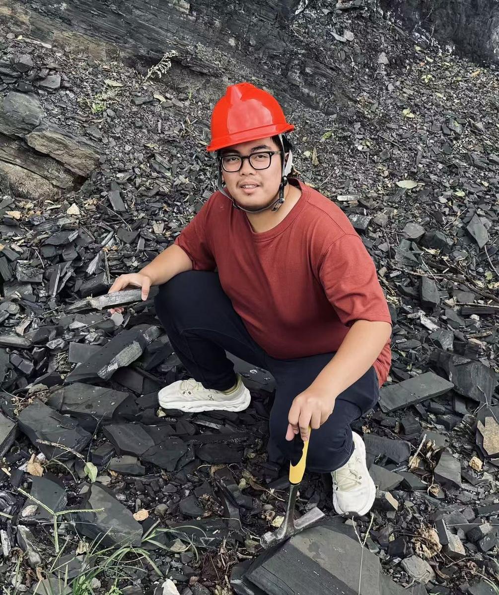
Creator and educator
Li Zeyu
Earth science educator and science communication enthusiast
Li Zeyu is the founder and president of the geography club at Shanghai Pinghe School and a member of the IB Class of 2028. Through Geolens, he works to make Earth processes easier for students to investigate and explain.
As a student docent at the Shanghai Natural History Museum, he also takes part in sharing science with museum visitors. Geolens brings this interest in education and public science communication into a resource that students, teachers and geography clubs can use together.
The site connects interactive models with explanations, photographs and teaching prompts, so that an unfamiliar process can become something a learner can investigate and describe.
Using Geolens in a lesson
Begin with something students can observe, then use a model to test their explanation. Curriculum filters help teachers find relevant topics, and the teaching notes offer prompts that can be adapted for class or a geography club meeting.
Browse teaching resources →Sources and reuse
The labs draw on resources from NASA, USGS, the British Geological Survey, NOAA and the Met Office. Original models, text and diagrams are shared under CC BY-NC 4.0, so they can be used for non-commercial teaching with attribution.
Photographs and datasets retain their own credits and licences. Image credits collects those details in one place. Read our privacy information for details about external maps, weather and video services.