Case study US
Cascadia subduction zone
Pacific Northwest
Cascadia links an offshore subduction zone with earthquakes, tsunamis and the Cascade volcanoes. The shared plate setting produces these hazards through different processes.
Preparing map style and visible tiles…
Location: 46.20°, -124.00°
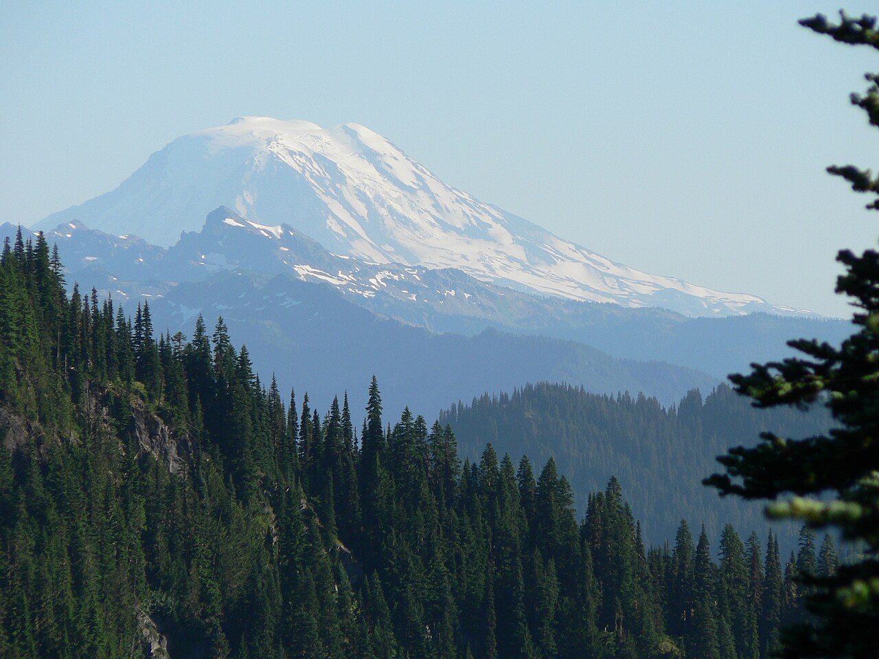
Oceanic lithosphere descends beneath North America at the Cascadia subduction zone. Water released from the descending plate promotes partial melting in the mantle above, helping supply the Cascade volcanic arc over geological time.
A large earthquake on the offshore plate boundary can displace the seabed and generate a tsunami. Use the plate-boundaries and tsunami models to separate gradual subduction, sudden fault slip and the movement of water that follows.
Exam-style question
Explain how the Cascadia subduction system forms a volcanic arc over geological time, and how a megathrust earthquake can generate a tsunami in minutes.
Teacher hint: Distinguish magma generation above the descending slab from the rapid seafloor displacement that can produce a tsunami.
Process labs
Sources
- USGS Cascadia
- NOAA / NWS tsunami