Case study US
Colorado River reservoirs
Lakes Powell and Mead
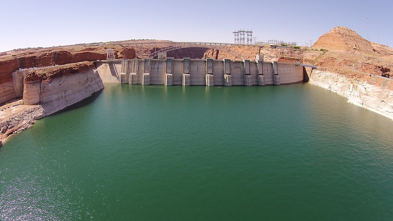
Reservoir levels in the Colorado River basin respond to the balance of inflow, withdrawals, releases and evaporation. Exposed shorelines make changes in stored water visible.
Preparing map style and visible tiles…
Location: 36.06°, -114.74°
A reservoir stores water when inflow exceeds releases and other losses. Its level falls when that balance reverses. Climate affects rain, snow and runoff, while management determines how water is distributed and released for different uses.
The pale shoreline bands around reservoirs mark earlier water levels, but they do not explain the full cause by themselves. Use the water-balance model to separate inputs, outputs and storage change, then consult dated records before discussing a particular period.
Exam-style question
Using stores and transfers, explain a falling Lake Mead level without claiming the global water cycle is leaking.
Teacher hint: Track inflow, releases, withdrawals and evaporation. A regional store can decline while the total quantity of water on Earth remains nearly unchanged.
Process labs
Sources
- USBR / USGS Colorado River