Case study US
Outer Banks
North Carolina
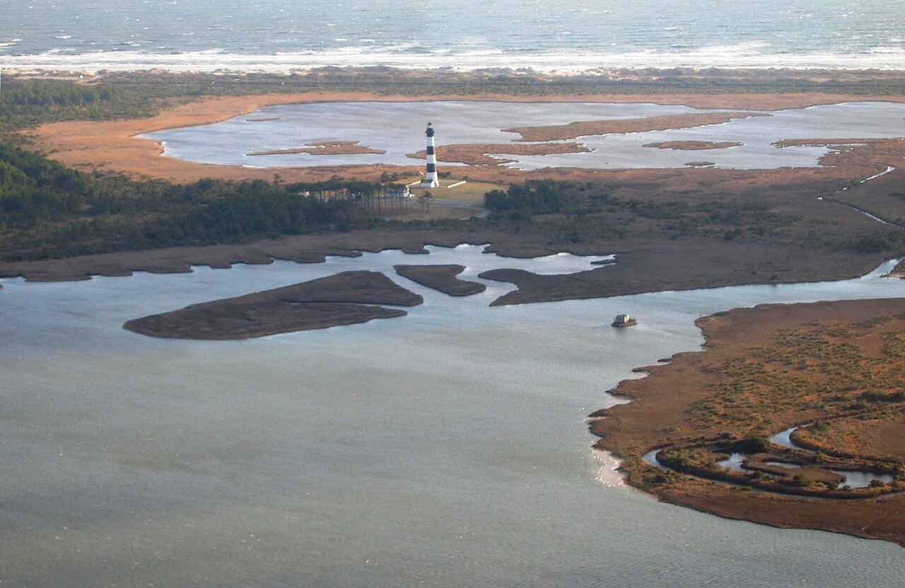
North Carolina’s Outer Banks are sandy barrier islands reshaped by waves, sediment transport and storms. They offer a useful comparison with the eroding till cliffs of Holderness.
Preparing map style and visible tiles…
Location: 35.25°, -75.53°
Barrier islands separate the open sea from shallow coastal waters. Sand moves alongshore and across the islands as waves, tides and storms change the coast. Storm overwash and inlet formation can move sediment even when buildings and roads remain fixed in place.
Compare the Outer Banks with Holderness in the coasts model. Both need a sediment-budget explanation, but one is a mobile sandy barrier system and the other includes soft eroding cliffs that supply sediment.
Exam-style question
Compare the Holderness cliff and the Outer Banks as sediment systems. What is shared, and what is not?
Teacher hint: Explain the shared role of longshore sediment transport, then compare mobile barrier sand with sediment supplied by till-cliff erosion.
Process labs
Sources
- USGS barrier islands
- NOAA / NPS Cape Hatteras