Case study US
San Andreas Fault
California
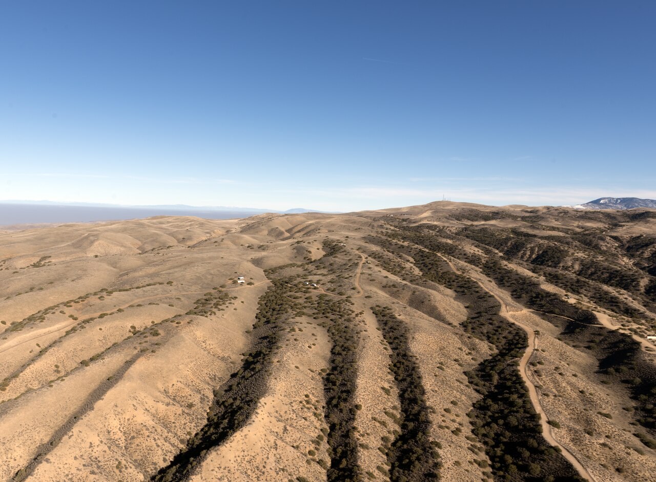
The San Andreas Fault records horizontal motion between the Pacific and North American plates. Offset landforms help reveal movement that is difficult to notice from day to day.
Preparing map style and visible tiles…
Location: 35.90°, -120.43°
The San Andreas is part of a transform boundary, with the Pacific Plate moving northwest relative to North America. Friction can hold parts of the fault while stress accumulates, followed by sudden slip during an earthquake. Other sections can move more gradually.
Look for displaced channels or other features that cross the fault, then compare their movement with the plate-boundaries model. Contrast this setting with Cascadia, where subduction also supplies conditions for a volcanic arc.
Exam-style question
Why does the San Andreas system produce large earthquakes but not a volcanic arc, unlike Cascadia?
Teacher hint: A transform boundary mainly accommodates horizontal slip. Cascadia subducts a plate, releasing water that promotes melting in the mantle above it.
Process labs
Sources
- USGS Earthquake Hazards Program
- USGS San Andreas fact sheets