Case study East Asia
Shanghai, Meiyu and the Huangpu
The Huangpu River in the Yangtze delta
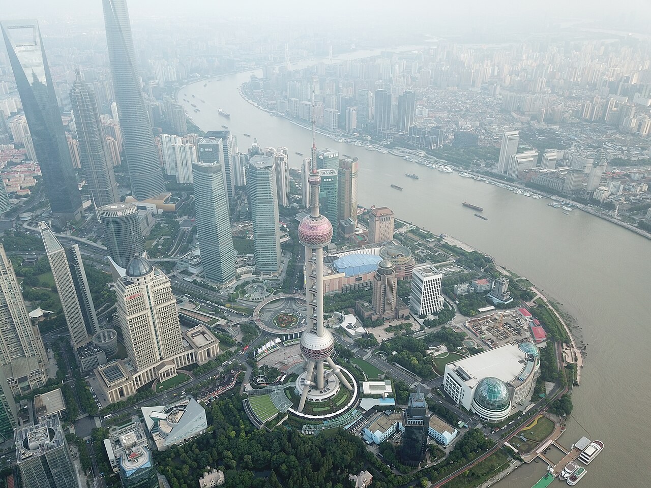
Shanghai’s Huangpu River connects urban drainage with a tidal river in a low-lying delta. Rainfall, river flow and coastal water levels can act together during flooding.
Preparing map style and visible tiles…
Location: 31.23°, 121.49°
The Huangpu is influenced by tides as well as freshwater flow from its catchment. Heavy rainfall can increase runoff while high downstream water levels restrict drainage. Flood walls and other infrastructure modify exposure but do not remove the need to understand those interacting processes.
Compare Shanghai with the lower Mississippi. Both occupy low-lying river landscapes, but their catchments, sediment systems and tidal influences differ. Use the basin and surge models to trace where water enters and what controls its exit.
Exam-style question
Explain why a high tide plus Meiyu rain is a different flood story from a Mississippi overbank flood.
Teacher hint: Explain the combined influence of catchment runoff and downstream tidal water levels, rather than treating the flood peak as rainfall alone.
Process labs
Sources
- Shanghai Water Authority — Huangpu tide
- CMA — Meiyu