Find a term from the labs, understand the process behind it, and see how it appears in the landscape. Each entry connects an explanation with a real observation and a model you can explore.
Term
Continental shelf
The gently sloping, submerged outer part of a continent, extending from the coast to the shelf break.
What to look for
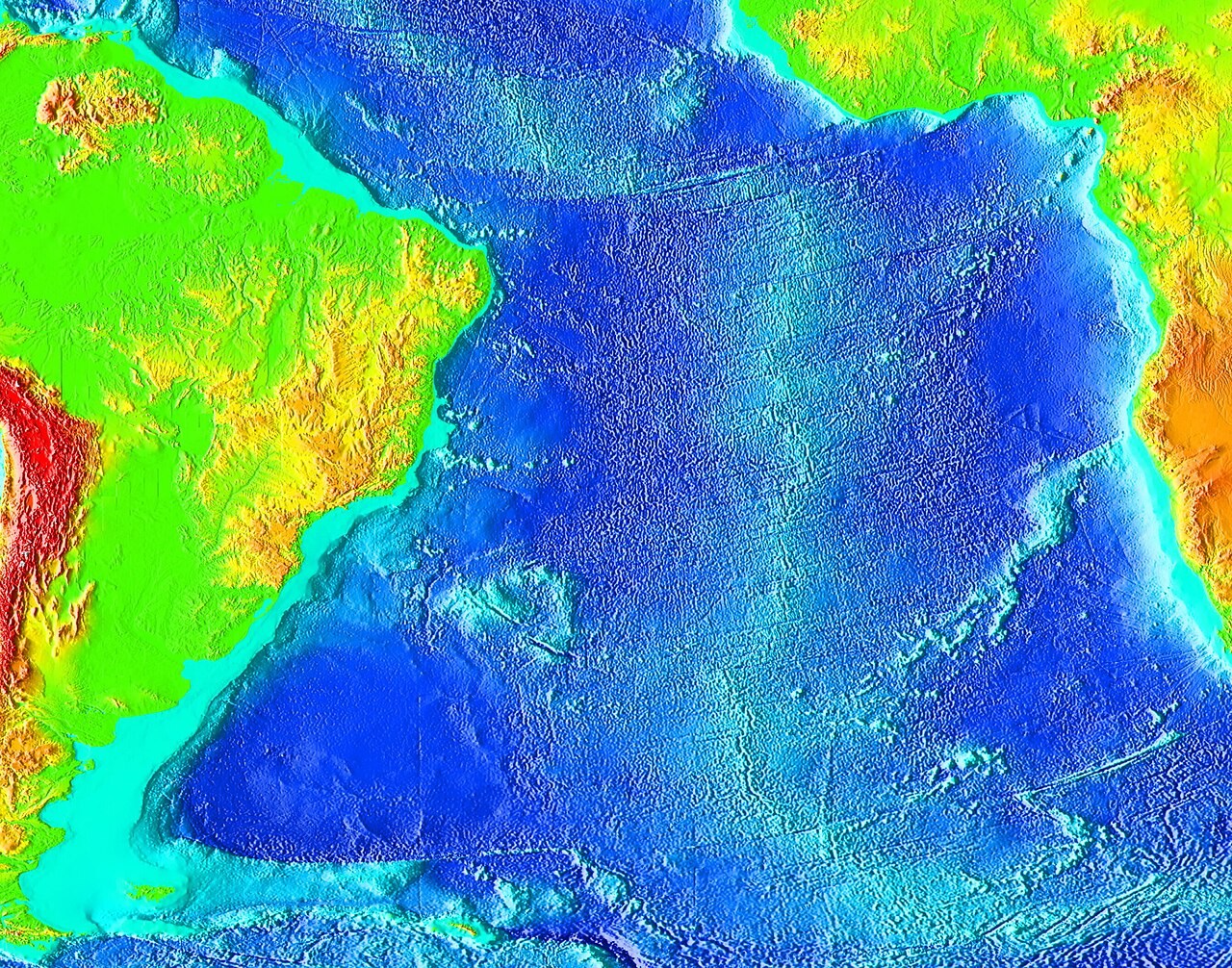
NOAA South Atlantic bathymetry. Colour represents seafloor depth, revealing continental margins, abyssal basins and the Mid-Atlantic Ridge.