Term
Four-figure grid reference
A reference identifying a 1 km square on a standard British National Grid map by its southwest corner. Read the easting first and then the northing. It identifies a square, not an exact point within it.
What to look for
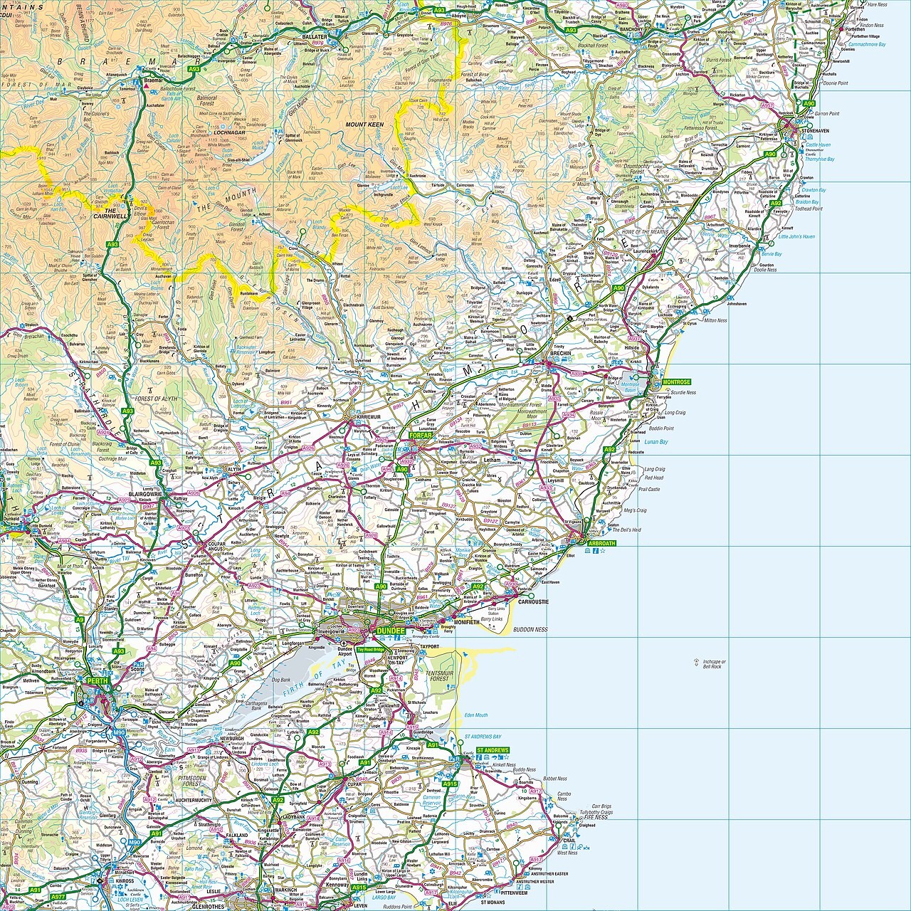
Ordnance Survey sheet NO, northeast Scotland. British National Grid eastings and northings are measured from a false origin southwest of Great Britain. Four figures identify a 1 km square; six identify a 100 m square. This reduced 1:250,000 sheet illustrates the system; use a detailed map for precise references.
Related labs
Loading photograph