Skip to content

417 words used in the labs.

Find a term from the labs, understand the process behind it, and see how it appears in the landscape. Each entry connects an explanation with a real observation and a model you can explore.

Intensity

The strength of earthquake shaking and its effects at a particular place. It depends on the earthquake, distance, local ground and built structures.

What to look for

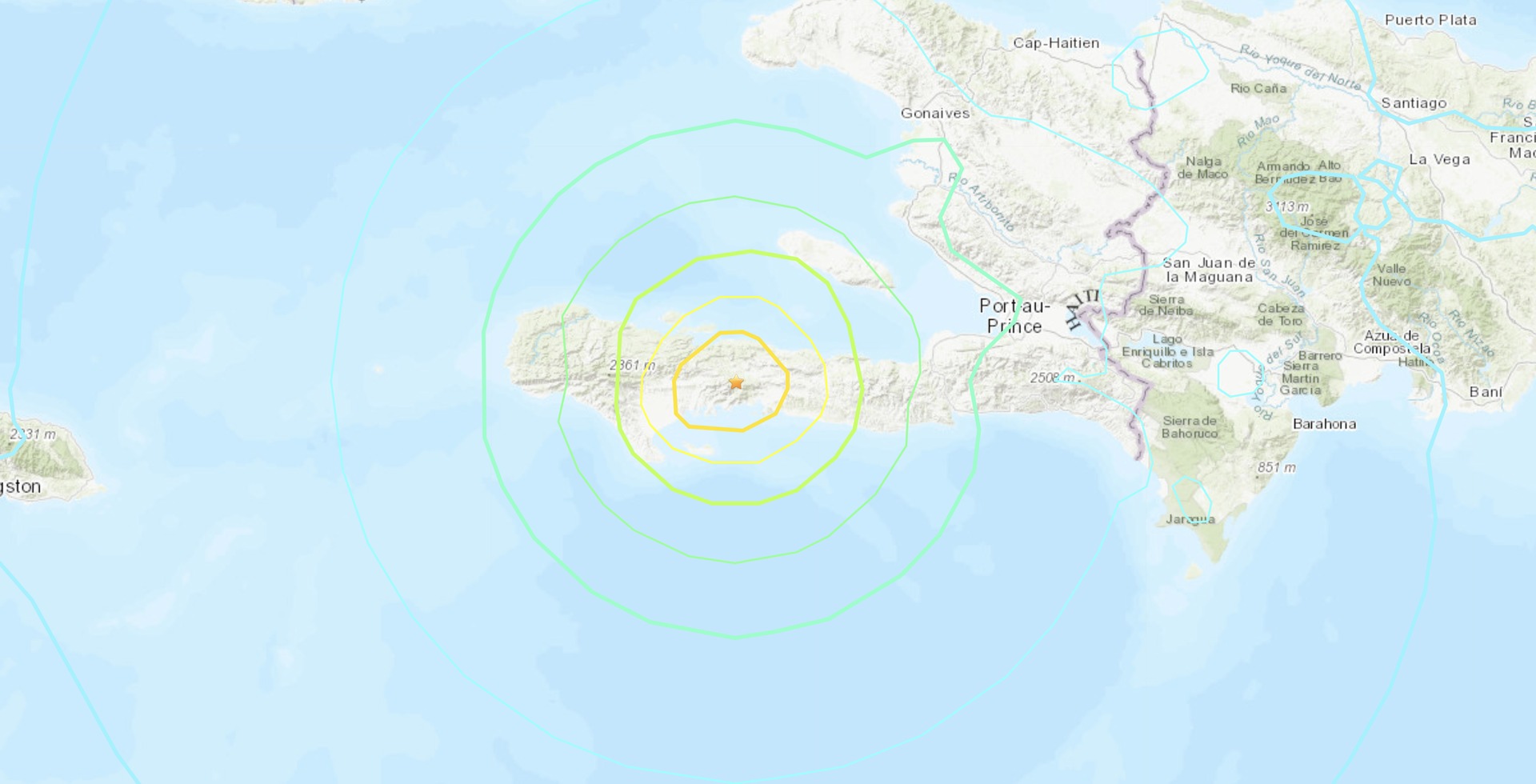
USGS ShakeMap for the 14 August 2021 Haiti earthquake. Intensity varies from place to place and describes shaking effects; magnitude describes the earthquake's overall size. This is the published event-time map, not live hazard information.

USGS ShakeMap of the 14 August 2021 Haiti earthquake with coloured zones of shaking intensity.
Loading photograph

Explore further with USGS water glossary · USGS volcano glossary · NPS glacial geology · NASA Earth facts. Photograph acknowledgements are collected on the Image credits page.