Term
International Date Line
The conventional boundary across which the civil calendar date changes, located broadly near 180 degrees longitude. Its course bends around countries and islands for practical reasons. It differs from the prime meridian, which defines zero longitude.
What to look for
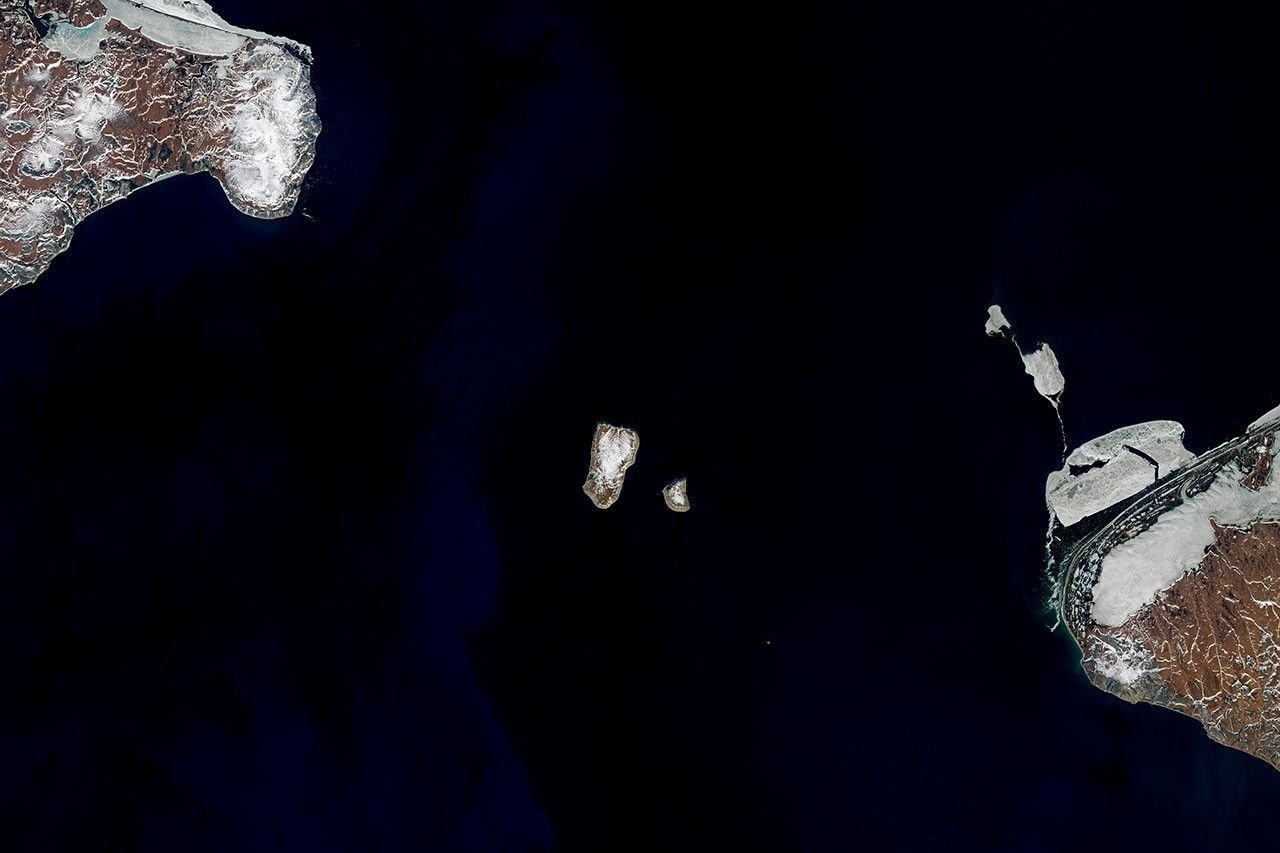
Landsat 8, 6 June 2017: Big Diomede (the larger island, left) belongs to Russia and Little Diomede (right) to the US. The International Date Line passes through the water between them; it is a convention, not a visible physical feature.
Related labs
Loading photograph