Term
Mercator
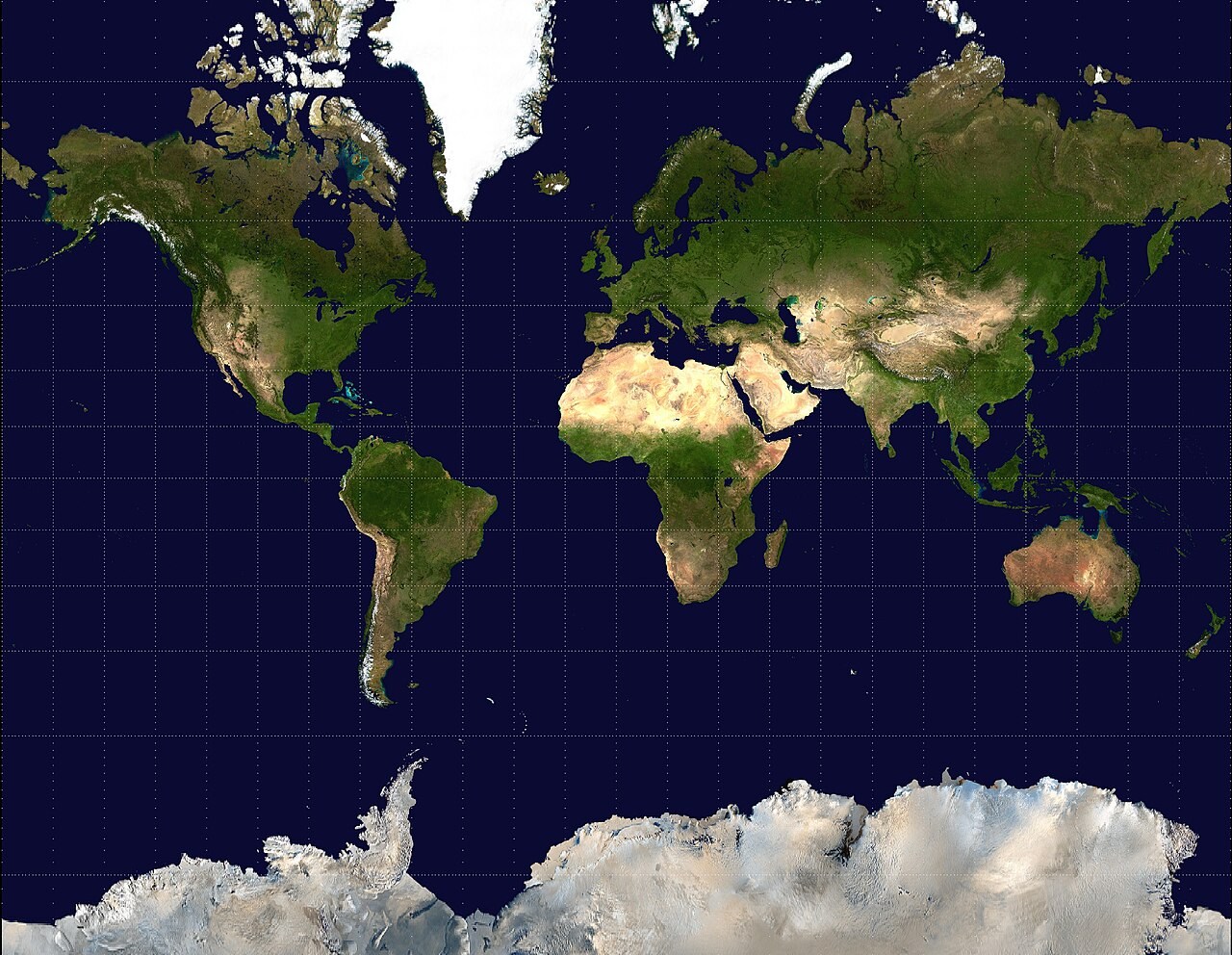
A conformal cylindrical map projection on which constant compass bearings plot as straight lines. It is useful for some navigation tasks, but areas become greatly enlarged towards the poles. Apparent land areas on it should not be compared directly.
What to look for
NASA Blue Marble imagery reprojected by Mdf into Mercator. Local angles are preserved, area grows towards the poles, and a constant-bearing route plots as a straight line.
Related labs
Loading photograph