Skip to content

417 words used in the labs.

Find a term from the labs, understand the process behind it, and see how it appears in the landscape. Each entry connects an explanation with a real observation and a model you can explore.

Shelf

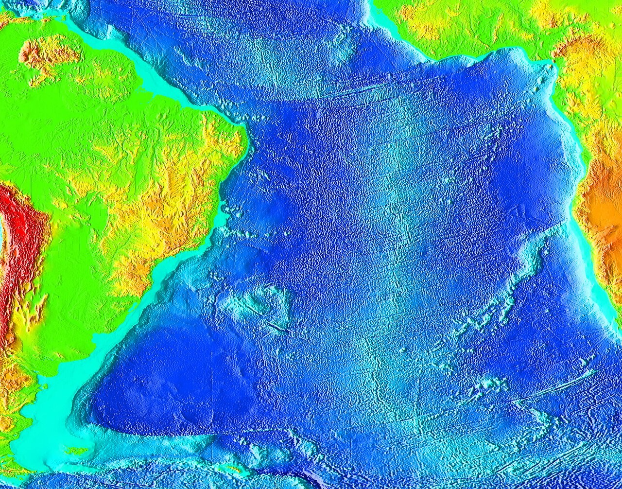
The shallow, gently sloping submerged edge of a continent, extending towards a steeper continental slope. Shelf depth and shape influence tides, waves and storm surge. A shallow shelf can support greater wind-driven water-level rise for the same forcing.

What to look for

NOAA South Atlantic bathymetry. Colour represents seafloor depth, revealing continental margins, abyssal basins and the Mid-Atlantic Ridge.

NOAA bathymetry map of the South Atlantic showing continental shelves and the mid-ocean ridge.
Loading photograph

Explore further with USGS water glossary · USGS volcano glossary · NPS glacial geology · NASA Earth facts. Photograph acknowledgements are collected on the Image credits page.