Find a term from the labs, understand the process behind it, and see how it appears in the landscape. Each entry connects an explanation with a real observation and a model you can explore.
Term
WGS84
A global geodetic reference system used by GPS, including a reference ellipsoid and coordinate frame. Converting to the British National Grid requires a projection and datum transformation.
What to look for
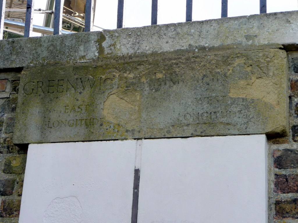
The historic Greenwich Meridian makes a reference longitude tangible. Modern WGS84 zero longitude lies about 102 metres east of this line.