Skip to content

417 words used in the labs.

Find a term from the labs, understand the process behind it, and see how it appears in the landscape. Each entry connects an explanation with a real observation and a model you can explore.

Water table

The upper surface of an unconfined groundwater body, below which connected pores are saturated. Its height changes with recharge and groundwater flow. In a confined aquifer, the level reached in a well represents pressure head rather than a free water table.

What to look for

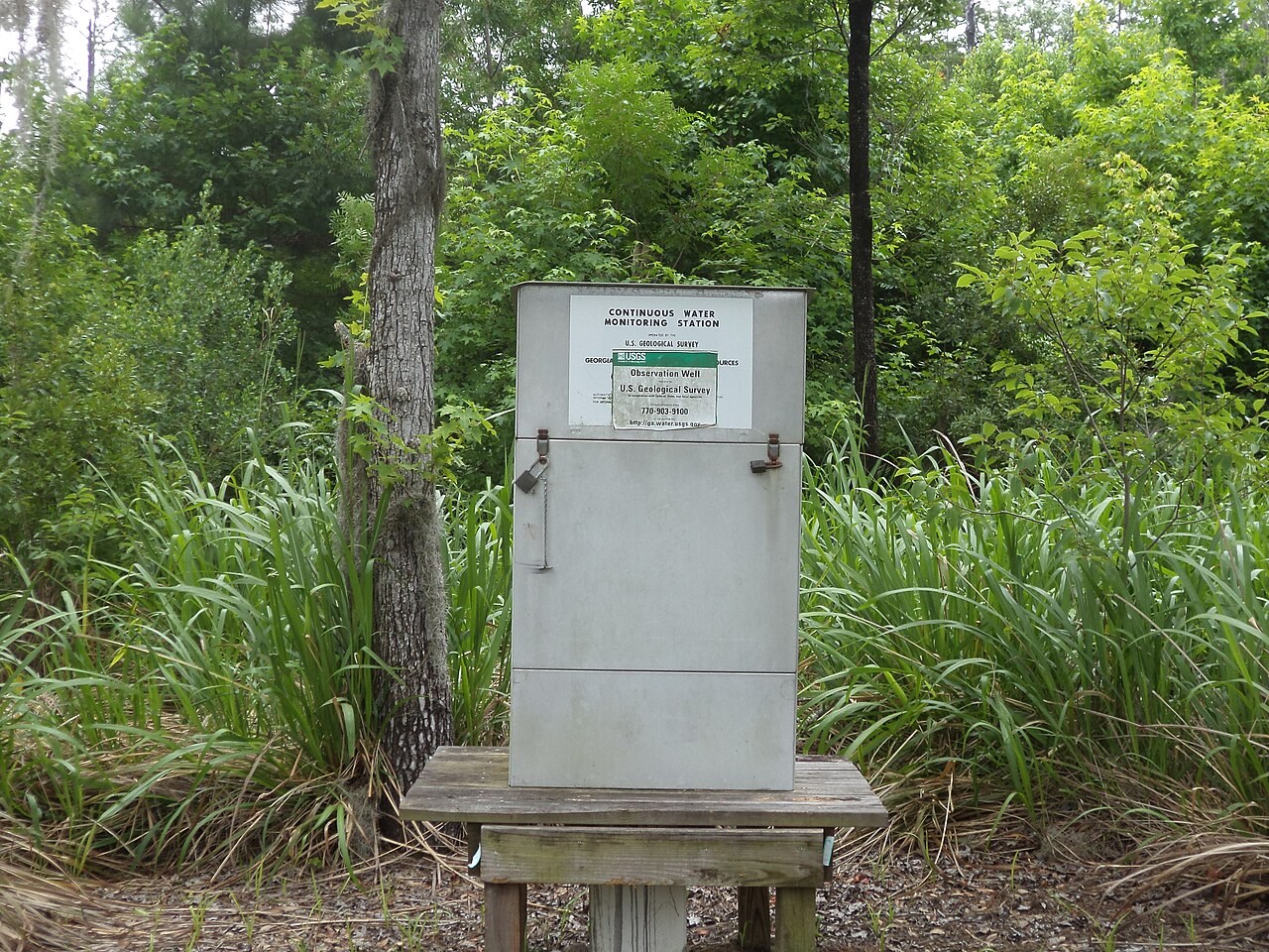
USGS observation well in Stephen C. Foster State Park, Georgia. Instruments record groundwater levels; the water table itself lies beneath the surface.

A USGS groundwater observation station in Stephen C. Foster State Park, Georgia.
Loading photograph

Explore further with USGS water glossary · USGS volcano glossary · NPS glacial geology · NASA Earth facts. Photograph acknowledgements are collected on the Image credits page.