Case study UK
A UK upland river
Lake District
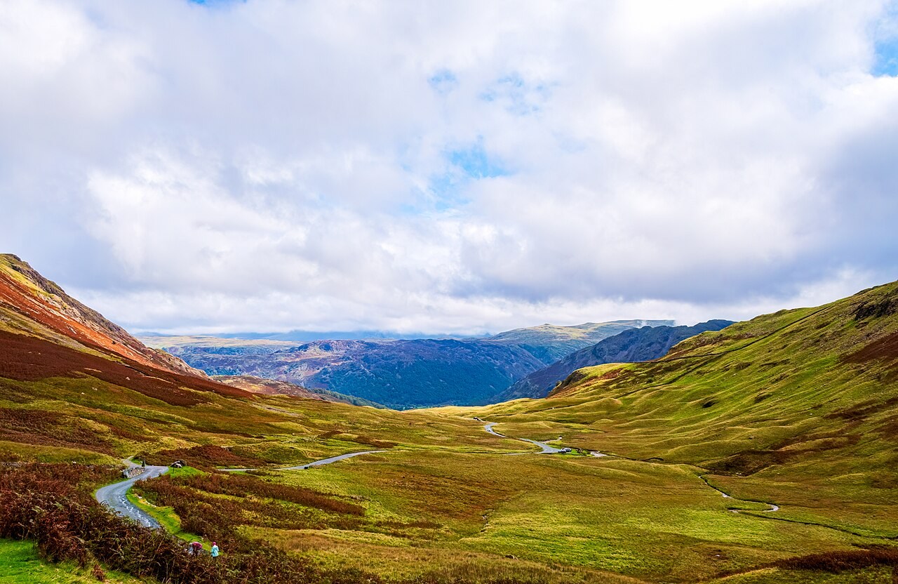
Lake District rivers flow through valleys reshaped by earlier glaciers. Their channels show how running water continues to modify an inherited landscape.
Preparing map style and visible tiles…
Location: 54.45°, -3.09°
Ice widened and deepened many Lake District valleys, leaving troughs, hanging valleys and lakes. Since the glaciers retreated, rivers have cut smaller channels into those valley floors and moved sediment through them. The resulting landscape records more than one process.
Compare a broad valley cross-section with the narrow channel inside it. Then switch between the glaciers, rivers and contours models to connect the valley shape, the present flow and the pattern drawn on a map.
Exam-style question
Explain why a Lake District valley may be U-shaped in cross-profile but still host a V-shaped inner channel.
Teacher hint: Separate the older glacial trough from the smaller channel cut by the river after ice retreat.
Sources
- OS / BGS Northern England
- National Trust / Lake District National Park