Case study East Asia
Loess Plateau
The plateau across Shaanxi, Shanxi and Gansu
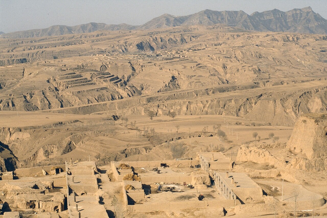
Wind deposited the fine sediment of the Loess Plateau, while running water later cut many of its gullies. Distinguishing deposition from erosion makes this landscape easier to explain.
Preparing map style and visible tiles…
Location: 36.60°, 109.50°
Loess is predominantly wind-deposited silt. Once exposed on slopes, it can be detached and transported by rainfall and concentrated runoff. Deep gullies therefore record water erosion of material that originally arrived by a different process.
Compare the aeolian and soil-erosion models to follow the sediment through both stages. Then contrast the plateau with the Dust Bowl, where wind removal of exposed topsoil was central to the event being studied.
Exam-style question
Explain how the Loess Plateau records both wind deposition and water erosion, using a US Dust Bowl comparison.
Teacher hint: Separate the earlier aeolian deposition of silt from its later removal by runoff and gully erosion.
Process labs
Sources
- CAS / FAO — Loess Plateau restoration
- USDA — Dust Bowl