Case study UK
Somerset Levels
Somerset
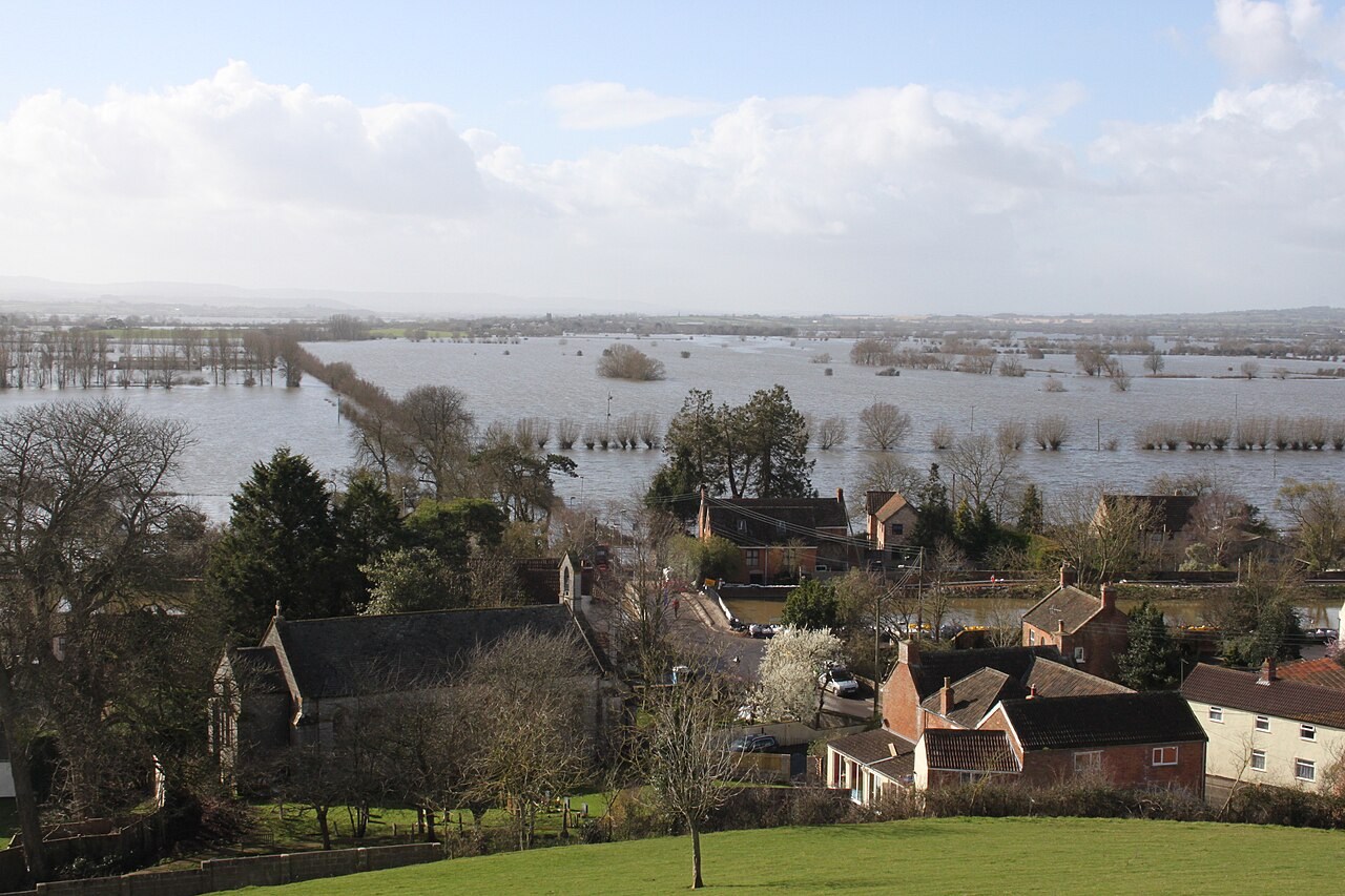
Flooding on the Somerset Levels depends on how quickly water can leave a low-lying landscape. Saturated ground, river capacity, tides and drainage management all influence the response.
Preparing map style and visible tiles…
Location: 51.13°, -2.83°
Much of the Levels is low and flat, so water can move away slowly. Prolonged rain fills soil and channel stores before additional water spreads over the floodplain. Embankments, pumping and the tidal conditions downstream influence where water accumulates and how long it remains.
Use the hydrograph model to compare a rapid runoff response with a long falling limb. Ask students to distinguish the rainfall that supplies water from the drainage conditions that control its removal.
Exam-style question
Using the idea of lag time, explain why the Somerset Levels can stay flooded long after the rain has stopped.
Teacher hint: Explain how saturated ground adds runoff while low gradients and restricted outlets can prolong the flood’s falling limb.
Process labs
Sources
- Environment Agency — Somerset
- UKCEH hydrology