Realm
Skills
Connect maps with the world
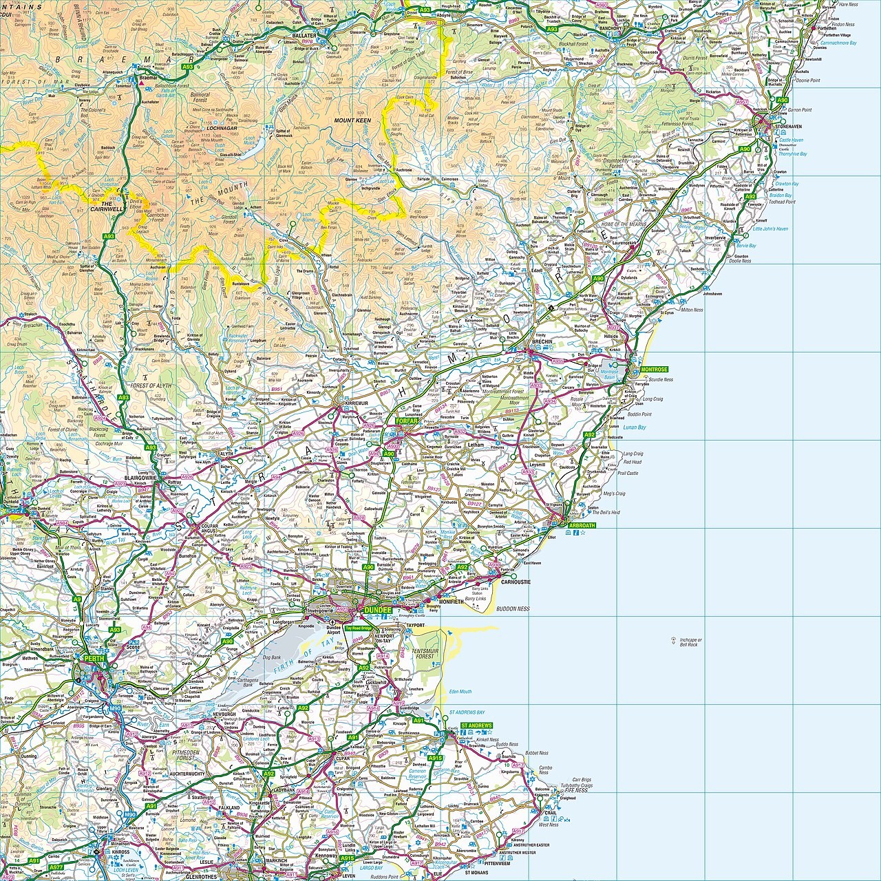
Build confidence with contours, coordinates and projections by comparing each map with the terrain or globe it represents.
Loading photograph
Loading photograph
Skills
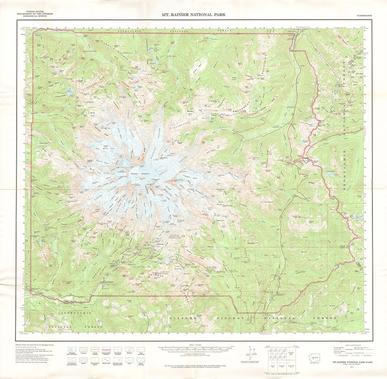
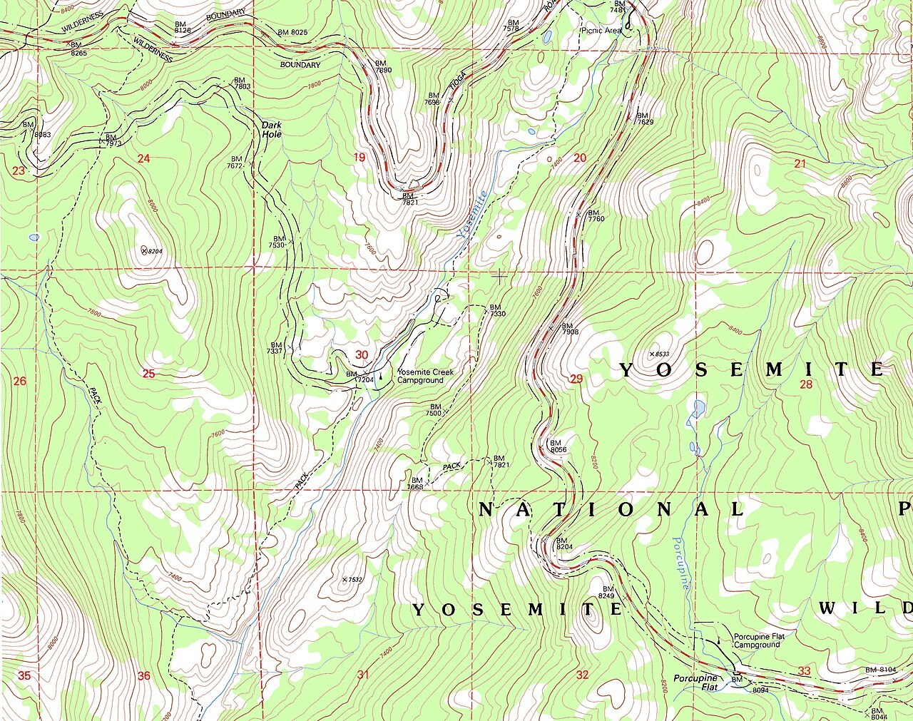
Contours ↔ 3D terrain
A contour joins places at the same elevation.
Loading photograph
Skills
Graticule and coordinates
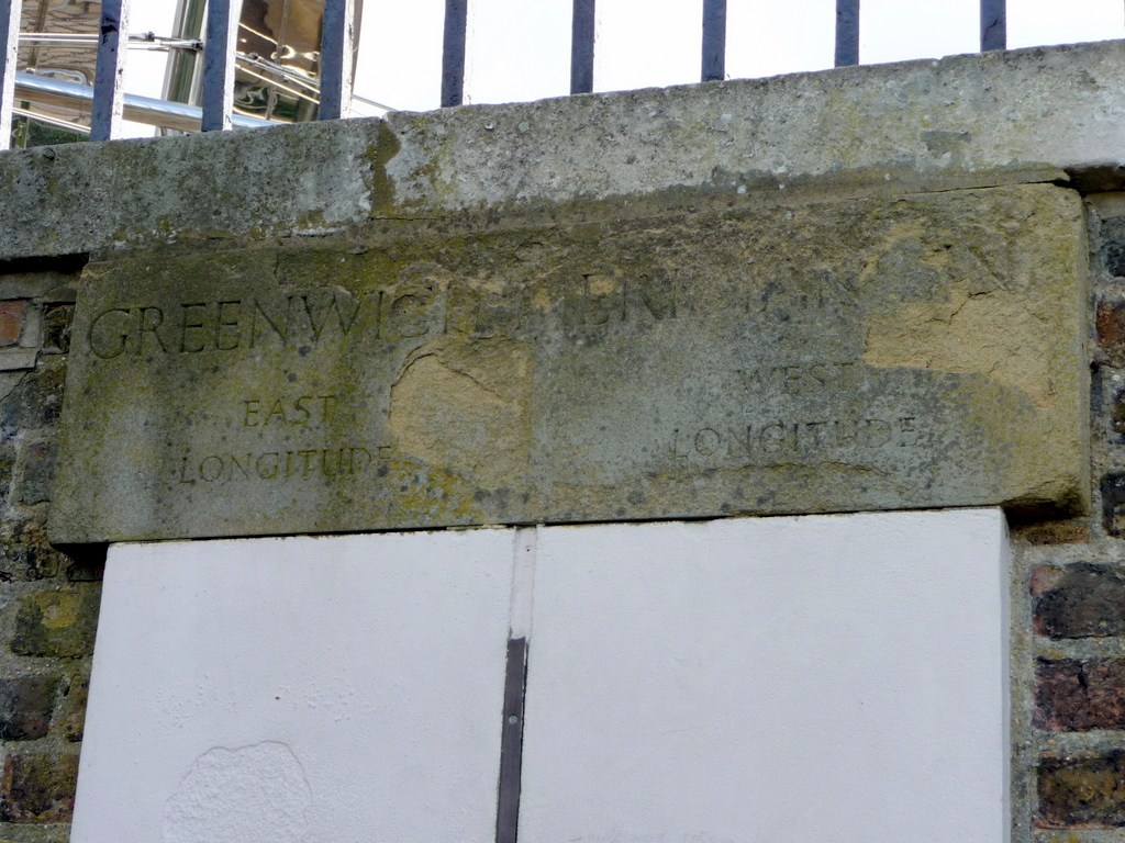
Latitude measures an angle north or south of the equator, while longitude measures an angle east or west of the prime meridian.
Loading photograph
Skills
Map projections
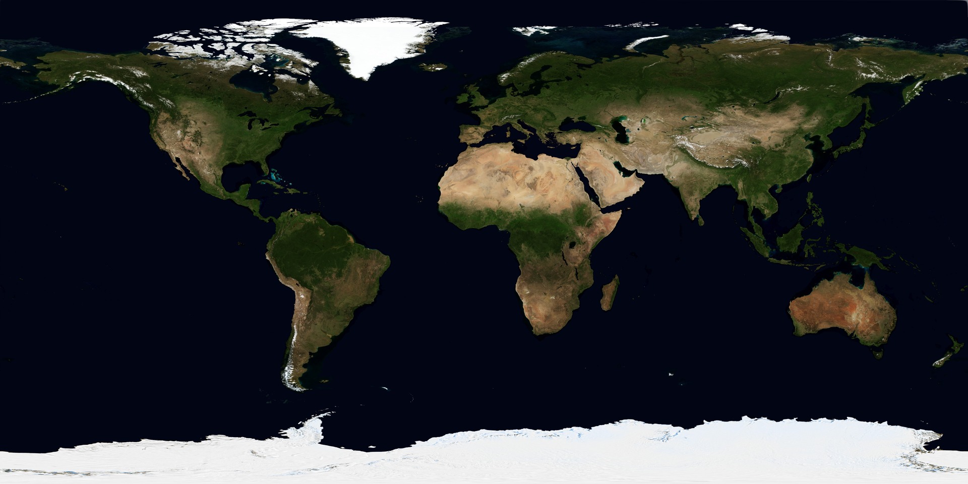
A map projection transfers positions from a curved surface to a plane.
Loading photograph
Skills
Grid references
A grid reference locates a cell using eastings followed by northings.