Skills studio
Read the map, then the hill.
This page is the skills studio — a bench of labs you can open. /realms/skills is the same realm as a catalogue card: hook, photo, and the list. Start here to run a contour or a projection; use the realm page to browse. GCSE map questions are contour questions. Then the graticule, a projection, a grid reference, a hydrograph, a texture triangle.
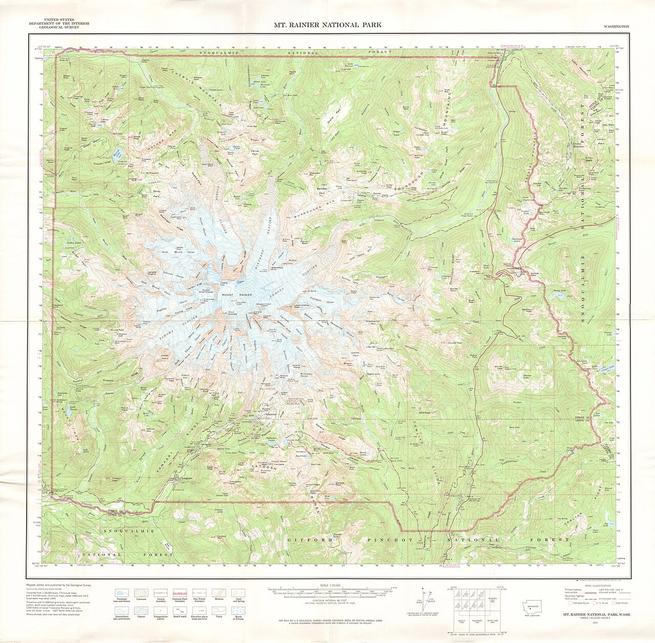
Contours ↔ 3D terrain
A contour joins places at the same elevation.
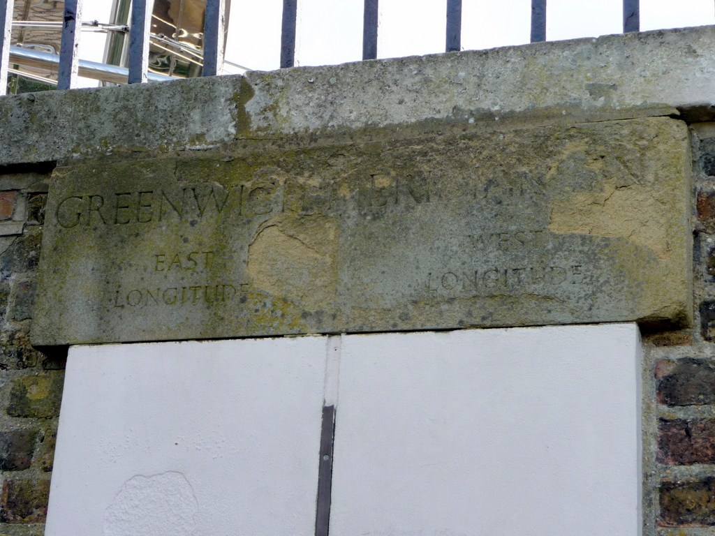
Graticule and coordinates
Latitude measures an angle north or south of the equator, while longitude measures an angle east or west of the prime meridian.
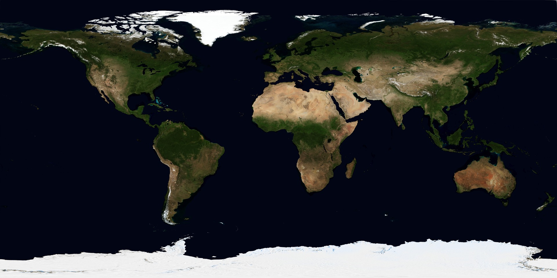
Map projections
A map projection transfers positions from a curved surface to a plane.
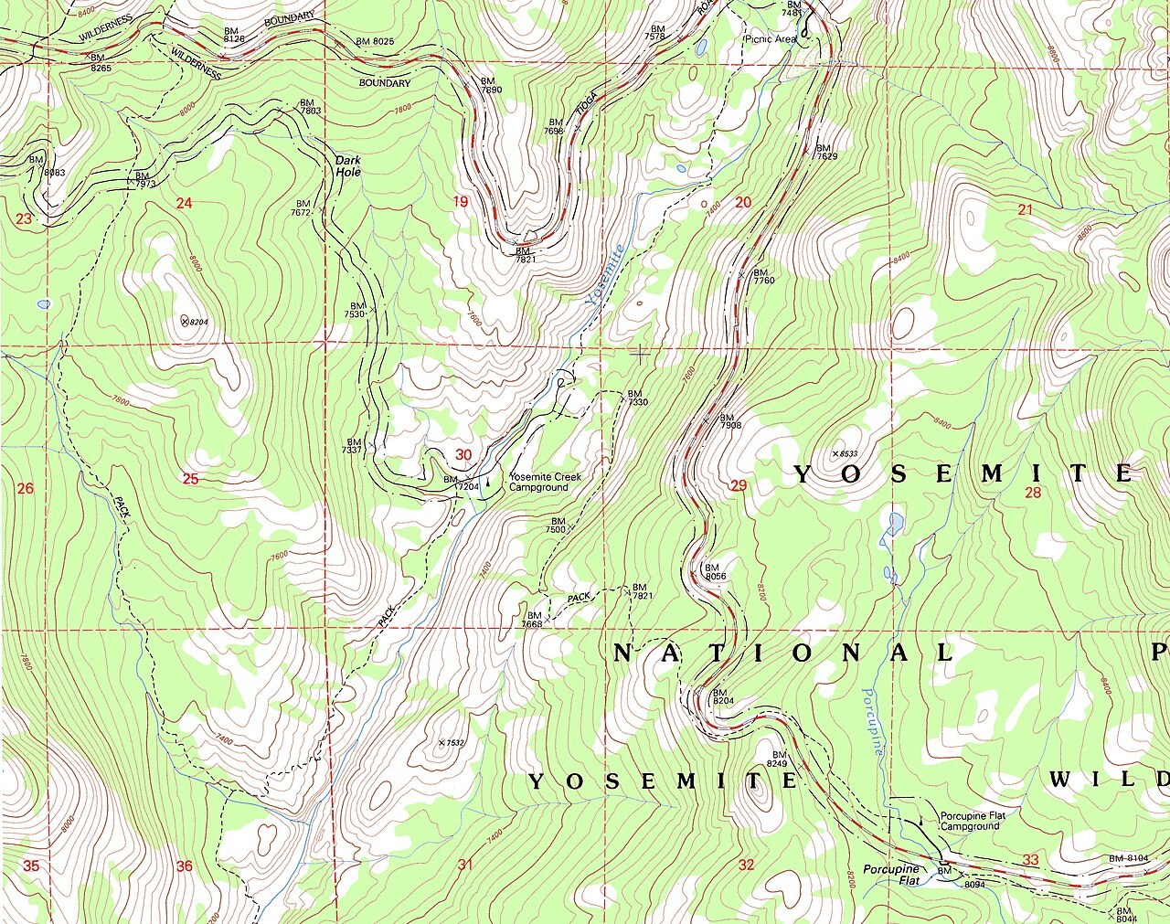
Grid references
A grid reference locates a cell using eastings followed by northings.
Also a skill, housed in another realm
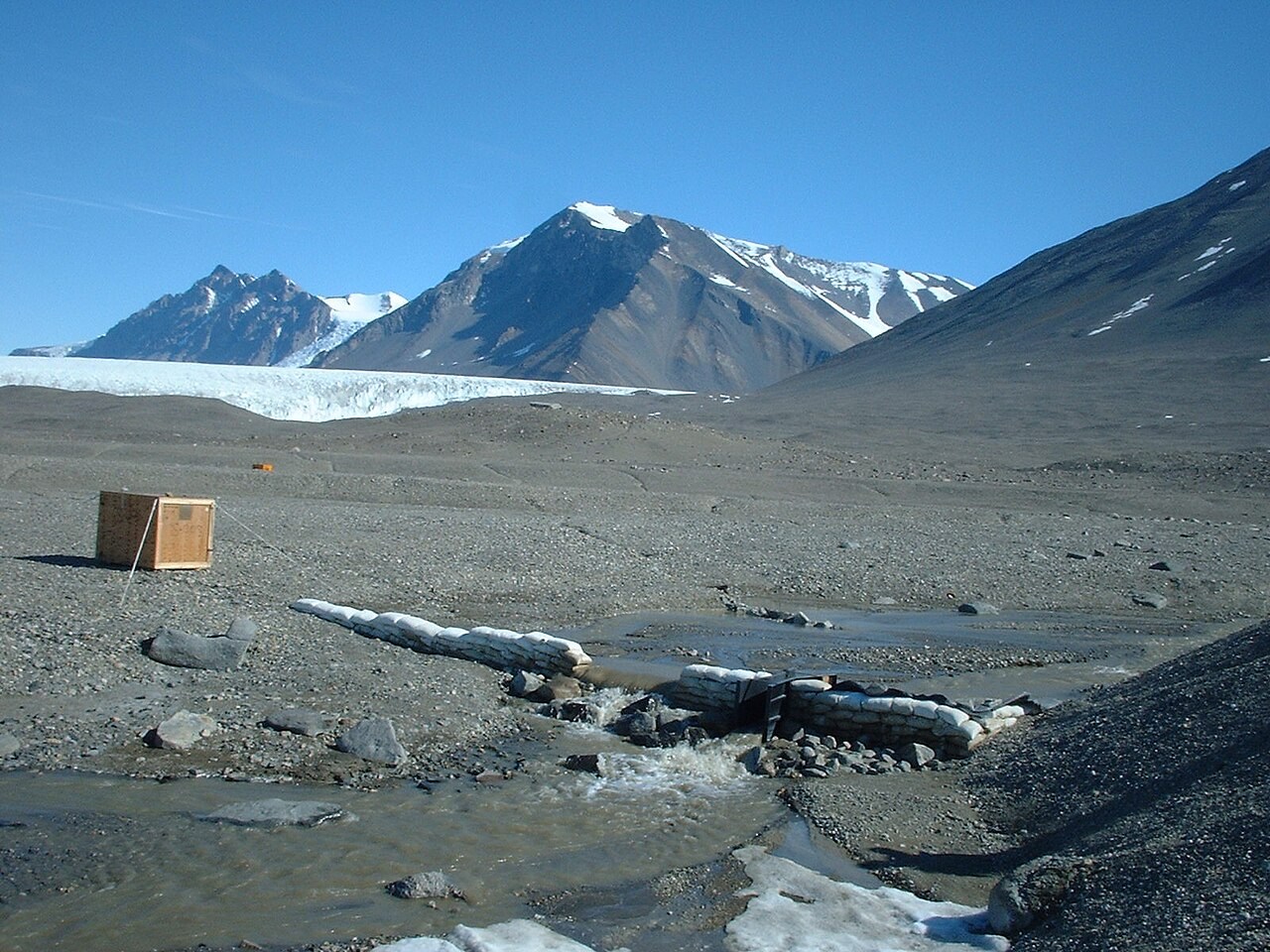
Storm hydrograph
A storm hydrograph shows how river discharge changes after rainfall.
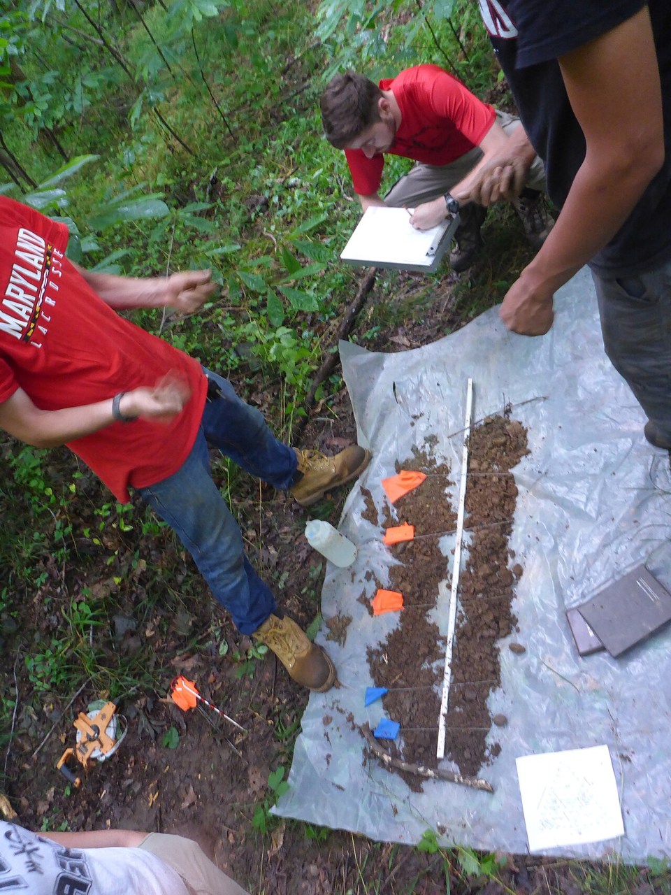
Soil texture triangle
Soil texture describes the proportions of sand, silt and clay.