Teachers
A lesson for your classroom or geography club
Cyclone and anticyclone
All teacher notes · Open the lab
A suggested lesson sequence
Use these stages at your own pace. Pause for students to sketch, compare observations or lead part of the demonstration.
01
Observe
Identify the low and trace surface convergence. Read spin from above, then reverse hemisphere.
02
Tinker
Switch to Anticyclone and distinguish divergence from rotation. Name the exaggerated vertical motion.
03
Explain
How do surface convergence and divergence differ from the rotation around a pressure system?
04
Check
Choose an answer and explain your reasoning. Each question includes feedback.
Rehearse with the model
The same scene and controls as the lab. Load it when you are ready; use Start projector for the full classroom view.
Before the lesson
Compare pressure and airflow around a cyclone and an anticyclone, then relate each pattern to the weather it can bring.
Open the model before the lesson and choose a view that makes the important feature easy to see. Drag to rotate, and use the on-screen controls to change one variable at a time. The Controls panel explains the available keyboard shortcuts.
Pause the animation at a useful moment. Ask students what should happen next, then play it to test their explanation.
Guide the demonstration
Identify the low and trace surface convergence. Read spin from above, then reverse hemisphere.
Switch to Anticyclone and distinguish divergence from rotation. Name the exaggerated vertical motion.
Discuss a common misconception
“High pressure always brings hot, sunny weather.” High pressure is commonly associated with descending air, but surface weather also depends on season, moisture and temperature. An anticyclone can bring clear skies or persistent fog and low cloud. In winter, weak winds and clear nights can allow strong cooling near the ground.
Build the explanation
Around a low-pressure system, air tends to converge near the surface; around a high it tends to diverge. Rotation and friction determine the circulation direction and cross-isobar flow.
Switch to Anticyclone and distinguish divergence from rotation. Name the exaggerated vertical motion.
These idealised pressure systems show circulation patterns; cloud and rainfall depend on moisture and stability as well as pressure.
Teaching notes
Check the hemisphere before describing the direction of circulation around high and low pressure.
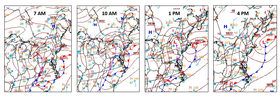
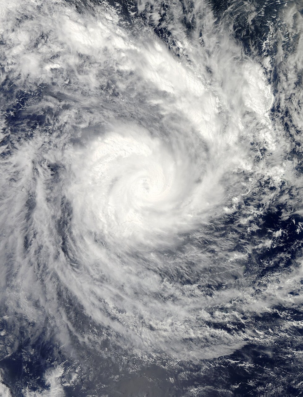
Distinguish a midlatitude cyclone with fronts from a tropical cyclone driven by warm-ocean conditions.
Explain that an anticyclone can bring fog or low cloud, so high pressure does not guarantee sunshine.
Check understanding
Open Check for 4 questions. Ask students to explain their choice before revealing the answer.
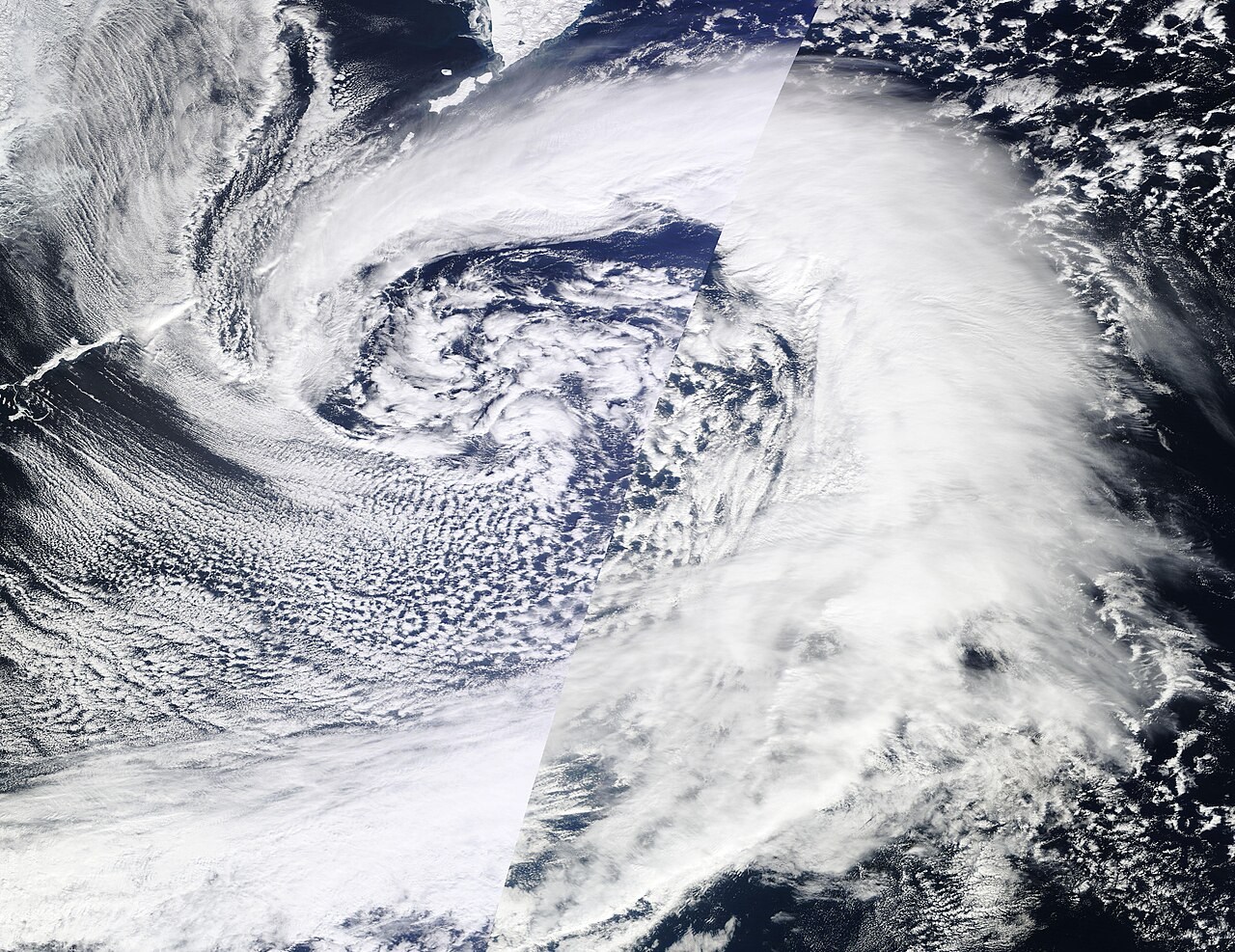
Return to the opening photograph. Ask students to identify one visible feature and explain which part of the model helps account for it.
Look more closely
Use these observations to connect the vocabulary to features students can identify.
Anticyclone
Convergence
Sources to keep beside the lesson
- Met Office depressions
- NOAA extra-tropical
- Met Office synoptic charts