Teachers
A lesson for your classroom or geography club
Earthquakes
All teacher notes · Open the lab
A suggested lesson sequence
Use these stages at your own pace. Pause for students to sketch, compare observations or lead part of the demonstration.
01
Observe
Identify hypocentre, epicentre and the separate fault trace. Set Focus depth to 20 km and predict which front reaches the station first.
02
Tinker
Scrub Process through both arrivals and read the times. Increase depth, then explain the longer ray path.
03
Explain
How does increasing the focus depth change the wave path and arrival time at a fixed station?
04
Check
Choose an answer and explain your reasoning. Each question includes feedback.
Rehearse with the model
The same scene and controls as the lab. Load it when you are ready; use Start projector for the full classroom view.
Before the lesson
Locate the focus and epicentre of an earthquake and compare how different seismic waves travel through Earth.
Open the model before the lesson and choose a view that makes the important feature easy to see. Drag to rotate, and use the on-screen controls to change one variable at a time. The Controls panel explains the available keyboard shortcuts.
Pause the animation at a useful moment. Ask students what should happen next, then play it to test their explanation.
Guide the demonstration
Identify hypocentre, epicentre and the separate fault trace. Set Focus depth to 20 km and predict which front reaches the station first.
Scrub Process through both arrivals and read the times. Increase depth, then explain the longer ray path.
Discuss a common misconception
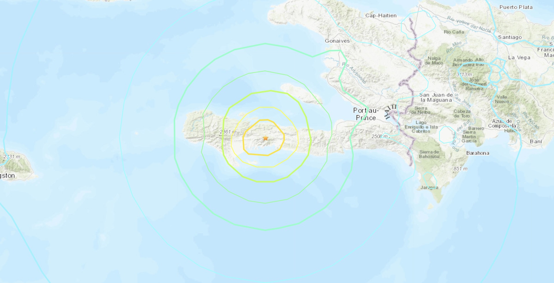
“Earthquake magnitude and shaking intensity are the same measurement.” Magnitude describes the earthquake’s size at its source. Intensity describes shaking and effects at a particular place, so it varies with distance, local ground and buildings. One earthquake can therefore have a single reported magnitude but many different local intensities.
Build the explanation
An earthquake releases energy when rock slips along a fault. The focus is the source at depth and the epicentre lies above it; different seismic waves transmit the disturbance through and along Earth.
Scrub Process through both arrivals and read the times. Increase depth, then explain the longer ray path.
The wave illustration separates propagation mechanisms; shaking and damage also depend on the source, distance, ground and buildings.
Teaching notes
Distinguish earthquake magnitude from the intensity of shaking experienced at a particular location.
Locate the epicentre at the surface above the focus, and explain that S waves do not pass through the liquid outer core.
Identify the fault setting before interpreting an event; California includes transform movement as well as other tectonic settings.
Check understanding
Open Check for 4 questions. Ask students to explain their choice before revealing the answer.
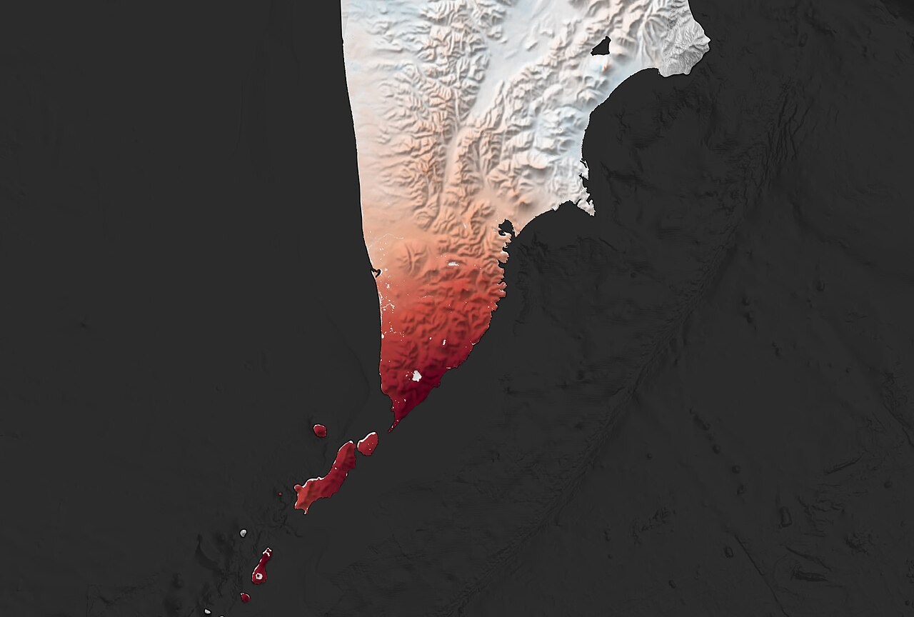
Return to the opening photograph. Ask students to identify one visible feature and explain which part of the model helps account for it.
Look more closely
Use these observations to connect the vocabulary to features students can identify.
Focus
Intensity
Sources to keep beside the lesson
- USGS earthquakes
- BGS seismology
- USGS earthquake sources and waves