Teachers
A lesson for your classroom or geography club
Graticule and coordinates
All teacher notes · Open the lab
A suggested lesson sequence
Use these stages at your own pace. Pause for students to sketch, compare observations or lead part of the demonstration.
01
Observe
Locate the equator and prime meridian, then follow a parallel and a meridian around the globe.
02
Tinker
Change Latitude first, then Longitude. Read the hemisphere letters and explain why changing one coordinate moves the marker along a different direction.
03
Explain
Why does one degree of longitude cover less ground near the poles than near the equator?
04
Check
Choose an answer and explain your reasoning. Each question includes feedback.
Rehearse with the model
The same scene and controls as the lab. Load it when you are ready; use Start projector for the full classroom view.
Before the lesson
Use latitude and longitude to locate a point on Earth, and relate longitude to differences in local solar time.
Open the model before the lesson and choose a view that makes the important feature easy to see. Drag to rotate, and use the on-screen controls to change one variable at a time. The Controls panel explains the available keyboard shortcuts.
Ask students to predict the result before you change a setting. Compare the new view with the starting state.
Guide the demonstration
Locate the equator and prime meridian, then follow a parallel and a meridian around the globe.
Change Latitude first, then Longitude. Read the hemisphere letters and explain why changing one coordinate moves the marker along a different direction.
Discuss a common misconception
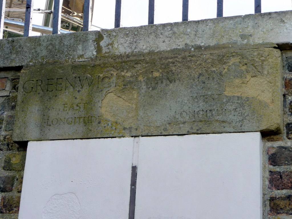
“The coordinates 0 degrees latitude and 0 degrees longitude locate Greenwich.” Greenwich is close to zero longitude but about 51.5 degrees north of the equator. Zero latitude lies on the equator, so the two zero coordinates meet in the Gulf of Guinea. Latitude and longitude identify separate angular directions and must both be specified.
Build the explanation
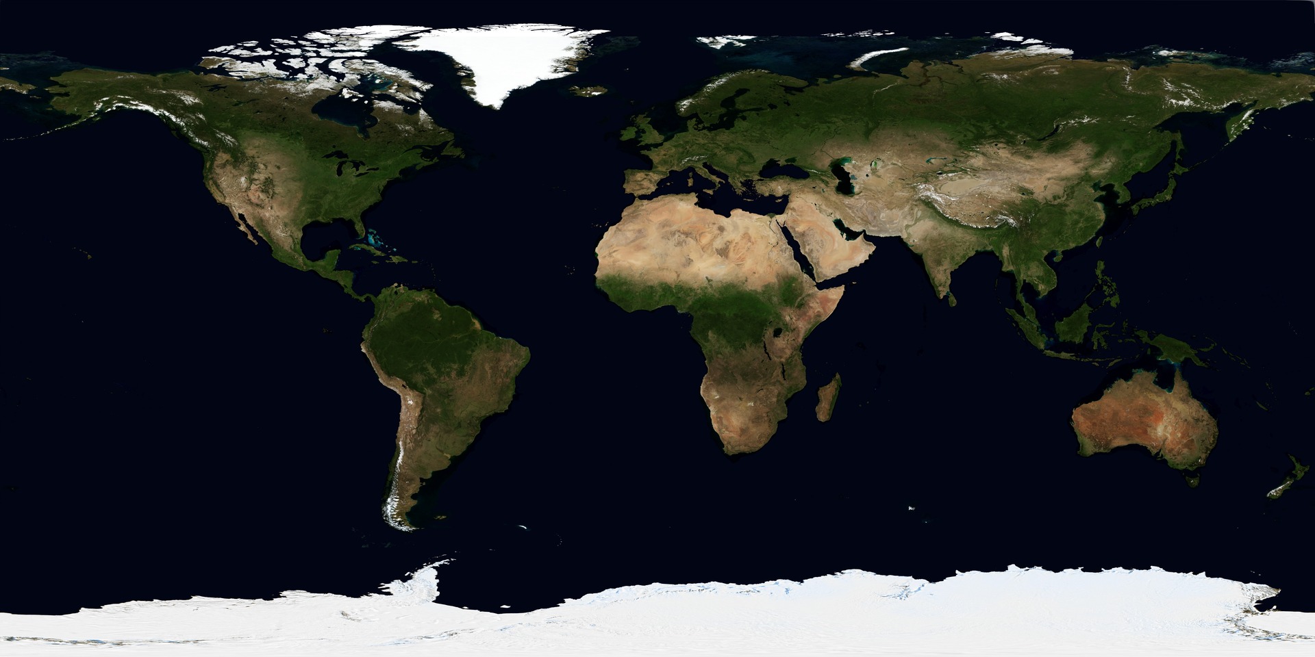
Latitude measures an angle north or south of the equator, while longitude measures an angle east or west of the prime meridian. Parallels and meridians form the coordinate grid called the graticule.
Change Latitude first, then Longitude. Read the hemisphere letters and explain why changing one coordinate moves the marker along a different direction.
These are angular coordinates on a sphere; a degree of longitude covers less ground as latitude increases.
Teaching notes
Check the east–west convention using a known location; New York is west of Greenwich.
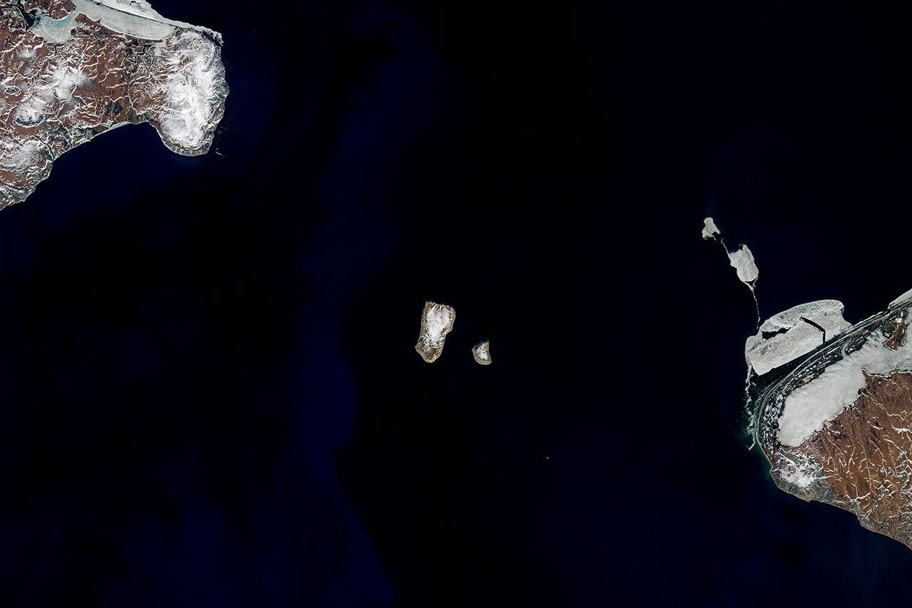
Distinguish the prime meridian from the International Date Line, and place 0° latitude, 0° longitude on the equator.
Explain that time zones are human conventions for clocks, while Earth’s rotation produces day and night.
Check understanding
Open Check for 4 questions. Ask students to explain their choice before revealing the answer.
Return to the opening photograph. Ask students to identify one visible feature and explain which part of the model helps account for it.
Look more closely
Use these observations to connect the vocabulary to features students can identify.
Graticule
International Date Line
Sources to keep beside the lesson
- Royal Observatory Greenwich
- OS / USGS map skills