Teachers
A lesson for your classroom or geography club
Grid references
All teacher notes · Open the lab
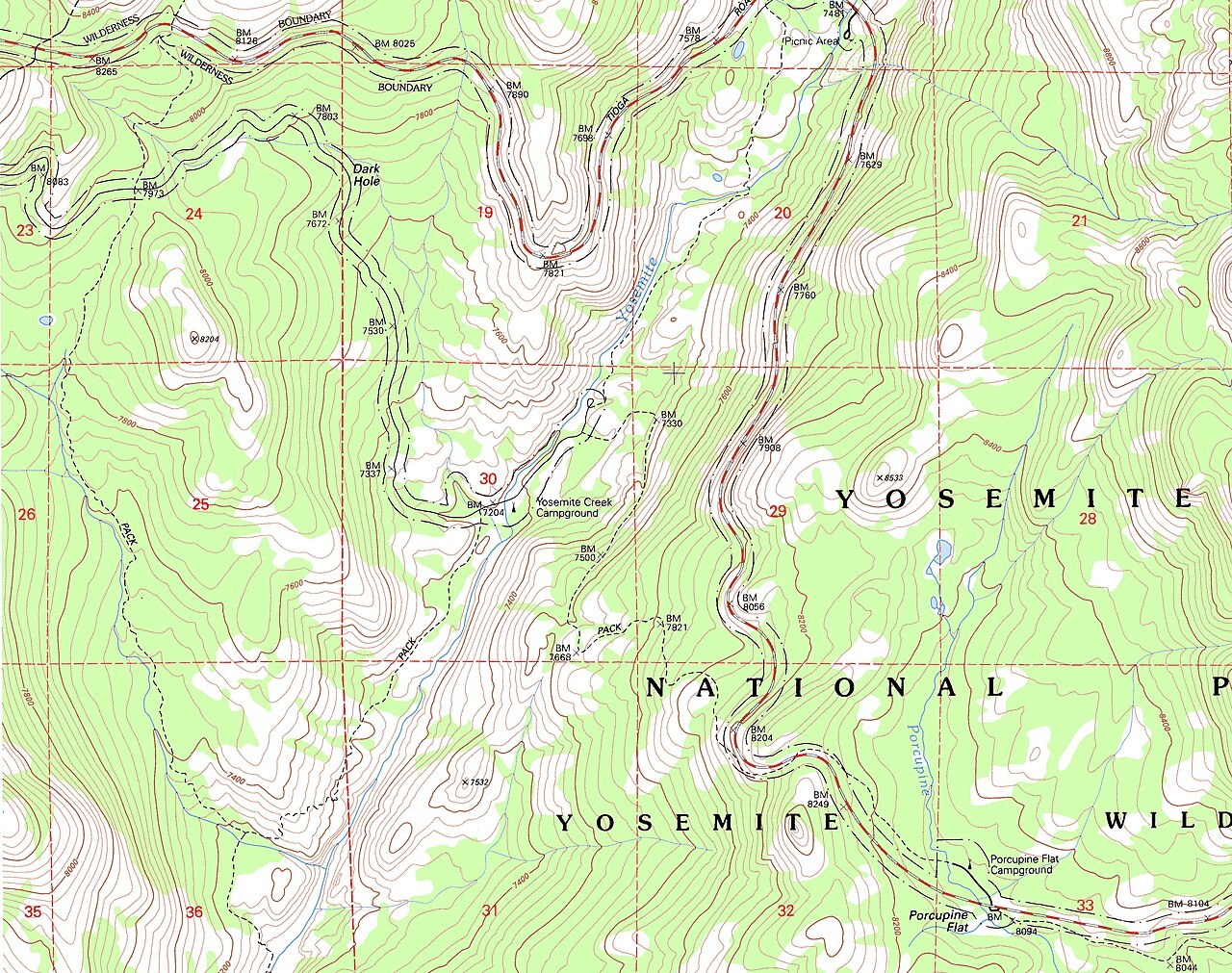
A suggested lesson sequence
Use these stages at your own pace. Pause for students to sketch, compare observations or lead part of the demonstration.
01
Observe
Read the board’s scale and locate its eastings and northings. Distinguish the full 100 km square from a selected 100 m cell.
02
Tinker
Set Easting before Northing and read the six-figure reference. Add the letter pair when explaining how a full British National Grid reference identifies the wider square.
03
Explain
Explain the difference between identifying a grid square and measuring a point’s position accurately.
04
Check
Choose an answer and explain your reasoning. Each question includes feedback.
Rehearse with the model
The same scene and controls as the lab. Load it when you are ready; use Start projector for the full classroom view.
Before the lesson
Read and plot a six-figure grid reference by locating the easting before the northing.
Open the model before the lesson and choose a view that makes the important feature easy to see. Drag to rotate, and use the on-screen controls to change one variable at a time. The Controls panel explains the available keyboard shortcuts.
Ask students to predict the result before you change a setting. Compare the new view with the starting state.
Guide the demonstration
Read the board’s scale and locate its eastings and northings. Distinguish the full 100 km square from a selected 100 m cell.
Set Easting before Northing and read the six-figure reference. Add the letter pair when explaining how a full British National Grid reference identifies the wider square.
Discuss a common misconception
“A six-figure British National Grid reference identifies an exact point.” A six-figure reference identifies a 100-metre square within the relevant lettered grid square. More digits specify a smaller area, but extra precision does not guarantee an accurate observation. Read eastings before northings and include the letter pair when the wider location is needed.
Build the explanation
A grid reference locates a cell using eastings followed by northings. More digits identify a smaller cell, while the letter pair identifies its wider British National Grid square.
Set Easting before Northing and read the six-figure reference. Add the letter pair when explaining how a full British National Grid reference identifies the wider square.
The board is fictional, and a more precise reference does not by itself make a measurement more accurate.
Teaching notes
Read eastings before northings and distinguish the projected grid from latitude and longitude.
Explain that a six-figure reference identifies a 100 m square rather than an exact point within it.
Check the coordinate system before comparing an OS grid reference with a GPS location.
Check understanding
Open Check for 4 questions. Ask students to explain their choice before revealing the answer.
Return to the opening photograph. Ask students to identify one visible feature and explain which part of the model helps account for it.
Look more closely
Use these observations to connect the vocabulary to features students can identify.
Four-figure grid reference
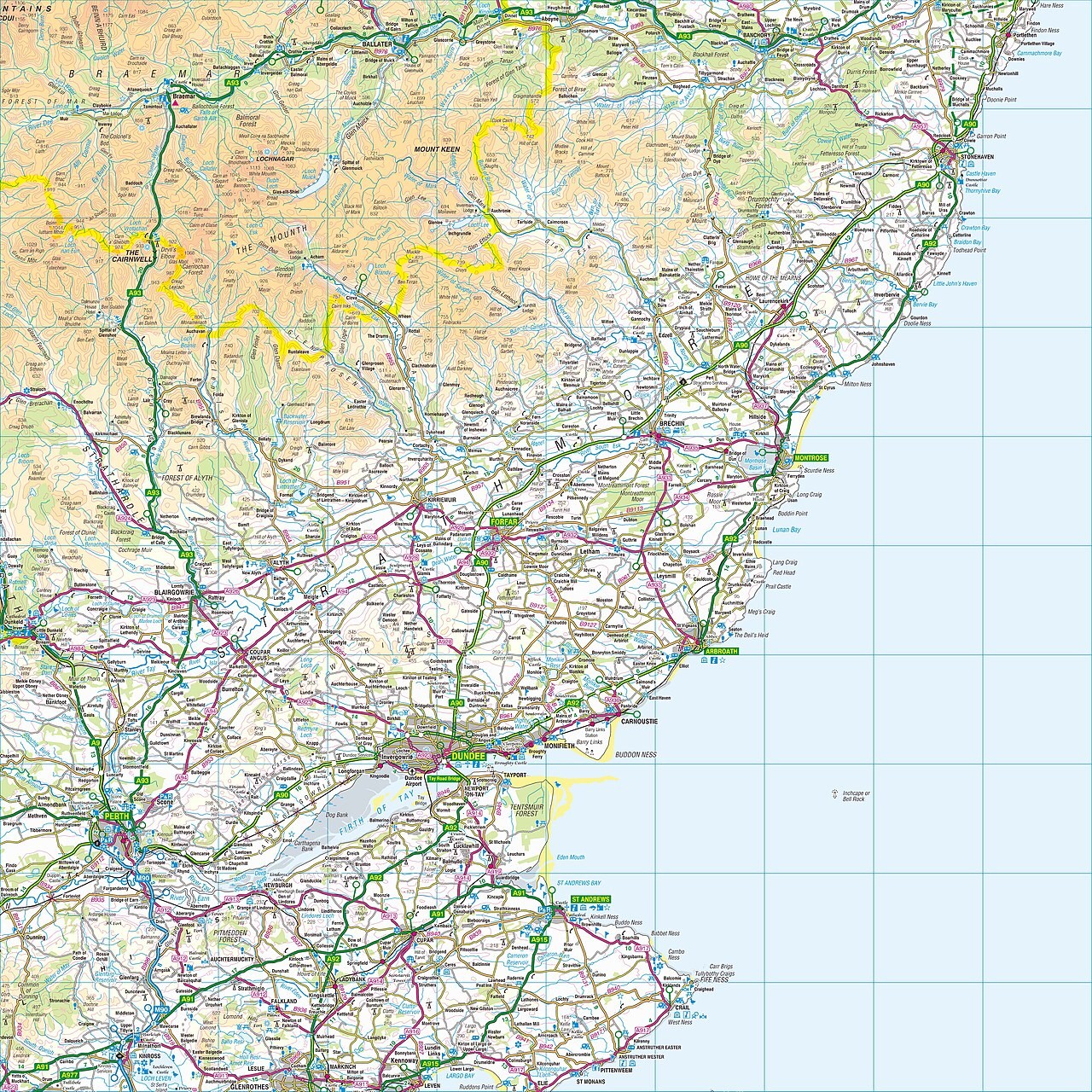
WGS84
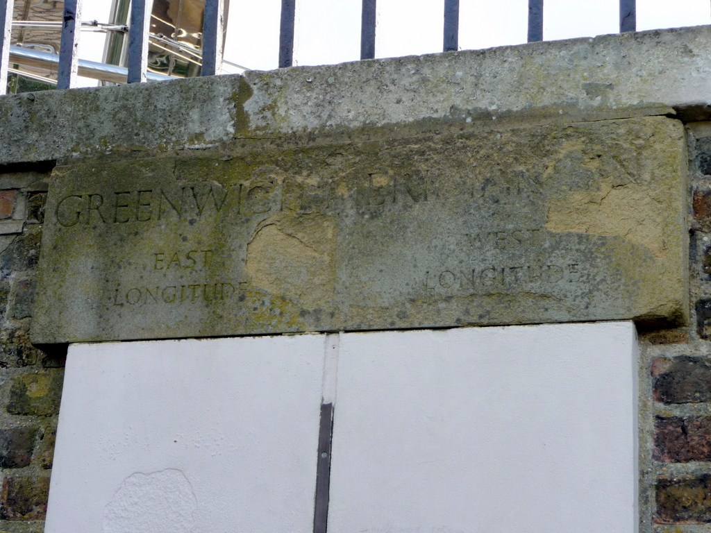
Sources to keep beside the lesson
- Ordnance Survey map skills
- OS GetOutside grid references