Teachers
A lesson for your classroom or geography club
Plate boundaries
All teacher notes · Open the lab
A suggested lesson sequence
Use these stages at your own pace. Pause for students to sketch, compare observations or lead part of the demonstration.
01
Observe
Rotate the present-day globe. Teal marks divergent boundaries, coral convergent boundaries, and sand transform boundaries. Switch to Boundary section to compare their motion.
02
Tinker
Scrub the globe back towards Pangaea using 10 Ma GPlates snapshots. Return to 0 Ma to locate Hawaii.
03
Explain
Choose a boundary and explain how the direction of plate movement accounts for the landforms found there.
04
Check
Choose an answer and explain your reasoning. Each question includes feedback.
Rehearse with the model
The same scene and controls as the lab. Load it when you are ready; use Start projector for the full classroom view.
Before the lesson
Compare the motion at three types of plate boundary and explain how each produces characteristic landforms.
Open the model before the lesson and choose a view that makes the important feature easy to see. Drag to rotate, and use the on-screen controls to change one variable at a time. The Controls panel explains the available keyboard shortcuts.
Pause the animation at a useful moment. Ask students what should happen next, then play it to test their explanation.
Guide the demonstration
Rotate the present-day globe. Teal marks divergent boundaries, coral convergent boundaries, and sand transform boundaries. Switch to Boundary section to compare their motion.
Scrub the globe back towards Pangaea using 10 Ma GPlates snapshots. Return to 0 Ma to locate Hawaii.
Discuss a common misconception
“Continents move through an ocean floor that stays still.” Both continents and ocean floor are carried by lithospheric plates. A plate may include continental and oceanic crust, and its boundary need not follow a coastline. Relative plate motion produces spreading, convergence or sideways slip, with different landforms and geological activity at each type of boundary.
Build the explanation
At divergent boundaries plates separate, at convergent boundaries they approach, and at transform boundaries they slide past. These relative motions help explain the distribution of ridges, trenches and earthquakes.
Scrub the globe back towards Pangaea using 10 Ma GPlates snapshots. These are modern coastlines carried by a plate-motion model, not ancient shorelines. Return to 0 Ma to locate Hawaii.
Past views move modern coastlines using a plate model, so they show continental positions rather than ancient shorelines.
Teaching notes
Distinguish countries from tectonic plates; the United Kingdom lies on the Eurasian plate.
Check that arrows show the relative movement of the plates, including motion parallel to a transform boundary.
Ask students to connect each boundary type with its landforms before introducing a named example.
Check understanding
Open Check for 4 questions. Ask students to explain their choice before revealing the answer.
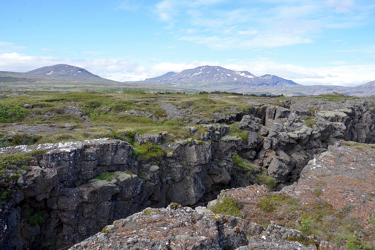
Return to the opening photograph. Ask students to identify one visible feature and explain which part of the model helps account for it.
Look more closely
Use these observations to connect the vocabulary to features students can identify.
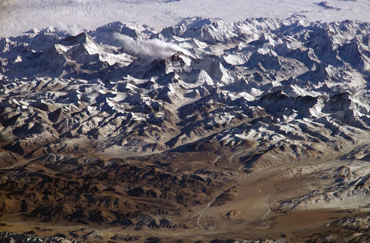
Convergent
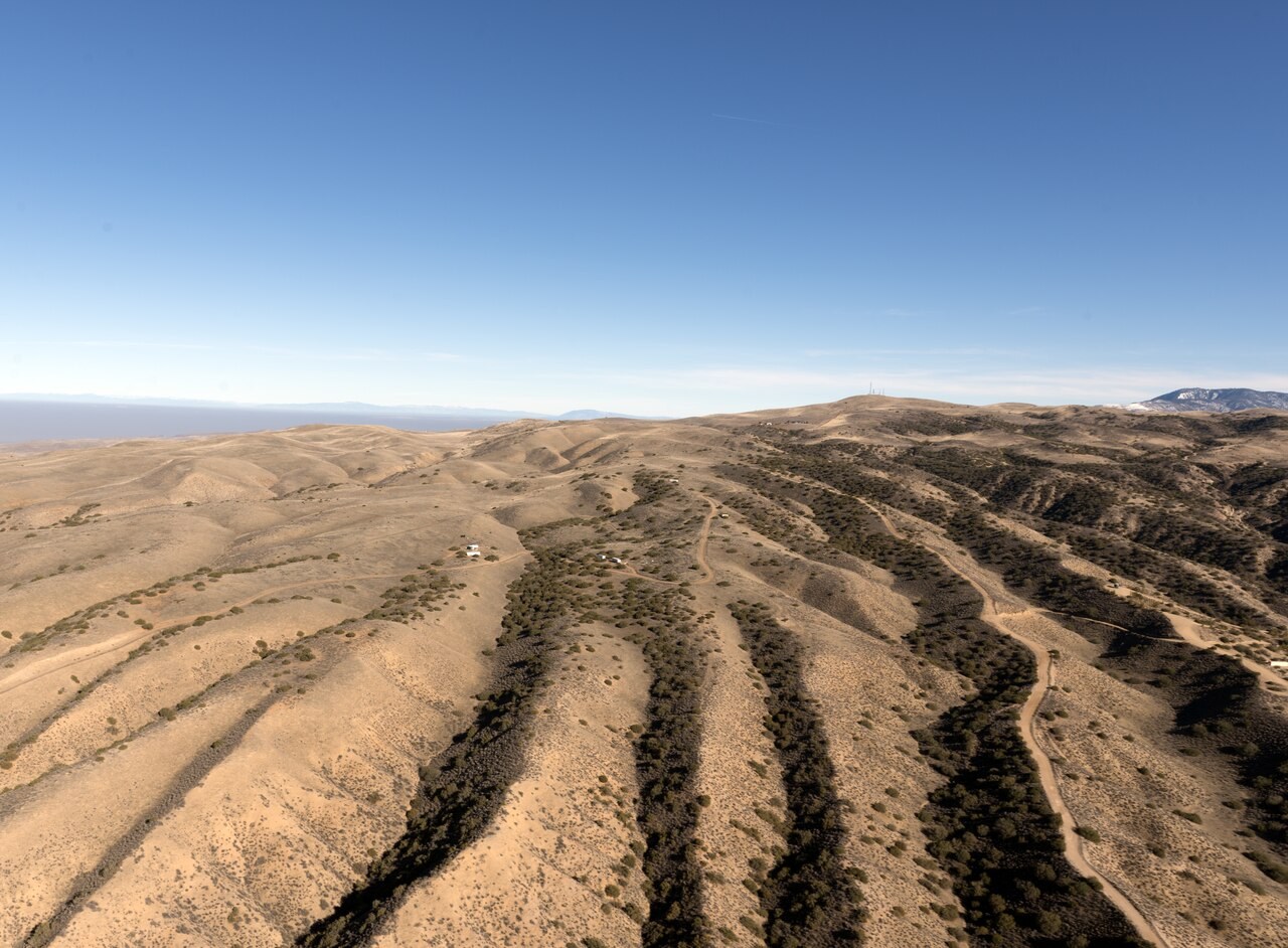
Transform
Sources to keep beside the lesson
- USGS plate boundaries
- Natural Earth
- BGS — plate tectonics
- GPlates MULLER2019 model
- EarthByte data · CC BY 3.0
Watch an explanation
The film stays paused until you play it.
The Plate Tectonics Revolution: Crash Course Geography #19 Crash Course