Teachers
A lesson for your classroom or geography club
Hotspots
All teacher notes · Open the lab
A suggested lesson sequence
Use these stages at your own pace. Pause for students to sketch, compare observations or lead part of the demonstration.
01
Observe
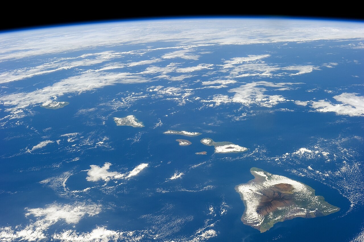
Locate the young and older ends of the Hawaiian comparison.
02
Tinker
Enable Yellowstone and compare its different geographic age direction.
03
Explain
How does the direction of increasing volcanic age indicate the plate’s motion relative to the melting region?
04
Check
Choose an answer and explain your reasoning. Each question includes feedback.
Rehearse with the model
The same scene and controls as the lab. Load it when you are ready; use Start projector for the full classroom view.
Before the lesson
Use the direction of increasing volcanic age to infer relative plate motion in the Hawaiian and Yellowstone examples.
Open the model before the lesson and choose a view that makes the important feature easy to see. Drag to rotate, and use the on-screen controls to change one variable at a time. The Controls panel explains the available keyboard shortcuts.
Pause the animation at a useful moment. Ask students what should happen next, then play it to test their explanation.
Guide the demonstration
Locate the young and older ends of the Hawaiian comparison.
Enable Yellowstone and compare its different geographic age direction.
Discuss a common misconception
“A hotspot must remain perfectly fixed while its plate moves.” A volcanic age track records motion of a plate relative to a region of melting. Plate motion is important, but the source can also shift as the mantle moves. Track direction and age therefore constrain relative motion without requiring an exactly stationary source.
Build the explanation
A moving plate can carry older volcanoes away from a long-lived region of melting. Comparing the direction of increasing age along a volcanic track helps explain relative plate motion.
Enable Yellowstone and compare its different geographic age direction.
The sections illustrate motion and age direction; they do not calculate eruption dates or reproduce the full structure of a mantle plume.
Teaching notes
Treat the selected hotspot examples as separate volcanic systems rather than one continuous plume.
Describe the warm mantle region as mostly solid material that can produce partial melting.
Use the illustrated landforms to explain the process without assigning dates or surveyed dimensions to intermediate frames.
Check understanding
Open Check for 3 questions. Ask students to explain their choice before revealing the answer.
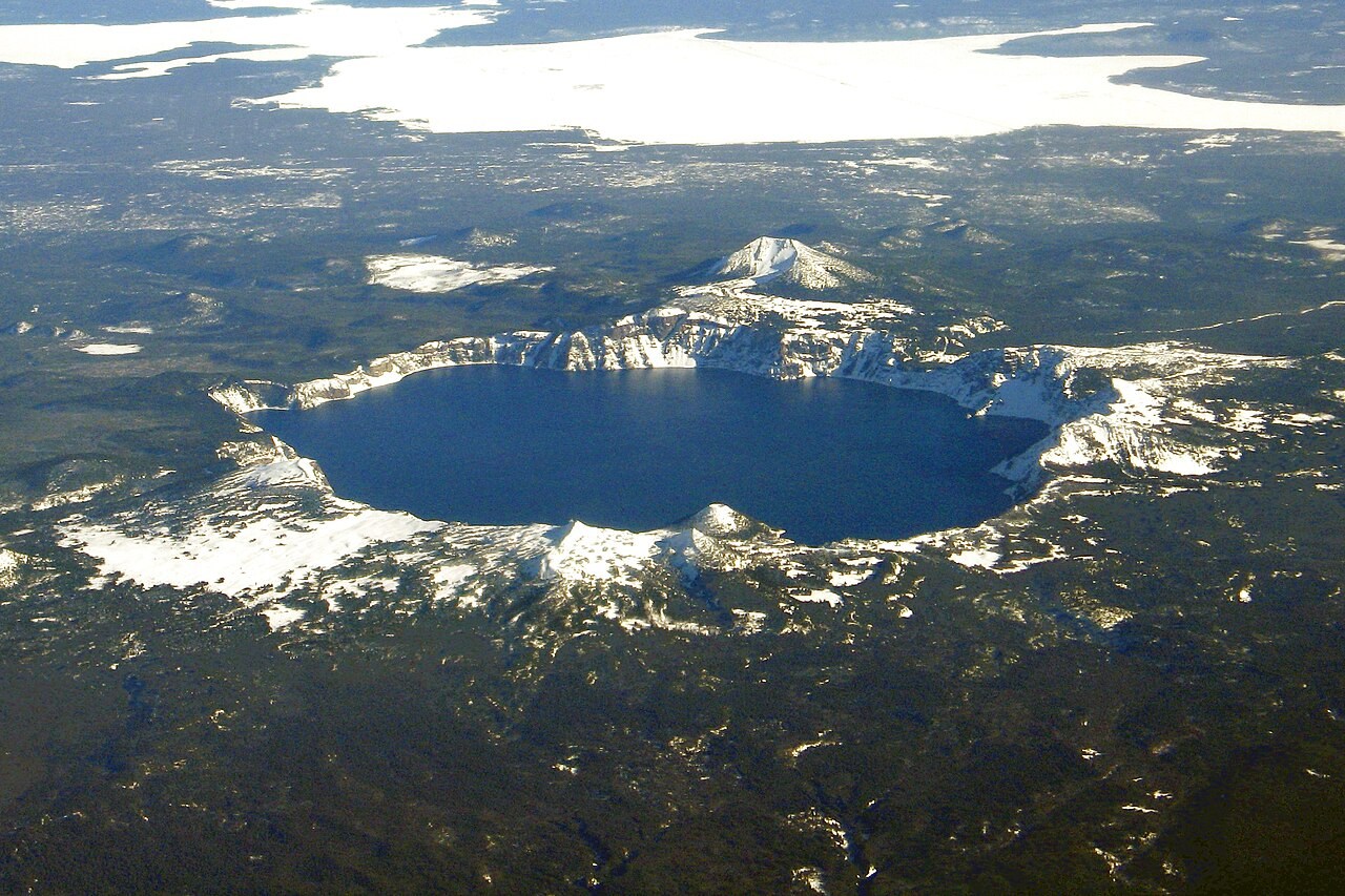
Return to the opening photograph. Ask students to identify one visible feature and explain which part of the model helps account for it.
Look more closely
Use these observations to connect the vocabulary to features students can identify.
Seamount
Caldera