Teachers
A lesson for your classroom or geography club
Continental drift
All teacher notes · Open the lab
A suggested lesson sequence
Use these stages at your own pace. Pause for students to sketch, compare observations or lead part of the demonstration.
01
Observe
Begin with the older reconstruction and identify the major continental blocks. Compare their positions with the present-day globe.
02
Tinker
Move Time before present towards zero and follow India northward. Use geological evidence as well as coastlines when explaining how earlier positions are reconstructed.
03
Explain
Which evidence would you use to test the continental arrangement shown in an older reconstruction?
04
Check
Choose an answer and explain your reasoning. Each question includes feedback.
Rehearse with the model
The same scene and controls as the lab. Load it when you are ready; use Start projector for the full classroom view.
Before the lesson
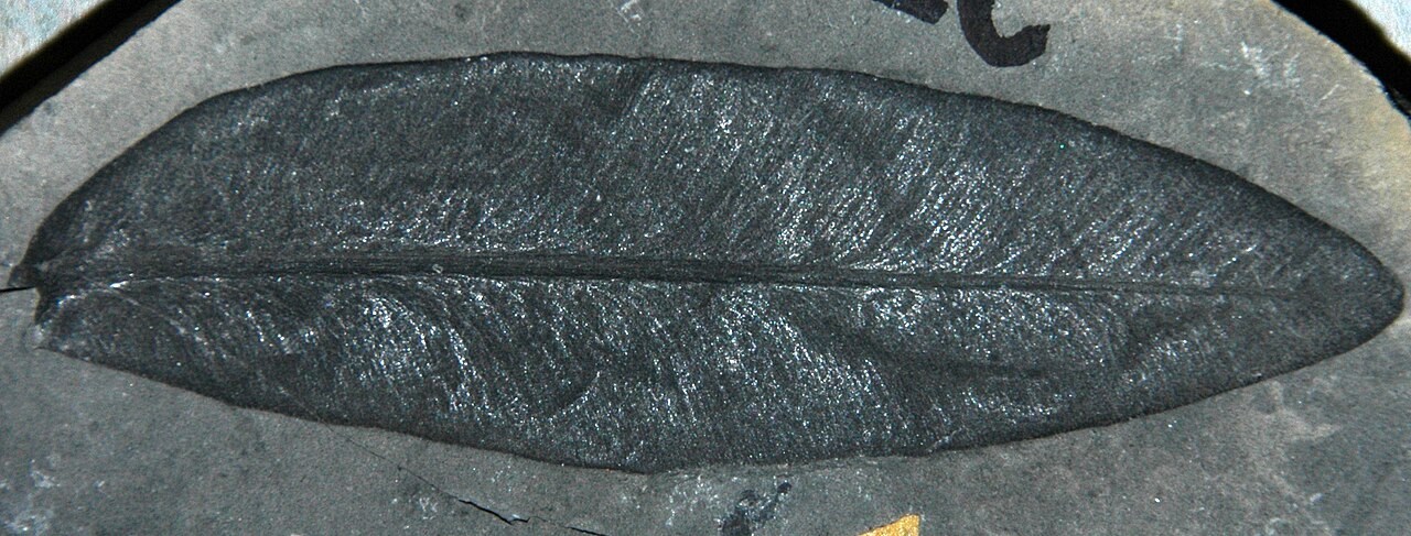
Compare reconstructed continental positions through time and use fossil and coastline evidence to discuss the former arrangement of Pangaea.
Open the model before the lesson and choose a view that makes the important feature easy to see. Drag to rotate, and use the on-screen controls to change one variable at a time. The Controls panel explains the available keyboard shortcuts.
Pause the animation at a useful moment. Ask students what should happen next, then play it to test their explanation.
Guide the demonstration
Begin with the older reconstruction and identify the major continental blocks. Compare their positions with the present-day globe.
Move Time before present towards zero and follow India northward. Use geological evidence as well as coastlines when explaining how earlier positions are reconstructed.
Discuss a common misconception
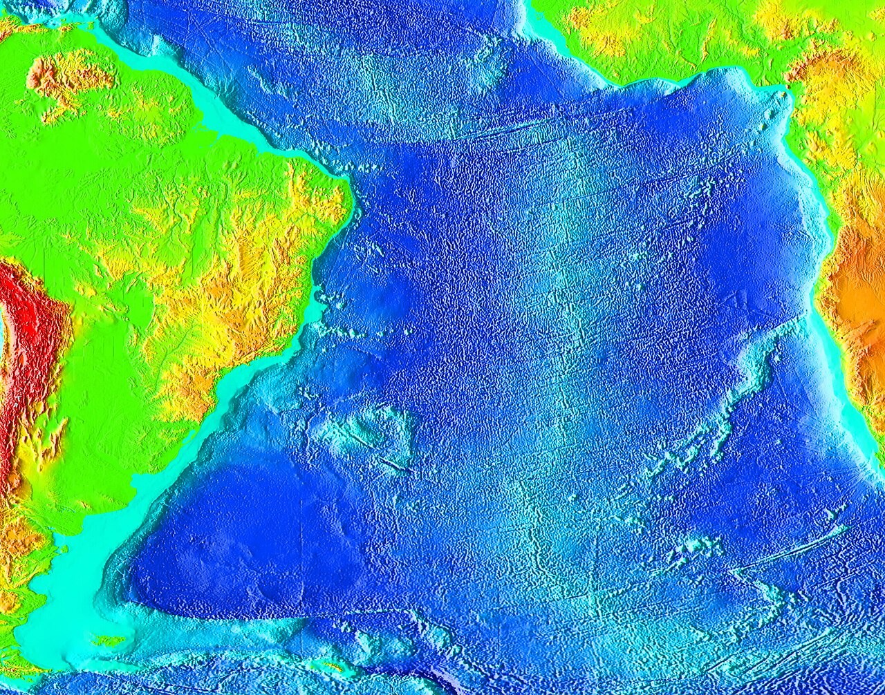
“Matching modern coastlines is enough to prove how the continents once fitted together.” Coastlines change with sea level, erosion and deposition, so their fit is approximate. Reconstructions also use continental margins, matching rock sequences and structures, fossils, and magnetic evidence. Agreement among different kinds of evidence provides a stronger basis for estimating past continental positions.
Build the explanation
Continents move with tectonic plates. Matching geological evidence across oceans helped establish continental drift, and plate reconstructions combine evidence to estimate earlier continental positions.
Move Time before present towards zero and follow India northward. Use geological evidence as well as coastlines when explaining how earlier positions are reconstructed.
Modern coastlines are moved by a reconstruction model; ancient coastlines also depended on sea level, erosion and sedimentation.
Teaching notes
Explain that Pangaea was one of several supercontinents and that oceanic crust moves with the plates.
Use continental margins and geological evidence rather than matching modern beaches alone.
Distinguish a tectonic plate from a country; the United Kingdom moves with the Eurasian plate.
Check understanding
Open Check for 4 questions. Ask students to explain their choice before revealing the answer.
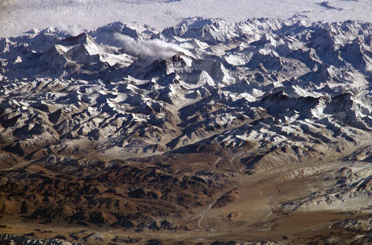
Return to the opening photograph. Ask students to identify one visible feature and explain which part of the model helps account for it.
Look more closely
Use these observations to connect the vocabulary to features students can identify.
Pangaea
Continental shelf
Sources to keep beside the lesson
- USGS plates
- BGS