Teachers
A lesson for your classroom or geography club
River long profile
All teacher notes · Open the lab
A suggested lesson sequence
Use these stages at your own pace. Pause for students to sketch, compare observations or lead part of the demonstration.
01
Observe
Follow the bed from the steeper upper reach through bends to the gentler lower reach. These are parts of one river.
02
Tinker
Raise Discharge and compare stage and wetted margins. Play follows water downstream without eroding the fixed channel.
03
Explain
Why does raising discharge change the water level even when the channel shape stays fixed?
04
Check
Choose an answer and explain your reasoning. Each question includes feedback.
Rehearse with the model
The same scene and controls as the lab. Load it when you are ready; use Start projector for the full classroom view.
Before the lesson
Follow a river from source to mouth and explain how its gradient, channel shape and flow change downstream.
Open the model before the lesson and choose a view that makes the important feature easy to see. Drag to rotate, and use the on-screen controls to change one variable at a time. The Controls panel explains the available keyboard shortcuts.
Pause the animation at a useful moment. Ask students what should happen next, then play it to test their explanation.
Guide the demonstration
Follow the bed from the steeper upper reach through bends to the gentler lower reach. These are parts of one river.
Raise Discharge and compare stage and wetted margins. Play follows water downstream without eroding the fixed channel.
Discuss a common misconception
“A river’s upper, middle and lower courses are separate kinds of river.” These terms describe reaches along one river system. Gradient, channel form, discharge and sediment can change downstream, often gradually and with local interruptions. They help compare patterns along a long profile, but they do not divide every river into three sharply bounded sections.
Build the explanation
A river’s long profile usually becomes gentler downstream. Channel shape, water supply and sediment change along its course, helping explain why steep valleys and broad floodplains occur in different reaches.
Raise Discharge and compare stage and wetted margins. Play follows water downstream without eroding the fixed channel.
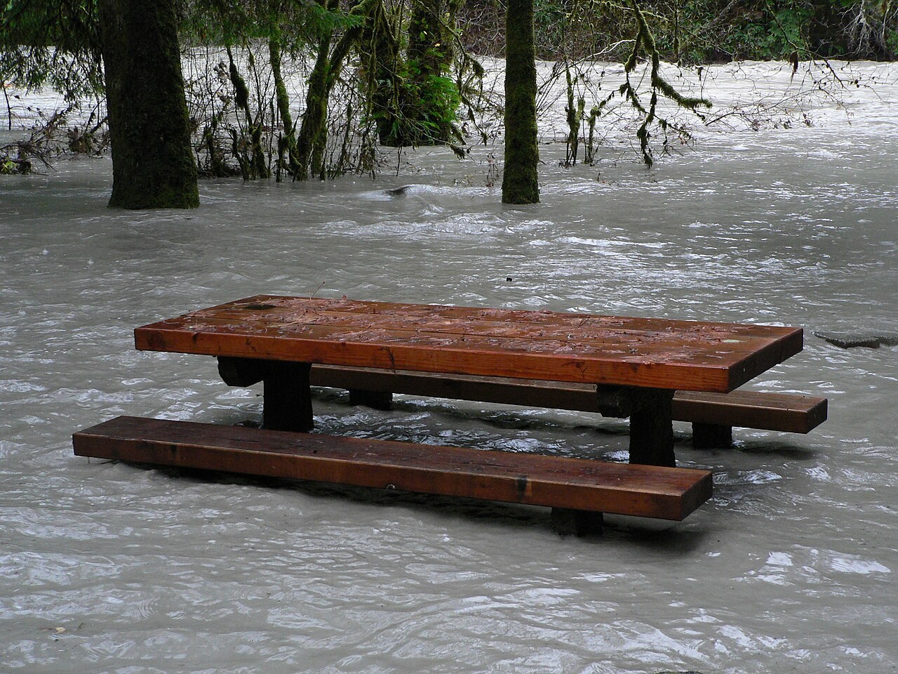
The channel shape stays fixed while the water level changes; the displayed wet margins are an illustration rather than a mapped flood extent.
Teaching notes
Trace the upper, middle and lower courses as connected parts of one river system.
Distinguish a delta from a tidal estuary when discussing a river mouth.
Compare changes in gradient and channel form without assuming every river follows an identical profile.
Check understanding
Open Check for 4 questions. Ask students to explain their choice before revealing the answer.
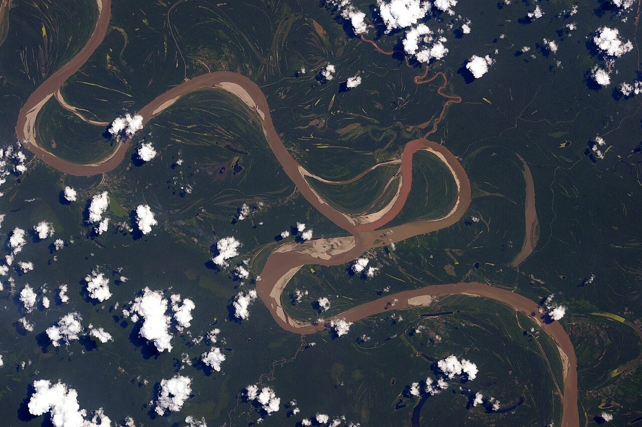
Return to the opening photograph. Ask students to identify one visible feature and explain which part of the model helps account for it.
Look more closely
Use these observations to connect the vocabulary to features students can identify.
Competence
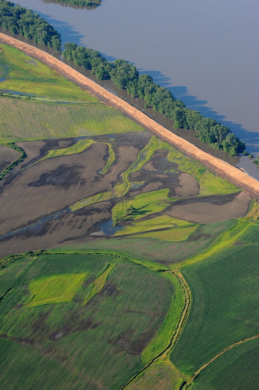
Levée
Sources to keep beside the lesson
- BGS — fluvial geomorphology
- USGS Mississippi River
Watch an explanation
The film stays paused until you play it.
How Rivers Shape the Landscape: Crash Course Geography #23 Crash Course