Teachers
A lesson for your classroom or geography club
Landform types
All teacher notes · Open the lab
A suggested lesson sequence
Use these stages at your own pace. Pause for students to sketch, compare observations or lead part of the demonstration.
01
Observe
Compare Mountain with Plain at the common scale. Distinguish elevation from local relief.
02
Tinker
Replace Plain with Plateau and explain its high flat surface. Compare Hill and Basin, then rotate both.
03
Explain
Why is elevation alone insufficient to distinguish a plateau, a mountain and a plain?
04
Check
Choose an answer and explain your reasoning. Each question includes feedback.
Rehearse with the model
The same scene and controls as the lab. Load it when you are ready; use Start projector for the full classroom view.
Before the lesson
Compare the elevation and shape of mountains, hills, plateaus, plains and basins using a shared scale.
Open the model before the lesson and choose a view that makes the important feature easy to see. Drag to rotate, and use the on-screen controls to change one variable at a time. The Controls panel explains the available keyboard shortcuts.
Ask students to predict the result before you change a setting. Compare the new view with the starting state.
Guide the demonstration
Compare Mountain with Plain at the common scale. Distinguish elevation from local relief.
Replace Plain with Plateau and explain its high flat surface. Compare Hill and Basin, then rotate both.
Discuss a common misconception
“A landform’s shape tells us which single process created it.” A landscape can record several processes acting at different times. A river may occupy a valley widened by ice, while rock structure influences both erosion and slope failure. Shape provides clues, but interpreting the history also needs evidence such as sediments, rock relationships and chronology.
Build the explanation
Elevation, relief, slope and shape describe different properties of terrain. A plateau can stand high above sea level while remaining relatively flat, and a basin is defined by its lower position relative to nearby land.
Replace Plain with Plateau and explain its high flat surface. Compare Hill and Basin, then rotate both.
The five terrain samples use a shared scale for comparison; shape alone does not establish the process or rock type that formed a landscape.
Teaching notes
Use landform categories to organise observations without treating them as universal rules with sharp boundaries.
Distinguish a canyon cut into a landscape from a mountain range raised by tectonic processes.
Explain that the distinction between a hill and a mountain does not have one universally accepted height threshold.
Check understanding
Open Check for 4 questions. Ask students to explain their choice before revealing the answer.
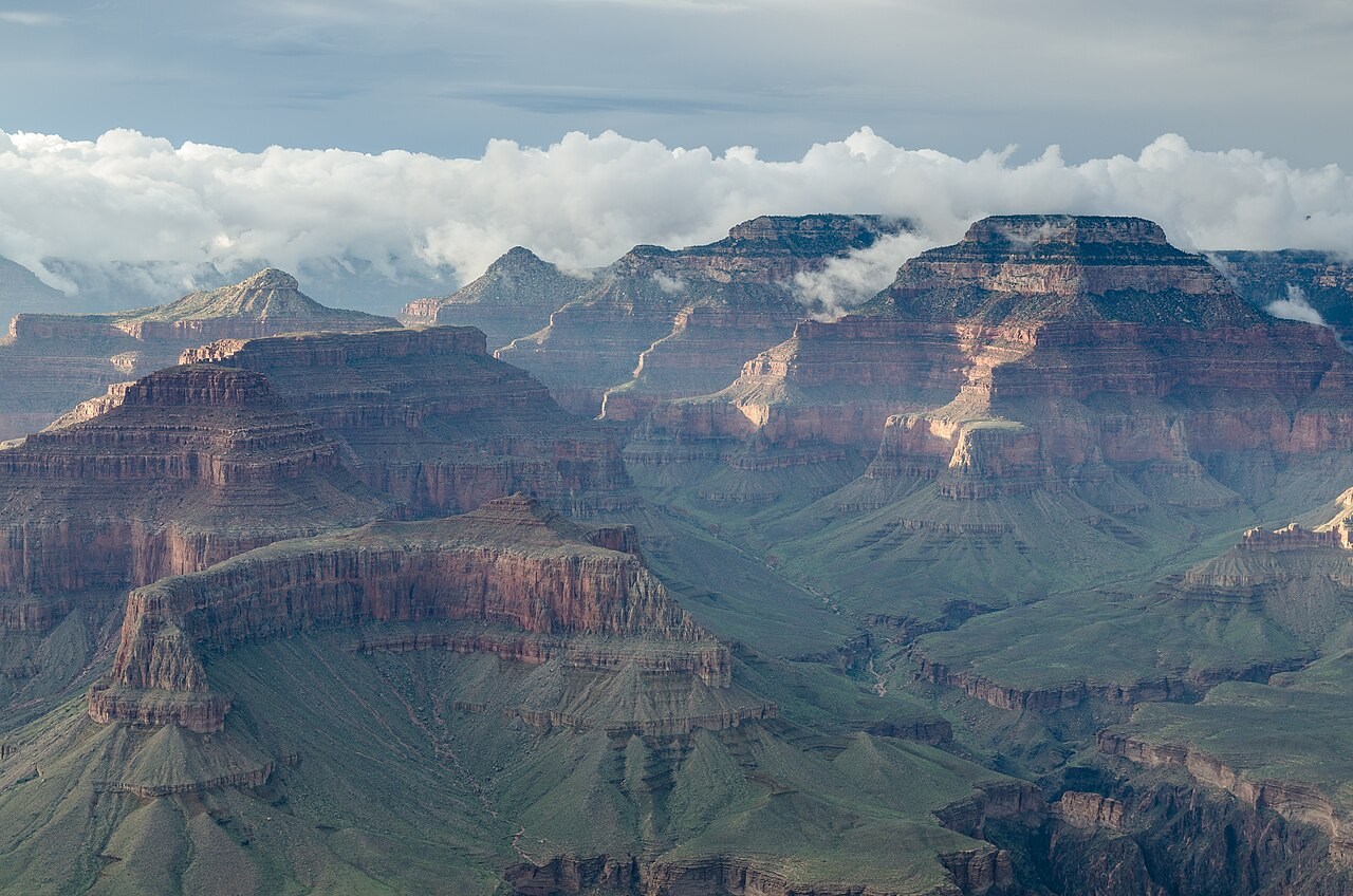
Return to the opening photograph. Ask students to identify one visible feature and explain which part of the model helps account for it.
Look more closely
Use these observations to connect the vocabulary to features students can identify.
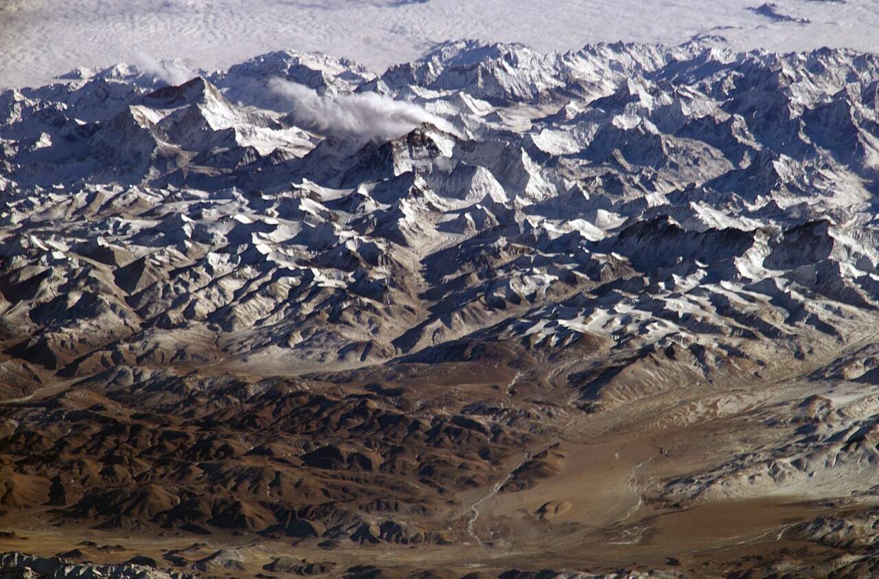
Mountain
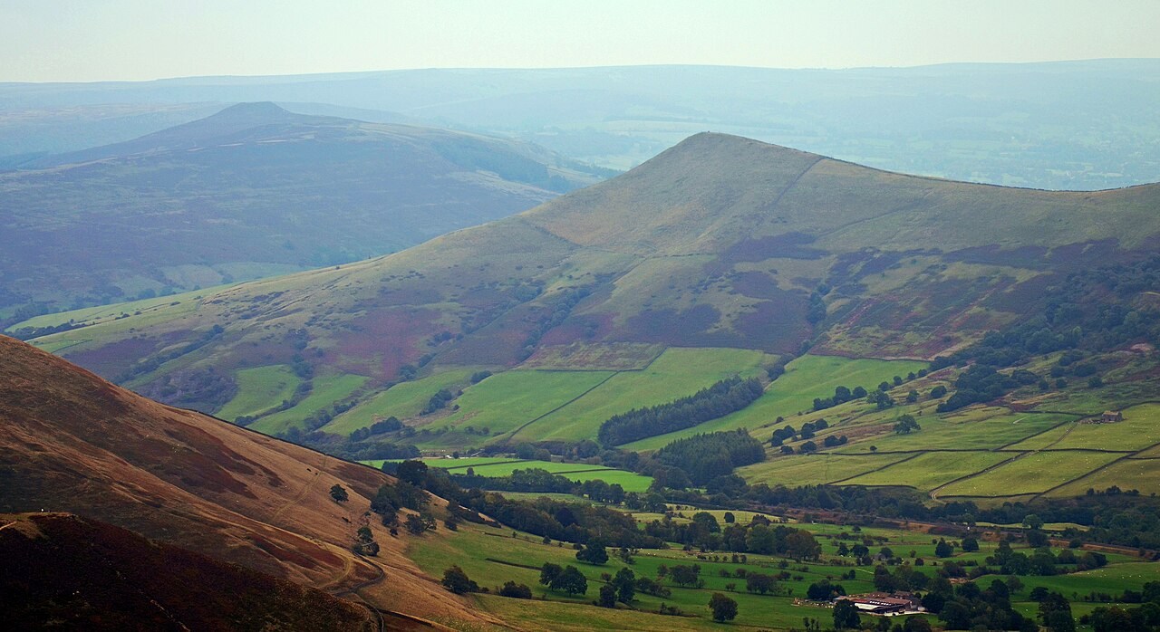
Hill
Sources to keep beside the lesson
- USGS landforms
- BGS