Teachers
A lesson for your classroom or geography club
Soil profile
All teacher notes · Open the lab
A suggested lesson sequence
Use these stages at your own pace. Pause for students to sketch, compare observations or lead part of the demonstration.
01
Observe
Choose the temperate profile and read its depth scale. Name O, A, Bw and C; explain why E and R are not compulsory.
02
Tinker
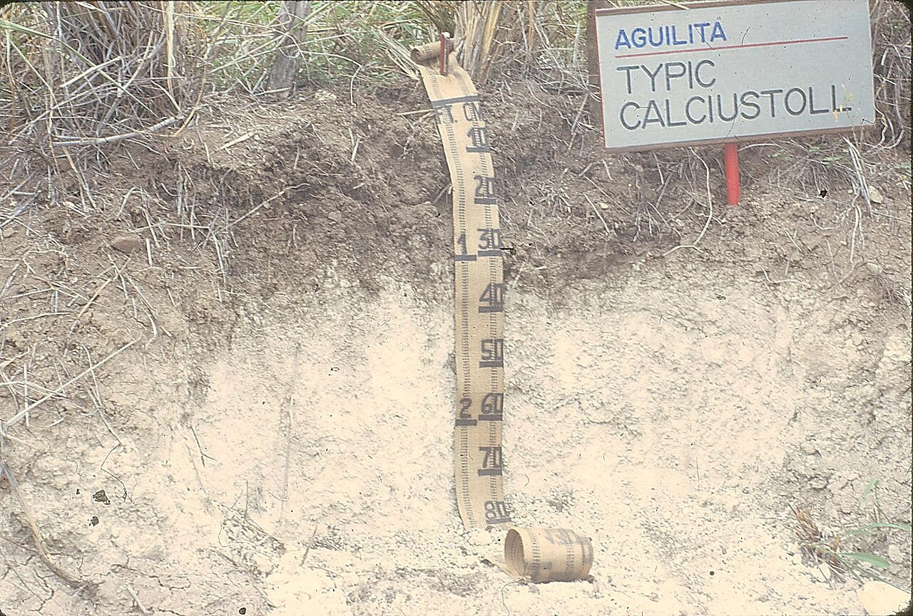
Compare the dark mineral surface in the Mollisol example. Switch to Oxisol and discuss gradual boundaries and intense weathering.
03
Explain
How do the profiles show that a soil need not contain every possible horizon?
04
Check
Choose an answer and explain your reasoning. Each question includes feedback.
Rehearse with the model
The same scene and controls as the lab. Load it when you are ready; use Start projector for the full classroom view.
Before the lesson
Identify the horizons in a soil profile and compare how water, organic matter and parent material influence their development.
Open the model before the lesson and choose a view that makes the important feature easy to see. Drag to rotate, and use the on-screen controls to change one variable at a time. The Controls panel explains the available keyboard shortcuts.
Ask students to predict the result before you change a setting. Compare the new view with the starting state.
Guide the demonstration
Choose the temperate profile and read its depth scale. Name O, A, Bw and C; explain why E and R are not compulsory.
Compare the dark mineral surface in the Mollisol example. Switch to Oxisol and discuss gradual boundaries and intense weathering.
Discuss a common misconception
“Every soil contains the same sequence and thickness of horizons.” Soil profiles develop through interactions among parent material, climate, organisms, relief and time. Some horizons may be absent, weakly developed or altered by erosion and land use. Colour helps describe a profile, but classification also depends on diagnostic properties and processes.
Build the explanation
A soil profile exposes horizons formed by organic inputs, weathering and material movement. Their colours and textures can provide clues, but not every soil contains every horizon.
Compare the dark mineral surface in the Mollisol example. Switch to Oxisol and discuss gradual boundaries and intense weathering.
The selected profiles are examples; identifying a soil order also requires diagnostic properties beyond a colour match.
Teaching notes
Compare the selected profile with other environments rather than presenting it as a universal sequence of horizons.
Distinguish surface topsoil from the underlying horizons and from the bedrock represented by the R horizon.
Connect a deeply weathered tropical soil with its formation conditions rather than equating it with peat.
Check understanding
Open Check for 4 questions. Ask students to explain their choice before revealing the answer.
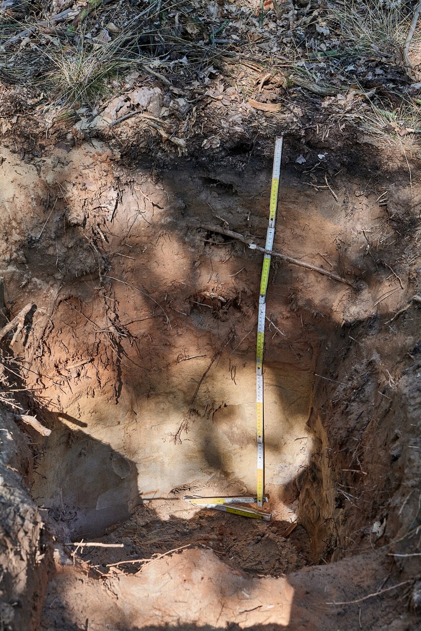
Return to the opening photograph. Ask students to identify one visible feature and explain which part of the model helps account for it.
Look more closely
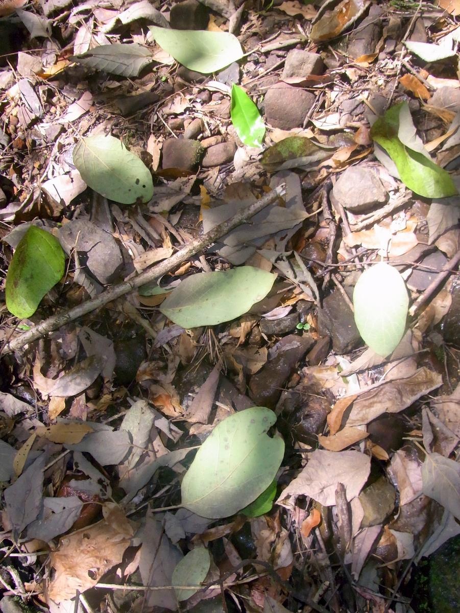
Use these observations to connect the vocabulary to features students can identify.
O horizon
A horizon
Sources to keep beside the lesson
- USDA NRCS
- BGS soils
- NRCS soil horizons
- NRCS Oxisols