Teachers
A lesson for your classroom or geography club
Soil erosion
All teacher notes · Open the lab
A suggested lesson sequence
Use these stages at your own pace. Pause for students to sketch, compare observations or lead part of the demonstration.
01
Observe
Identify the bare and covered plots and the three sediment stores.
02
Tinker
Play or scrub; compare cover and then change the transport mechanism.
03
Explain
Why does detached sediment not necessarily leave the plot immediately?
04
Check
Choose an answer and explain your reasoning. Each question includes feedback.
Rehearse with the model
The same scene and controls as the lab. Load it when you are ready; use Start projector for the full classroom view.
Before the lesson
Compare soil loss under different vegetation cover and explain how runoff carries sediment away from a slope.
Open the model before the lesson and choose a view that makes the important feature easy to see. Drag to rotate, and use the on-screen controls to change one variable at a time. The Controls panel explains the available keyboard shortcuts.
Pause the animation at a useful moment. Ask students what should happen next, then play it to test their explanation.
Guide the demonstration
Identify the bare and covered plots and the three sediment stores.
Play or scrub; compare cover and then change the transport mechanism.
Discuss a common misconception
“Vegetation prevents all soil erosion.” Plant cover can intercept raindrops, protect the soil and slow surface flow, reducing erosion. Its effectiveness depends on cover density, roots, soil condition, slope and the event itself. Even a vegetated slope can lose sediment during intense runoff or other disturbances.
Build the explanation
Raindrops and flowing water can detach and carry soil. Ground cover reduces exposure and can slow transport, while deposited sediment remains within the catchment until it moves again.
Play or scrub; compare cover and then change the transport mechanism.
The selected sediment budget is a classroom comparison; local erosion rates require evidence about rainfall, soil and land management.
Teaching notes
Treat the selected coefficients as model inputs rather than measurements from a particular field.
Distinguish soil detached at the surface from sediment that is eventually exported from the plot.
Use the numerical readings for quantities; enlarged raindrops and grains help show the process rather than their actual sizes.
Check understanding
Open Check for 3 questions. Ask students to explain their choice before revealing the answer.
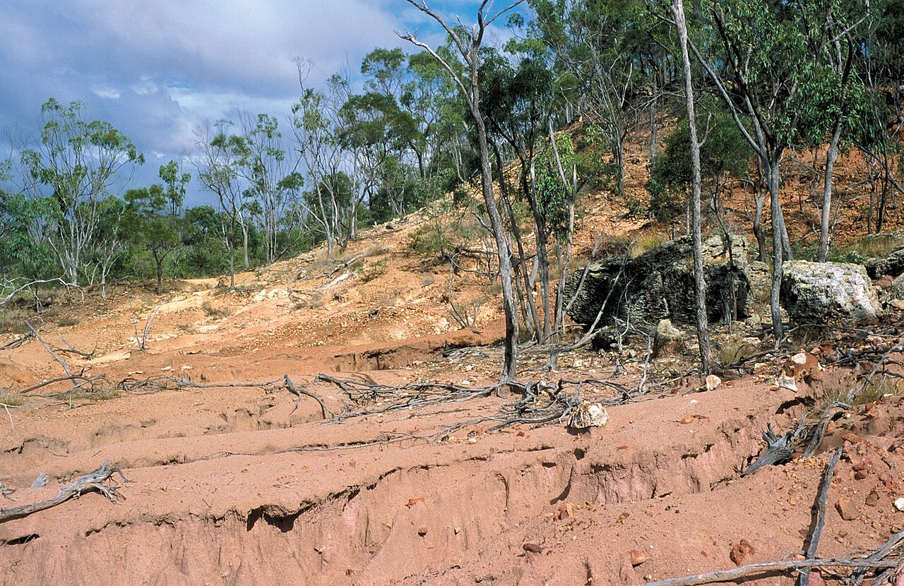
Return to the opening photograph. Ask students to identify one visible feature and explain which part of the model helps account for it.
Look more closely
Use these observations to connect the vocabulary to features students can identify.
Rain splash

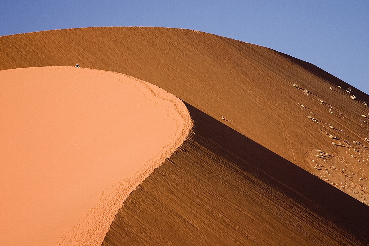
Deflation
Sources to keep beside the lesson
- USDA NRCS
- NOAA Dust Bowl
- NRCS soil cover and protection
- NRCS RUSLE2: a different erosion-estimation method