Teachers
A lesson for your classroom or geography club
Drainage basin
All teacher notes · Open the lab
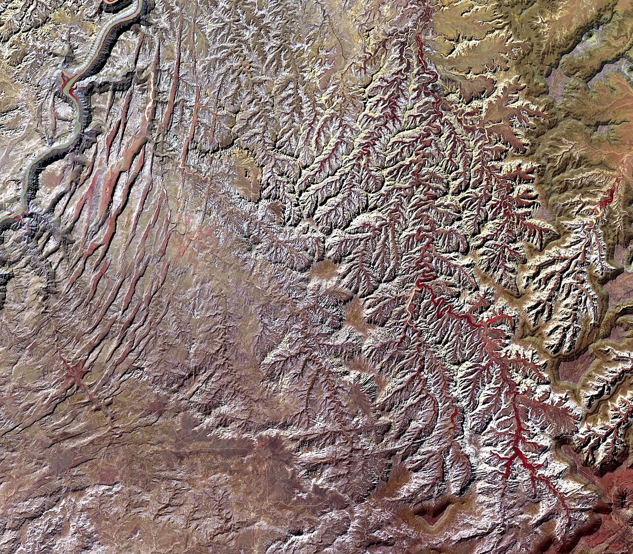
A suggested lesson sequence
Use these stages at your own pace. Pause for students to sketch, compare observations or lead part of the demonstration.
01
Observe
Show the drainage divide and trace the edge of the basin. Identify which slopes drain towards the same outlet.
02
Tinker
Follow a tributary to its confluence with the main river. Hide the labels and ask a partner to locate the source, confluence and mouth.
03
Explain
How does the drainage divide determine which slopes supply water to the same river outlet?
04
Check
Choose an answer and explain your reasoning. Each question includes feedback.
Rehearse with the model
The same scene and controls as the lab. Load it when you are ready; use Start projector for the full classroom view.
Before the lesson
Trace water through a drainage basin and explain how the watershed connects the tributaries to a shared outlet.
Open the model before the lesson and choose a view that makes the important feature easy to see. Drag to rotate, and use the on-screen controls to change one variable at a time. The Controls panel explains the available keyboard shortcuts.
Pause the animation at a useful moment. Ask students what should happen next, then play it to test their explanation.
Guide the demonstration
Show the drainage divide and trace the edge of the basin. Identify which slopes drain towards the same outlet.
Follow a tributary to its confluence with the main river. Hide the labels and ask a partner to locate the source, confluence and mouth.
Discuss a common misconception
“All rain falling within a drainage basin reaches its river immediately.” Rainfall can be intercepted, infiltrate soil, replenish groundwater, evaporate or enter surface runoff. These pathways have different travel times, and some water remains stored or leaves through evapotranspiration. The river’s response depends on both rainfall and the basin’s existing conditions.
Build the explanation
A drainage basin collects water that flows towards a common outlet. The watershed separates it from neighbouring basins; tributaries connect hillslope inputs to the main river.
Follow a tributary to its confluence with the main river. Hide the labels and ask a partner to locate the source, confluence and mouth.
The terrain is a teaching catchment, and the flow traces show routes rather than measured travel times.
Teaching notes
Trace the full land area draining towards the outlet, not only the river channels.
Clarify whether watershed means the drainage divide or the whole basin in the terminology being used.
Distinguish the river mouth from a delta, which forms only where sediment accumulates under suitable conditions.
Check understanding
Open Check for 4 questions. Ask students to explain their choice before revealing the answer.
Return to the opening photograph. Ask students to identify one visible feature and explain which part of the model helps account for it.
Look more closely
Use these observations to connect the vocabulary to features students can identify.
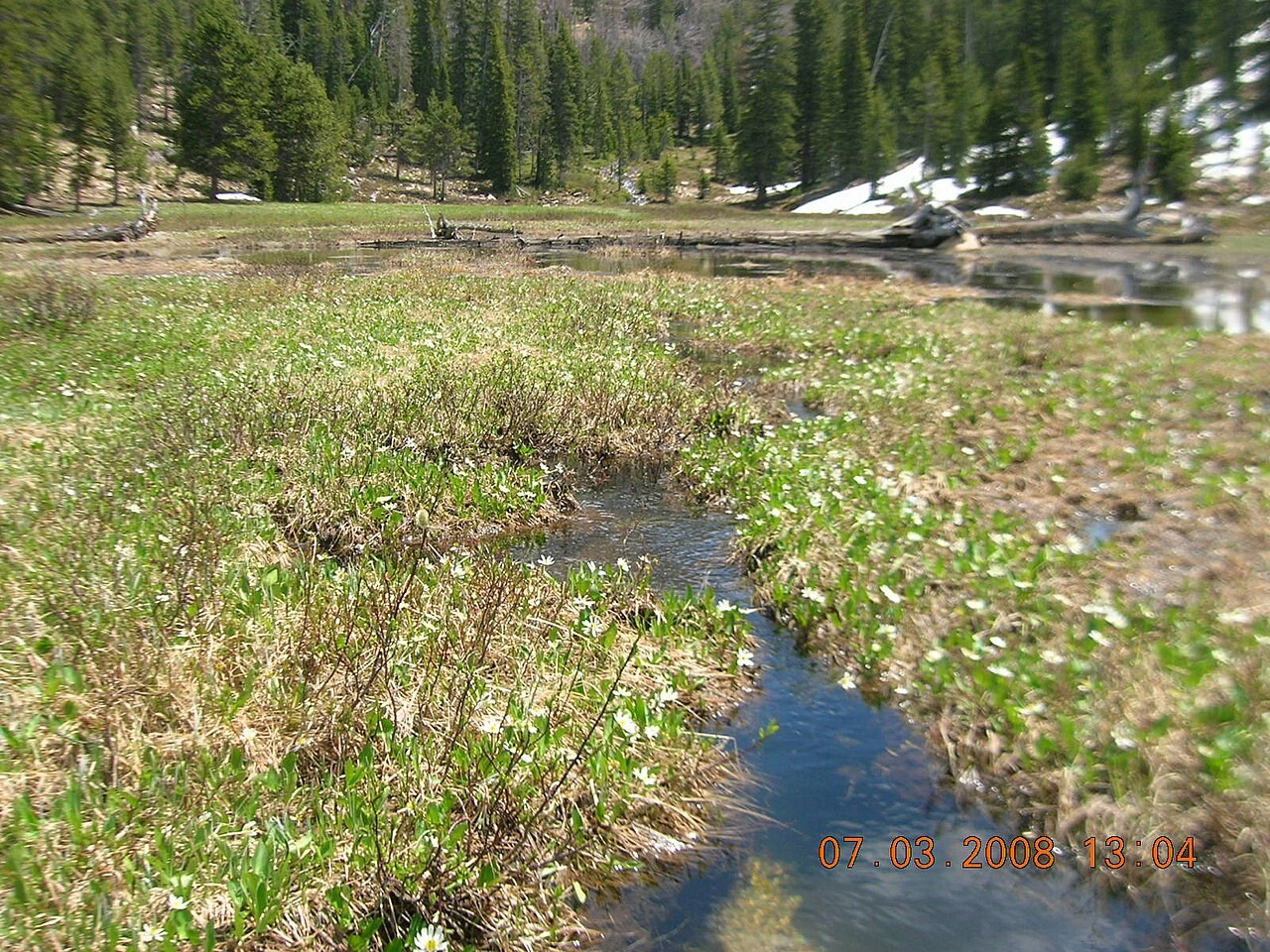
Source
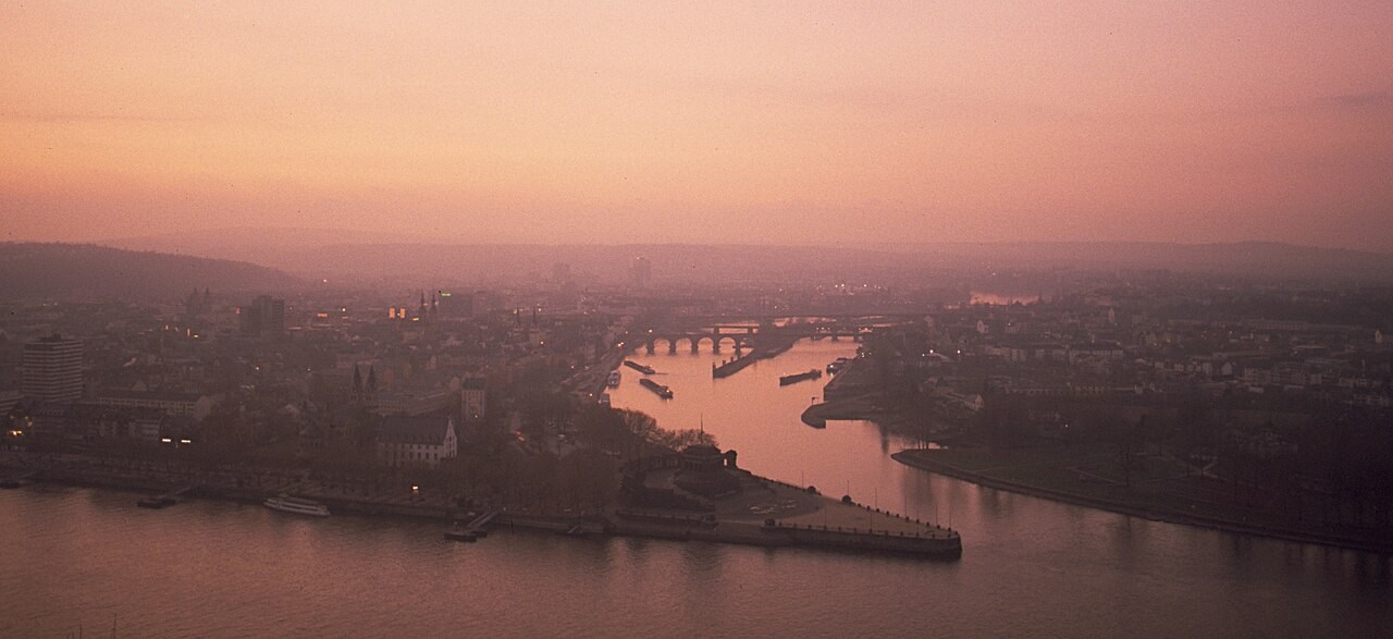
Confluence
Sources to keep beside the lesson
- UKCEH
- USGS