Teachers
A lesson for your classroom or geography club
Groundwater
All teacher notes · Open the lab
A suggested lesson sequence
Use these stages at your own pace. Pause for students to sketch, compare observations or lead part of the demonstration.
01
Observe
Name the saturated pores and water table before pumping. Raise Pump and compare the well head with the fixed boundary.
02
Tinker
Switch to Confined aquifer: the gold surface is pressure head, not a lake.
03
Explain
How does lowering the water level in a well change the hydraulic gradient around it?
04
Check
Choose an answer and explain your reasoning. Each question includes feedback.
Rehearse with the model
The same scene and controls as the lab. Load it when you are ready; use Start projector for the full classroom view.
Before the lesson
Locate water in connected pores and explain how pumping changes the water table and flow towards a well.
Open the model before the lesson and choose a view that makes the important feature easy to see. Drag to rotate, and use the on-screen controls to change one variable at a time. The Controls panel explains the available keyboard shortcuts.
Pause the animation at a useful moment. Ask students what should happen next, then play it to test their explanation.
Guide the demonstration
Name the saturated pores and water table before pumping. Raise Pump and compare the well head with the fixed boundary.
Switch to Confined aquifer: the gold surface is pressure head, not a lake.
Discuss a common misconception
“Groundwater usually occupies a single underground lake.” Most groundwater occupies connected pores and fractures in rock or sediment. In an unconfined aquifer, the water table marks the top of the saturated zone. In a confined aquifer, water in a well may rise above the aquifer because of pressure rather than an underground open lake.
Build the explanation
Groundwater fills connected pores and fractures below the water table. Pumping lowers hydraulic head near a well, creating a gradient that draws water towards it.
Switch to Confined aquifer: the gold surface is pressure head, not a lake.
The steady-flow calculation holds the outer head fixed; it does not determine recharge, long-term depletion or sustainable abstraction.
Teaching notes
Show groundwater occupying pores and fractures rather than presenting underground rivers as the usual arrangement.
Explain that pumping removes water from an existing store and can lower the water table.
Distinguish a rock’s ability to store water from its ability to transmit enough water to act as a useful aquifer.
Check understanding
Open Check for 4 questions. Ask students to explain their choice before revealing the answer.
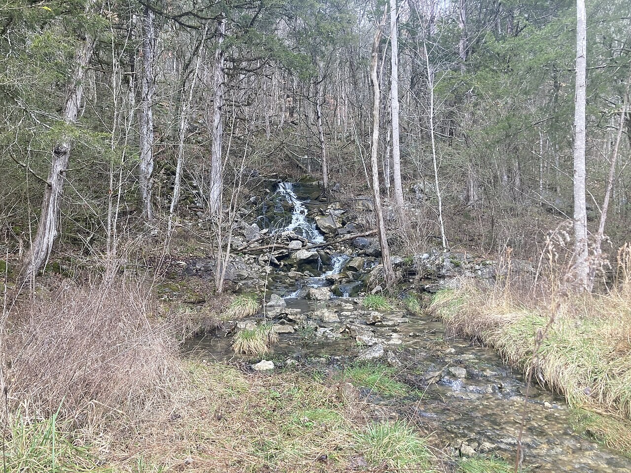
Return to the opening photograph. Ask students to identify one visible feature and explain which part of the model helps account for it.
Look more closely
Use these observations to connect the vocabulary to features students can identify.
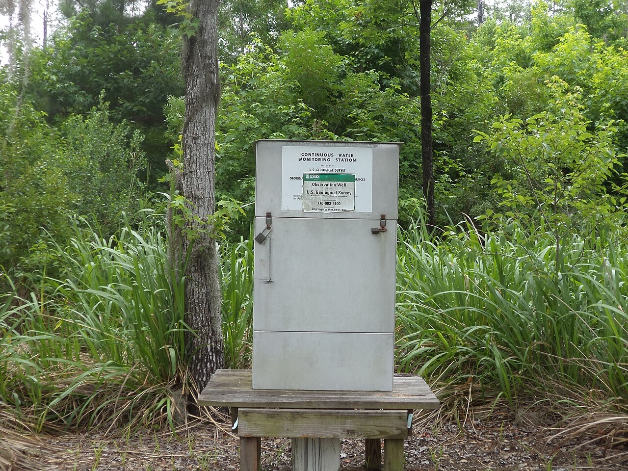
Water table
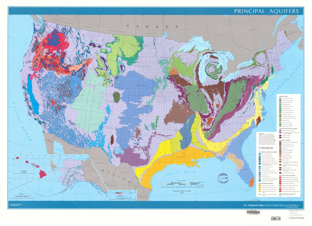
Aquifer
Sources to keep beside the lesson
- BGS groundwater
- USGS Ogallala / High Plains aquifer
- USGS groundwater hydraulics