Teachers
A lesson for your classroom or geography club
Thermohaline conveyor
All teacher notes · Open the lab
A suggested lesson sequence
Use these stages at your own pace. Pause for students to sketch, compare observations or lead part of the demonstration.
01
Observe
Trace the upper limb, deep return and upwelling in the section. Name winds and mixing as well as buoyancy.
02
Tinker
Open Density experiment and compare parcel density with the reference. Start at Process 0: the parcel is at mid-depth. At 4 °C and 35 g/kg, play to observe descent.
03
Explain
Why can cooling and adding freshwater have opposing effects on whether a parcel of seawater sinks?
04
Check
Choose an answer and explain your reasoning. Each question includes feedback.
Rehearse with the model
The same scene and controls as the lab. Load it when you are ready; use Start projector for the full classroom view.
Before the lesson
Explain how cooling and changes in salinity affect seawater density, then relate sinking and rising water to ocean overturning.
Open the model before the lesson and choose a view that makes the important feature easy to see. Drag to rotate, and use the on-screen controls to change one variable at a time. The Controls panel explains the available keyboard shortcuts.
Pause the animation at a useful moment. Ask students what should happen next, then play it to test their explanation.
Guide the demonstration
Trace the upper limb, deep return and upwelling in the section. Name winds and mixing as well as buoyancy.
Open Density experiment and compare parcel density with the reference. Start at Process 0: the parcel is at mid-depth. At 4 °C and 35 g/kg, play to observe descent.
Discuss a common misconception
“The ocean conveyor is one continuous pipe carrying water along a fixed route.” The conveyor image simplifies a network of branching currents, mixing and exchanges between depths. Temperature and salinity influence density, while winds and mixing also help drive circulation. A parcel can follow many routes and take a range of times to move between ocean regions.
Build the explanation
Seawater density depends on temperature and salinity. Cooling and salinity changes can contribute to deep-water formation, connecting surface waters with slower circulation through the ocean interior.
Open Density experiment and compare parcel density with the reference. Start at Process 0: the parcel is at mid-depth. At 4 °C and 35 g/kg, play to observe descent.
The circulation combines several mechanisms, including winds and mixing; it is not a single conveyor driven only by temperature and salinity.
Teaching notes
Treat the conveyor image as a simplified representation of interconnected circulation rather than a single enclosed pipe.
Connect deep-water formation with seawater density and conditions at high latitudes.
Distinguish the timescales and uncertainties of real circulation change from dramatic fictional accounts.
Check understanding
Open Check for 4 questions. Ask students to explain their choice before revealing the answer.
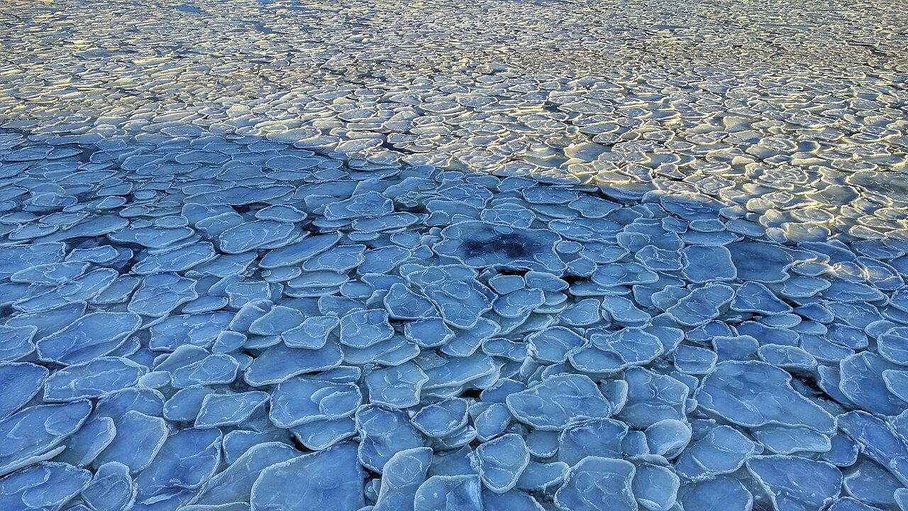
Return to the opening photograph. Ask students to identify one visible feature and explain which part of the model helps account for it.
Look more closely
Use these observations to connect the vocabulary to features students can identify.
Thermohaline
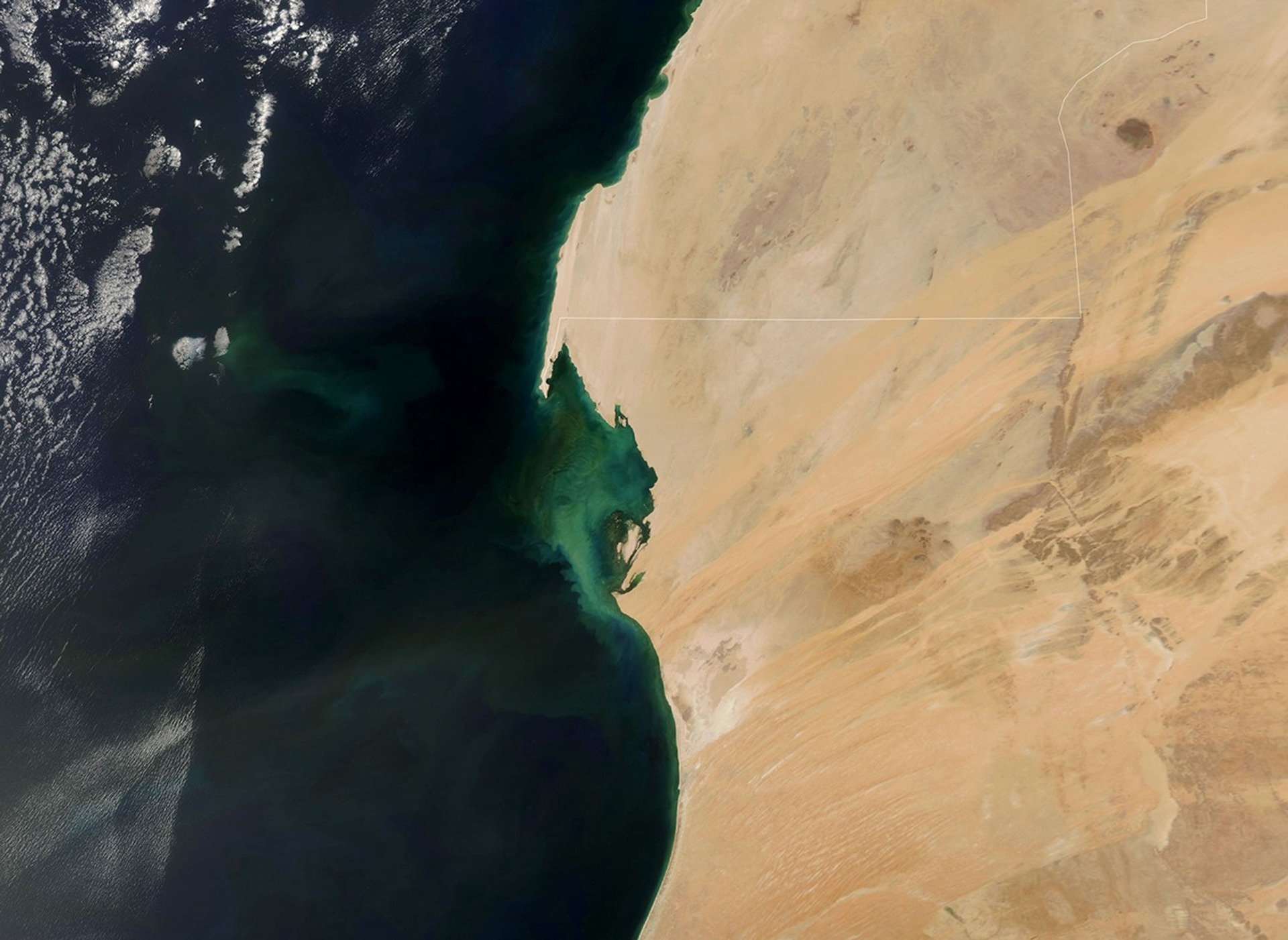
Upwelling
Sources to keep beside the lesson
- NOAA AMOC
- UK Met Office ocean
- NOAA global overturning
- TEOS-10 seawater standard
Watch an explanation
The film stays paused until you play it.
How Do Oceans Circulate? Crash Course Geography #9 Crash Course